-

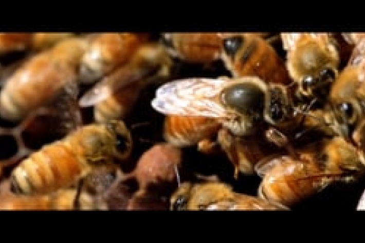
The Gorgon’s Head
Check out the latest critter of the deep, with Sadie Mills! -
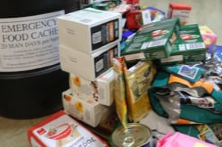
Emergency food rations
These are barrels you don't want to be opening, but if things go south, it’s nice to know they’re there. -
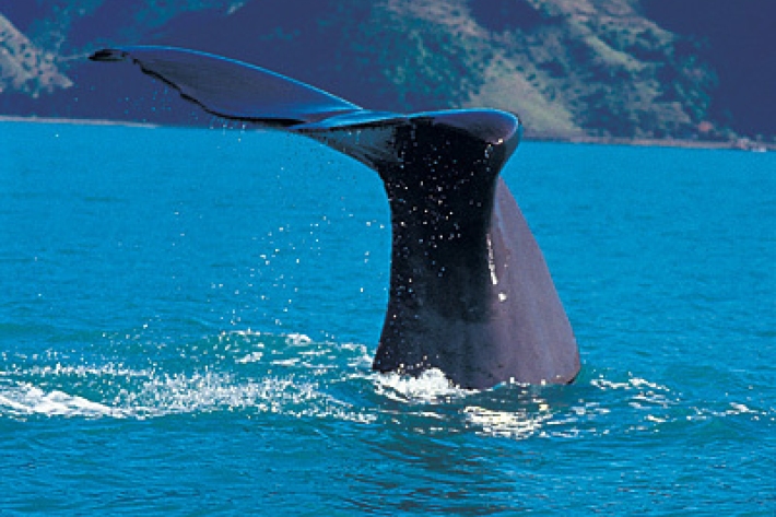
Scientists on the trail of elusive sperm whales
Feature story21 December 2020Acoustic monitoring of sperm whales -
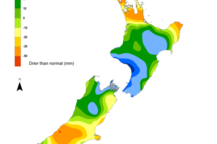
Hotspot Watch 17 December 2020
Hotspot17 December 2020A weekly update describing soil moisture patterns across the country to show where dry to extremely dry conditions are occurring or imminent. Regions experiencing significant soil moisture deficits are deemed “hotspots”. Persistent hotspot regions have the potential to develop into drought. -
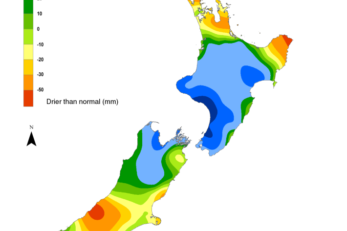
Hotspot Watch 11 December 2020
Hotspot11 December 2020A weekly update describing soil moisture patterns across the country to show where dry to extremely dry conditions are occurring or imminent. Regions experiencing significant soil moisture deficits are deemed “hotspots”. Persistent hotspot regions have the potential to develop into drought. -
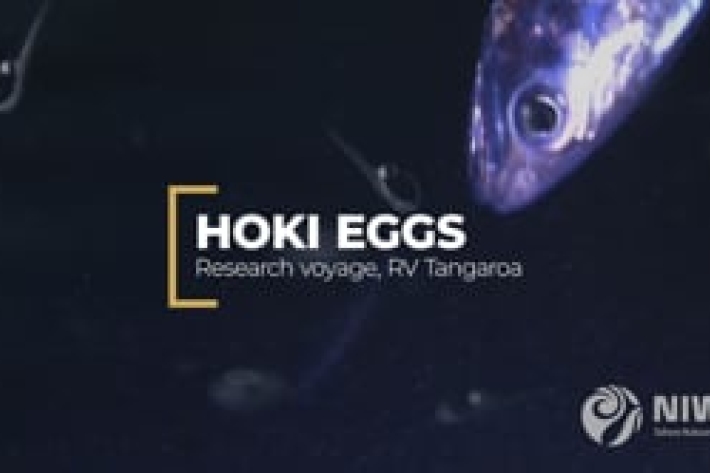
Hoki eggs reveal their secrets
Hoki is New Zealand's largest finfish fishery. Their eggs reveal a few secrets that surprise scientists. -
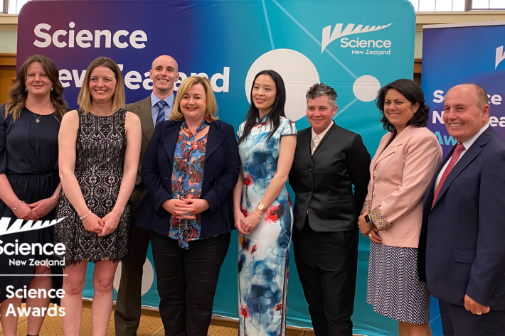
COVID science celebrated
Media release08 December 2020Government scientists commemorated their 2020 award winners at the annual Science New Zealand awards celebration at Parliament last week. -
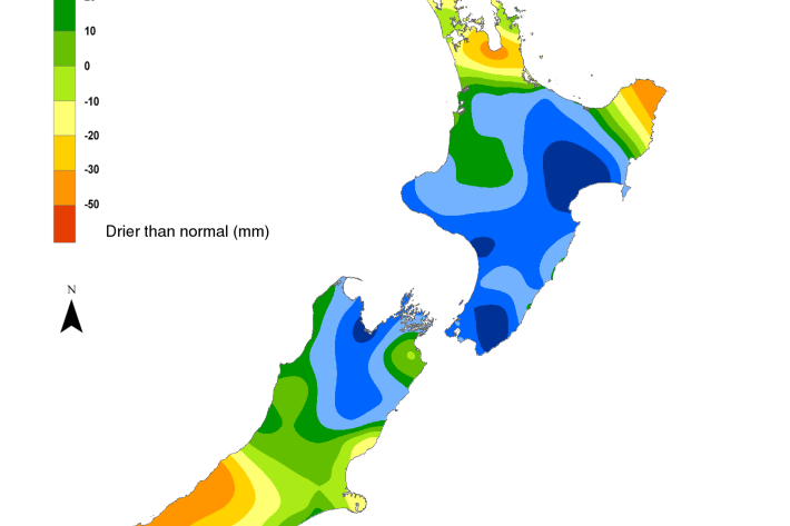
Hotspot Watch 4 December 2020
Hotspot04 December 2020Significant rainfall amounts of 30-70 mm occurred in western Waikato, Taranaki, Wairoa District, and Wellington, during the past week, with a few locations in these areas receiving up to 100 mm. -
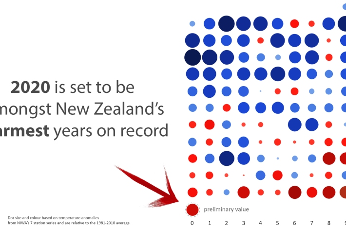
2020 in top 10 warmest years for New Zealand
Media release03 December 2020This year is on track to be one of New Zealand’s top 10 warmest on record, according to NIWA forecasters.