-
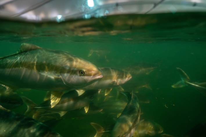
Kingfish – the new species for New Zealand aquaculture
Media release13 August 2024Commercial-scale production of kingfish - a high-value, white-fleshed finfish to complement salmon - is now a reality in New Zealand. -

Supercomputing for the nation - NIWA’s new $20 million supercomputer
Media release12 August 2024A $20 million investment in NIWA’s world-leading climate, marine and freshwater science and advanced technologies. -
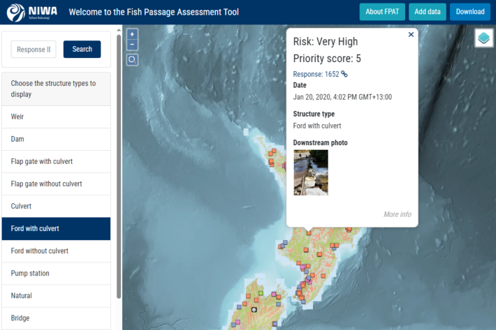
Fish Passage Assessment Tool
Software Tool/ResourceAn easy-to-use system for recording instream structures and assessing their likely impact on fish movements and river connectivity. -
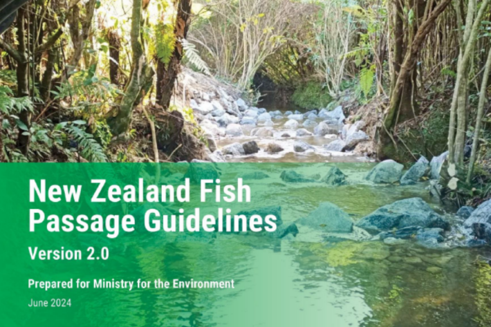
New Zealand Fish Passage Guidelines
Recommended standards for the design and restoration of instream infrastructure to provide for fish passage -

Understanding fish passage - FAQs
See our frequently asked questions about Fish Passage -
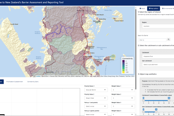
Fish Passage Barrier Assessment Reporting Tool (BART)
Software Tool/ResourceAn interactive webtool to support barrier prioritisation and fish passage environmental reporting. -

Guidelines for monitoring fish passage success
A manual detailing evidence-based methods suitable for evaluating the effectiveness of fish passage solutions. -
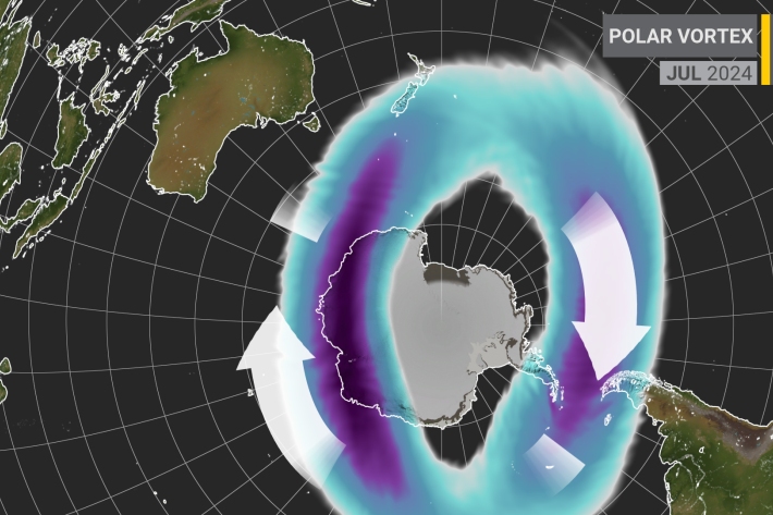
The rare event driving the Southern Hemisphere’s weather
Media release02 August 2024An unusual disturbance high above Antarctica is causing polar air to encroach on different parts of the Southern Hemisphere, including New Zealand. -
The Bio-Acoustic Fish Fence
Research ProjectInvestigating the effectiveness of an acoustic bubble-screen in minimising the movement of pest fish -

Unprecedented ocean change may impact key NZ fisheries
News article30 July 2024NIWA scientists have seen substantial changes in the ocean to the east of New Zealand -
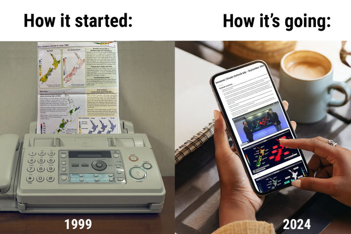
NIWA's Silver Climate Jubilee: Celebrating 25 Years of Seasonal Forecasting
Media release12 July 2024July 2024 marks a special anniversary for NIWA - 25 years of issuing our Seasonal Climate Outlook. -
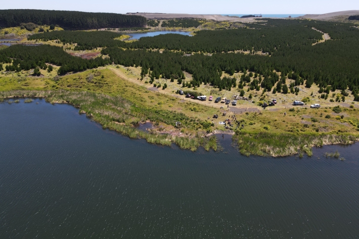
Ngaa taonga tuku iho o ngaa roto o Tahaaroa
Research ProjectDeveloping the monitoring and evaluation approaches that respond to the hauanga kai aspirations of Ngaati Mahuta