RV Tangaroa voyage update
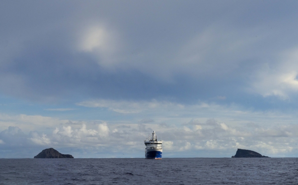
Our team on board Tangaroa continues to survey around the Hunga Tonga - Hunga Ha’apai volcano (HT-HH), to study the changes caused by the January 15th eruption.
22 April 2022
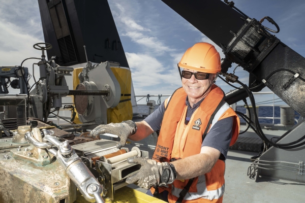
Around 8 a.m., Tangaroa arrived at its next site located 70 km south-west of the HT-HH caldera. In 2,350 m of water, it is one of the sites used to measure the thickness and composition of the eruptive material deposited on the seafloor. At this depth, it takes about an hour to lower equipment to the seafloor before we can begin the sampling.
The first gear deployed was the CTD (Conductivity Temperature Depth profiler) with water sample rosette bottles. This was followed by the Deep Towed Imaging System (DTIS), capturing images of flat seabed composed of fine-sand and muddy material. Infrequent burrows, tracks, and several fish were observed, including a rattail.
We then successfully took samples of the seafloor, retrieving 11 cores of coarse black ashy sand. These will be used to identify the order of the eruptive material, giving us a history of the eruption. We will also be doing biogeochemical analysis and look at the types of animals living in the mud.
Overnight, Tangaroa then moved closer to HT-HH while mapping the seafloor with the multibeam, reaching our next site 50 km south-west of the caldera at a depth of 1,830 m. The DTIS was deployed and showed flat muddy substrate with smoothed ripples and the occasional pebble-sized detritus with a few small bedrock patches. Faunal numbers were very low with just a few shrimps and fish observed.
Upon the retrieval of DTIS, the Tangaroa proceeded to use the multibeam to map to seafloor on the southern flank of HT-HH, before moving back to the caldera area for a glider deployment.


