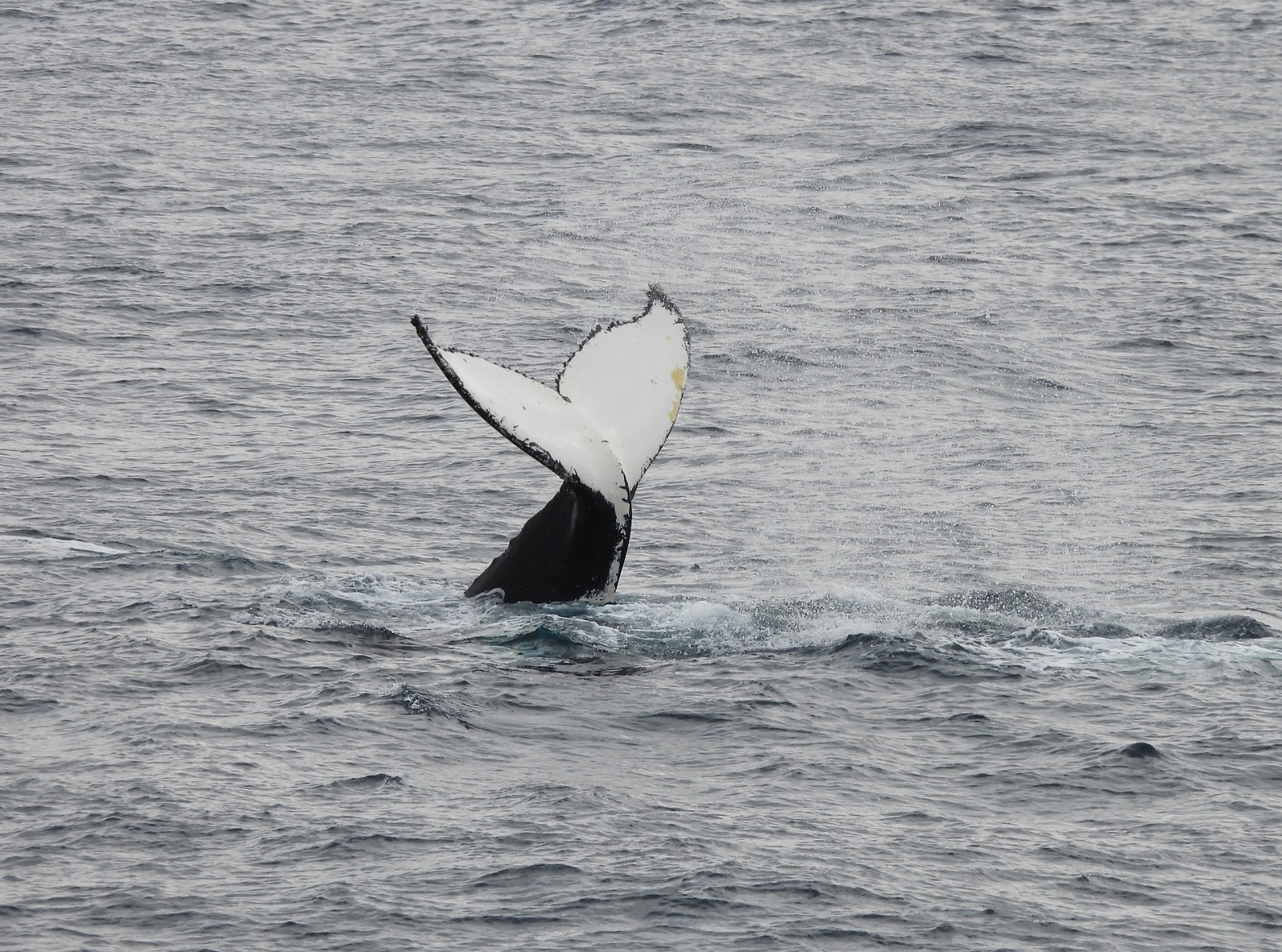
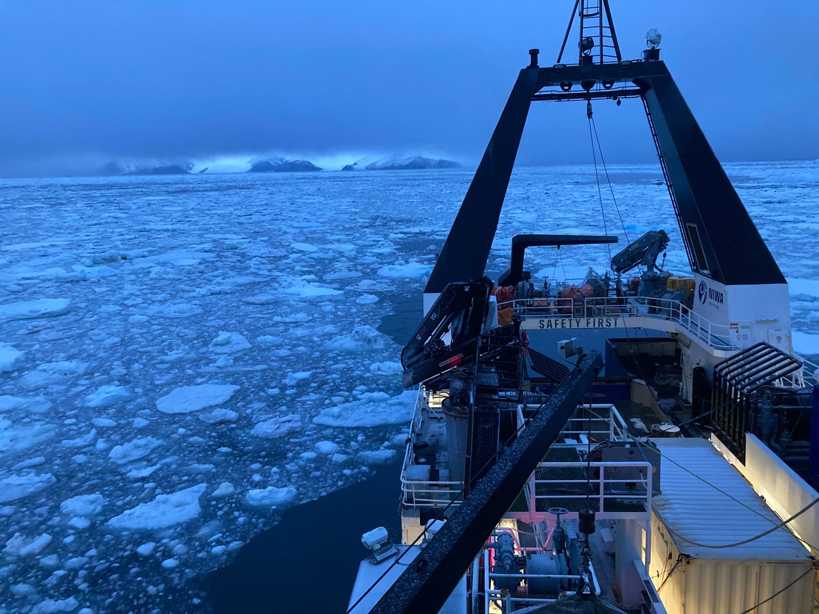
Aboard Tangaroa over the last couple of days we’ve been recovering and redeploying ocean monitoring instruments as part of a global effort, but more on that later. It has meant we’ve kept a very close eye on the weather forecast, and the sea ice conditions, to find time windows that would work with the team on-board, whilst maximising other sampling. With a bit of zig-zagging we managed to recover and redeploy the instruments smoothly.
If you look at a bathymetry chart of the Ross Sea continental shelf, it appears like a giant bear has clawed away at the seafloor. The complex coming and goings of the ice sheet in the region over the last several thousand years has resulted in a number of north-south gouges. So, in the present day, we find a sequence of several, long, north-south troughs that act as passageways for water movement.
At the moment these passageways are important for two reasons. We know that cold, salty water, formed in polynyas, flows along the troughs to the open ocean - serving to oxygenate the oceans. There is evidence that the net oxygenating effect of this is changing rapidly. At the same time, we have hints that warm water to the north, sitting several hundred metres beneath the ocean surface, can, in places, be seen moving southward - also along these troughs, towards the Ross Ice Shelf itself. The ice is highly vulnerable to melting if this effect increases.
Understanding how these flows are changing with the last few decades of planetary warming is important. However, it is also of interest to consider how the system behaved in previous geological times when atmospheric concentrations of CO2 were along the lines of our present emissions trajectory. While it is not easy to bring together these two perspectives, we’ve embraced this in the ASP, so it's been something that I and ASP co-PI Dr Christina Riesselman (University of Otago) have guided our project team to look for linkages with processes ranging from tidal timescales (~24hr) to paleoclimate records going back 100 thousand years or more.
Measuring what is going on in these troughs now is important and is why New Zealand and collaborators have been trying to quantify the system. University of Auckland Associate Professor Melissa Bowen has been analysing these fluxes for close on a decade now, presently as part of the Antarctic Science Platform – and before that with the Deep South National Science Challenge. She’s found the tides are a large factor in controlling the flow along the troughs, as well as identifying hints as to how flows move north and south along the troughs simultaneously.
In the same way we have an international team on board working on benthic sampling, we have a network off the ship equally invested in our progress. Along with our own efforts, teams from the Korean Polar Research Institute, Lamont Doherty Earth Observatory in the U.S., the University of Southampton in the U.K. and the Italian Moresea programme, have all come together to contribute in various ways – with ship-time, instruments, or data analysis. That there is so much international focus on this one region gives you a clear sense of its importance - this single modest channel has global implications.
International research interest in the region is growing, not only from a climate perspective, but also the Ross Sea Marine Protected Area is a major stakeholder in the lessons from by this network and there are a growing number of requests reaching us to see how biological outcomes can be linked to this underpinning description of the system.
Of course, synthesizing such an observational network is not straightforward. Co-voyage leader Dr Denise Fernandez has been leading a process to design such a system that enables components to come and go as various funding streams and science priorities evolve. The next phase of the Antarctic Science Platform, starting later this year, will build upon this approach.
As we recover and redeploy, we play our part in the network. The gear over the last couple of days is a mix of precision, calibrated temperature and salinity sensors, as well as current meters and oxygen sensors – maintained by NIWA and the University of Auckland.
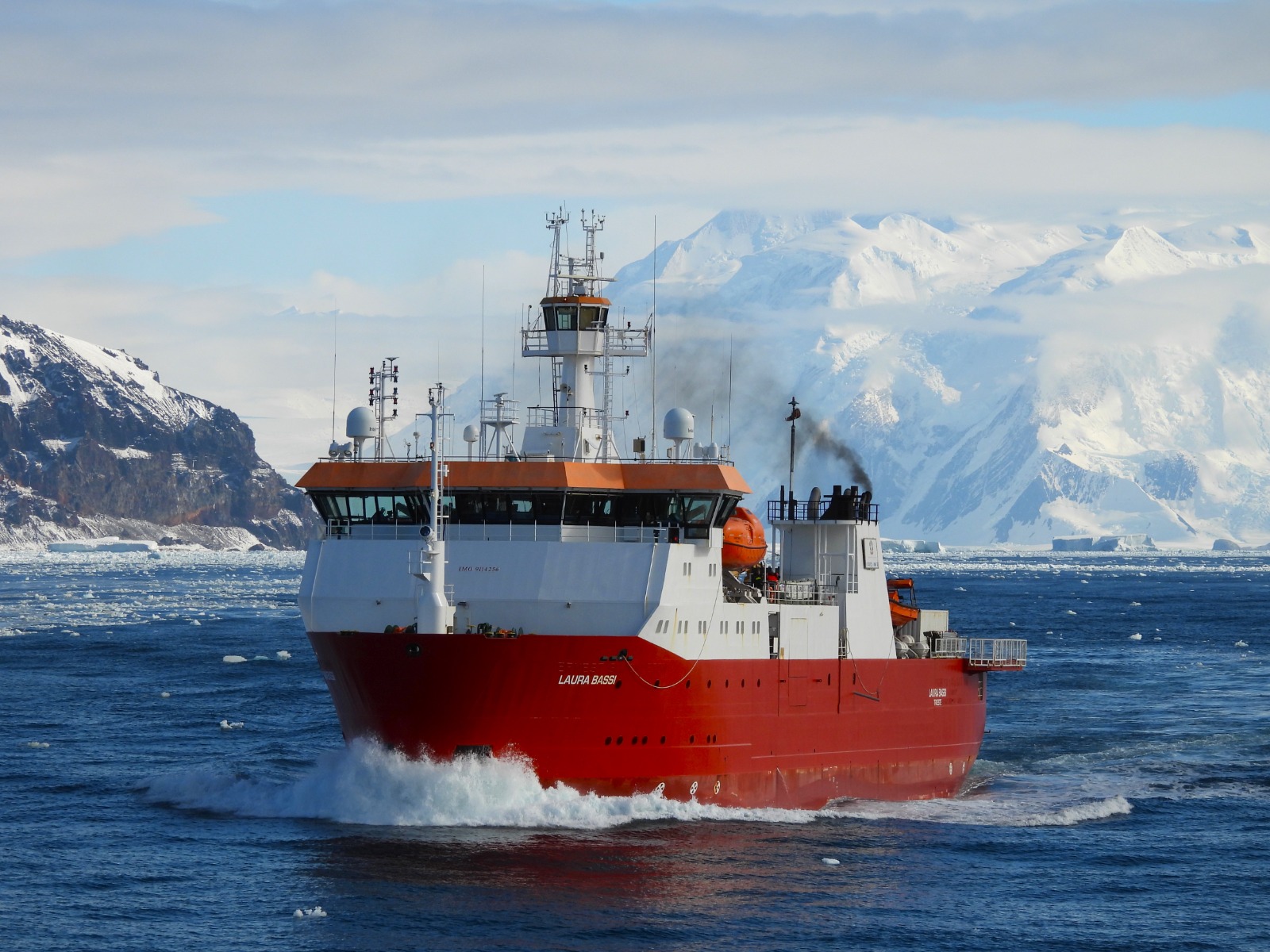
This forms part of a de-centralised ocean observation system contribution that the Antarctic Science Platform has enabled, primarily with NIWA equipment plus some gear from Universities and the ASP itself. The activity involves working with international colleagues to complement and share activities where we can. Just this season alone, the Korean Araon icebreaker deployed NZ instruments, Tangaroa deployed gear for US colleagues, the Italian ice breaker Laura Bassi is deploying moorings for us, and one of our research team will join the Chinese Xue Long Two icebreaker that will survey the region in March as sea ice reforms. All this makes clear that Tangaroa’s efforts bring far more than just the data from the activity of the last month, but also it is a thread in an interweaving set of international research priorities.
While the mooring operations proceeded in a very controlled fashion, I was having to keep my best poker-face and not ask for everyone to hurry up as we knew a short, sharp southerly wind event was on its way. As the ship headed for Cape Adare and the shelter of Robertson Bay with the rising southerly behind, we look to see the state of sea ice at its entrance and if we can squeeze by to ride out the weather – and sample – near the largest Adelie penguin colony on the planet.
-Craig Stevens (co Voyage lead with Denise Fernandez).