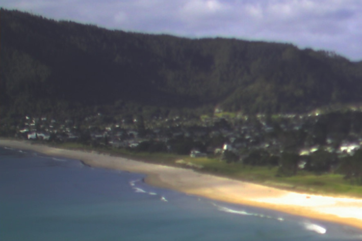
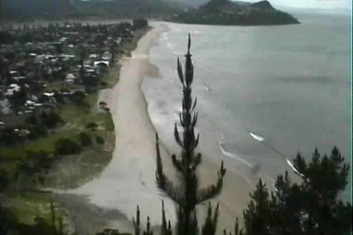
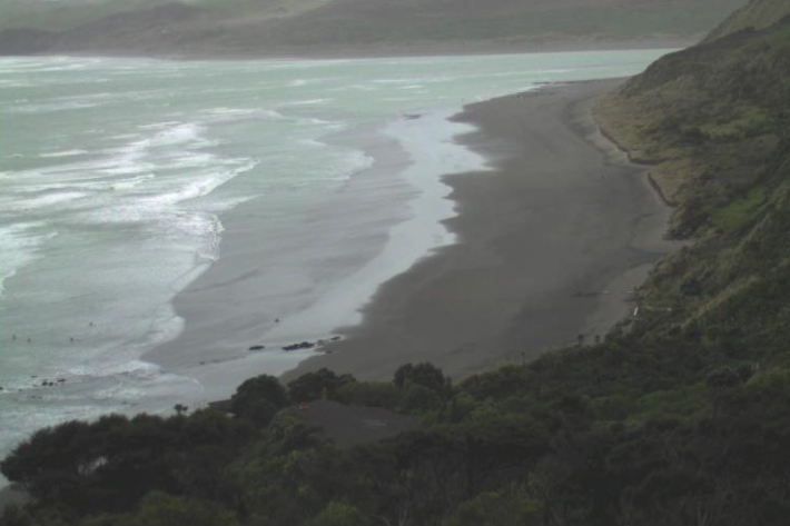
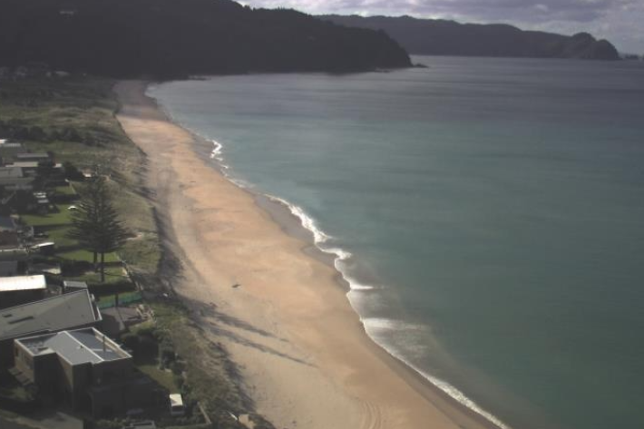
Cam-Era images help beach users to recognise dangerous surf conditions such as high waves and the location of rip currents. More information is available from Water Safety New Zealand.
Each hour, cameras spread throughout Waikato beaches automatically capture images which are archived for research purposes and made available for your use.
This project began in August 1997.
Computer-controlled video cameras monitor the environment (for data collection and research) while simultaneously providing images for beach-goers, such as surfers and swimmers.
Service type: Observational / Raw Data
Contact
If you have any comments or queries you’d like to make about Cam-era, please contact the Cam-era team.
Cam-era
-
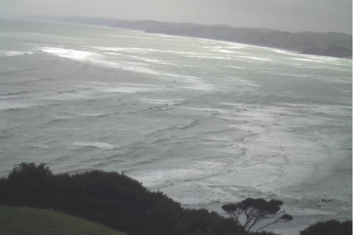
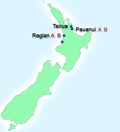
Raglan A
This web camera is available thanks to the support of Waikato Regional Council.