MenuMain navigation

End of Summer Snowline Survey

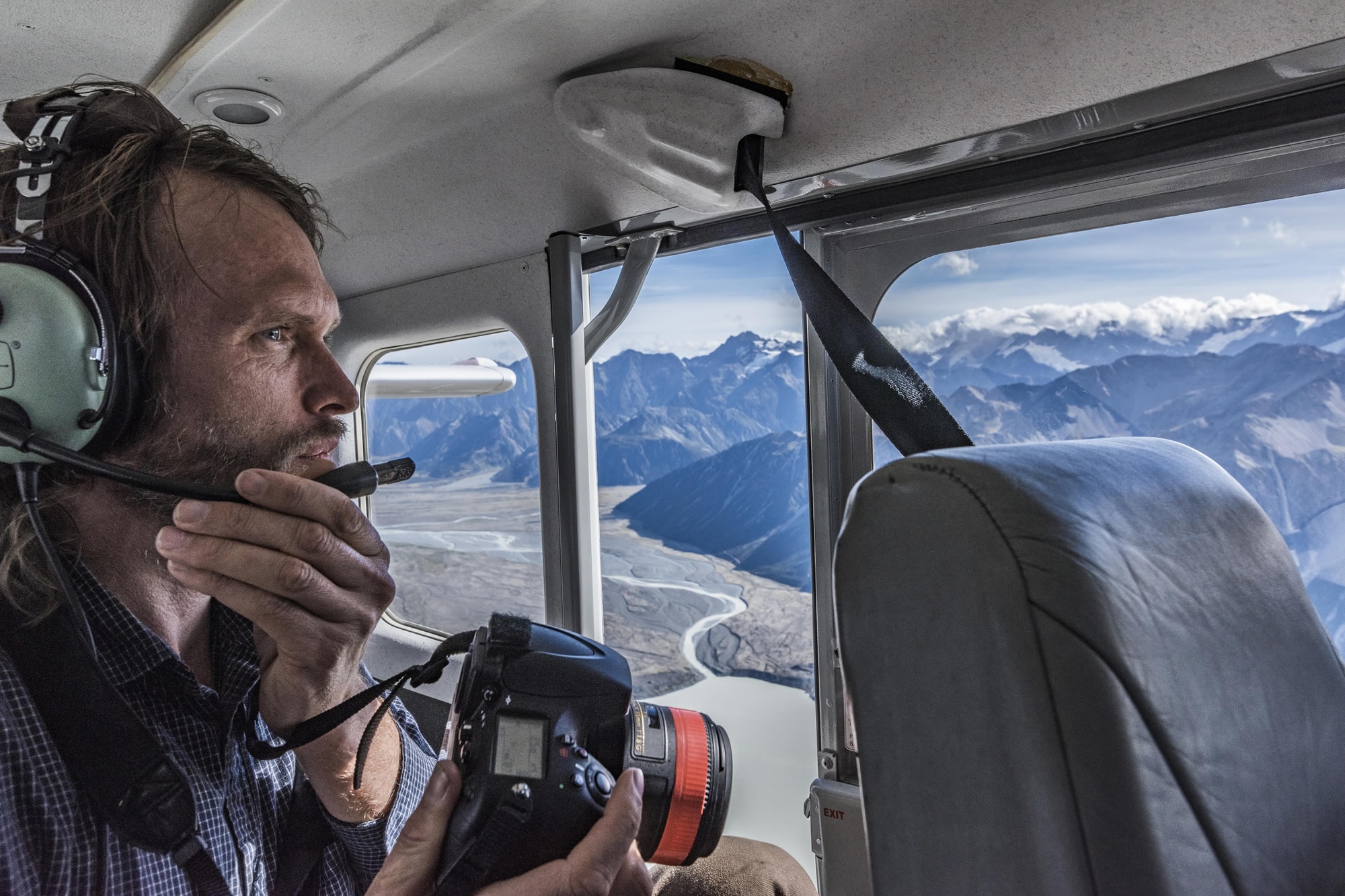
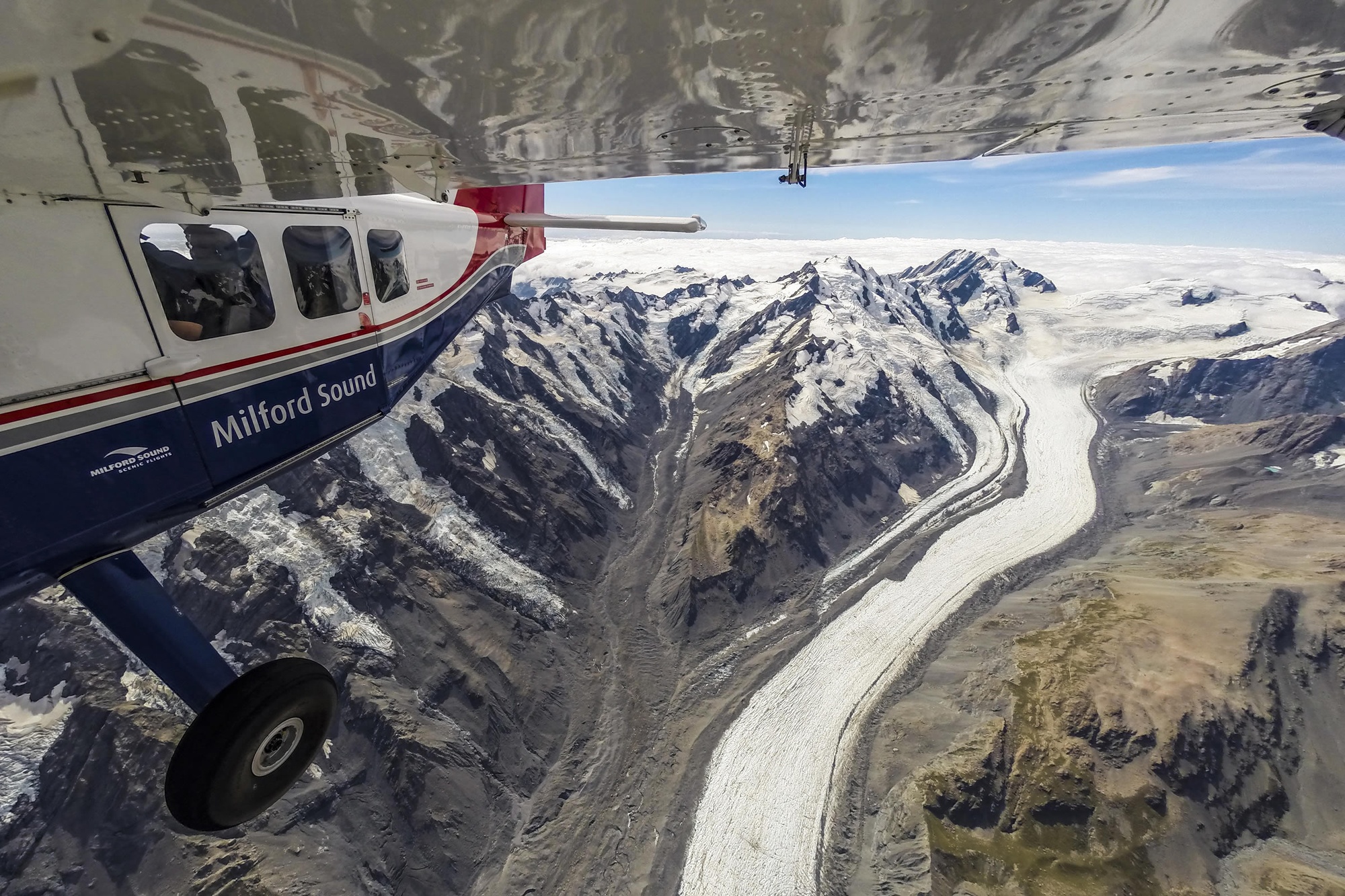
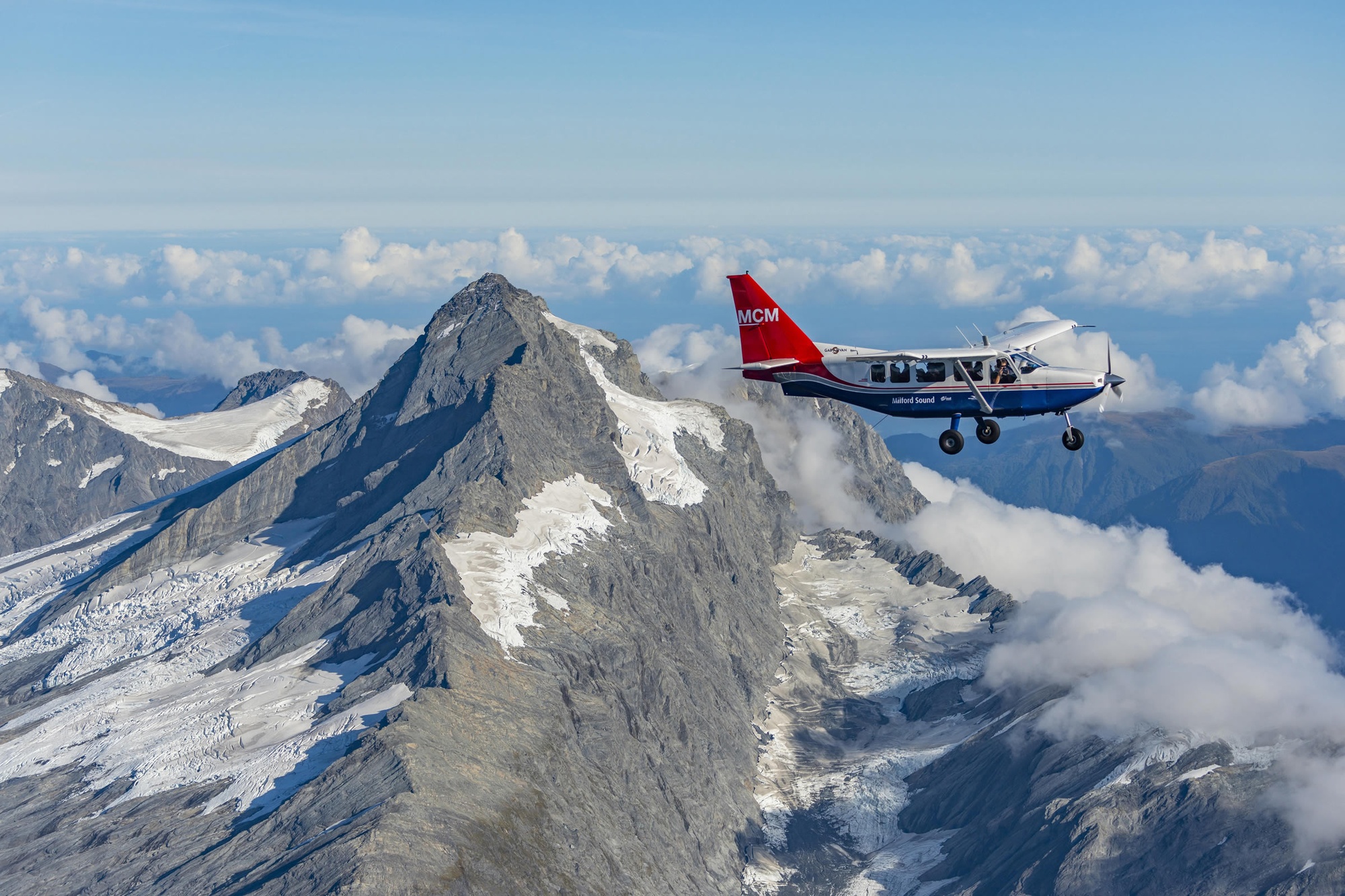
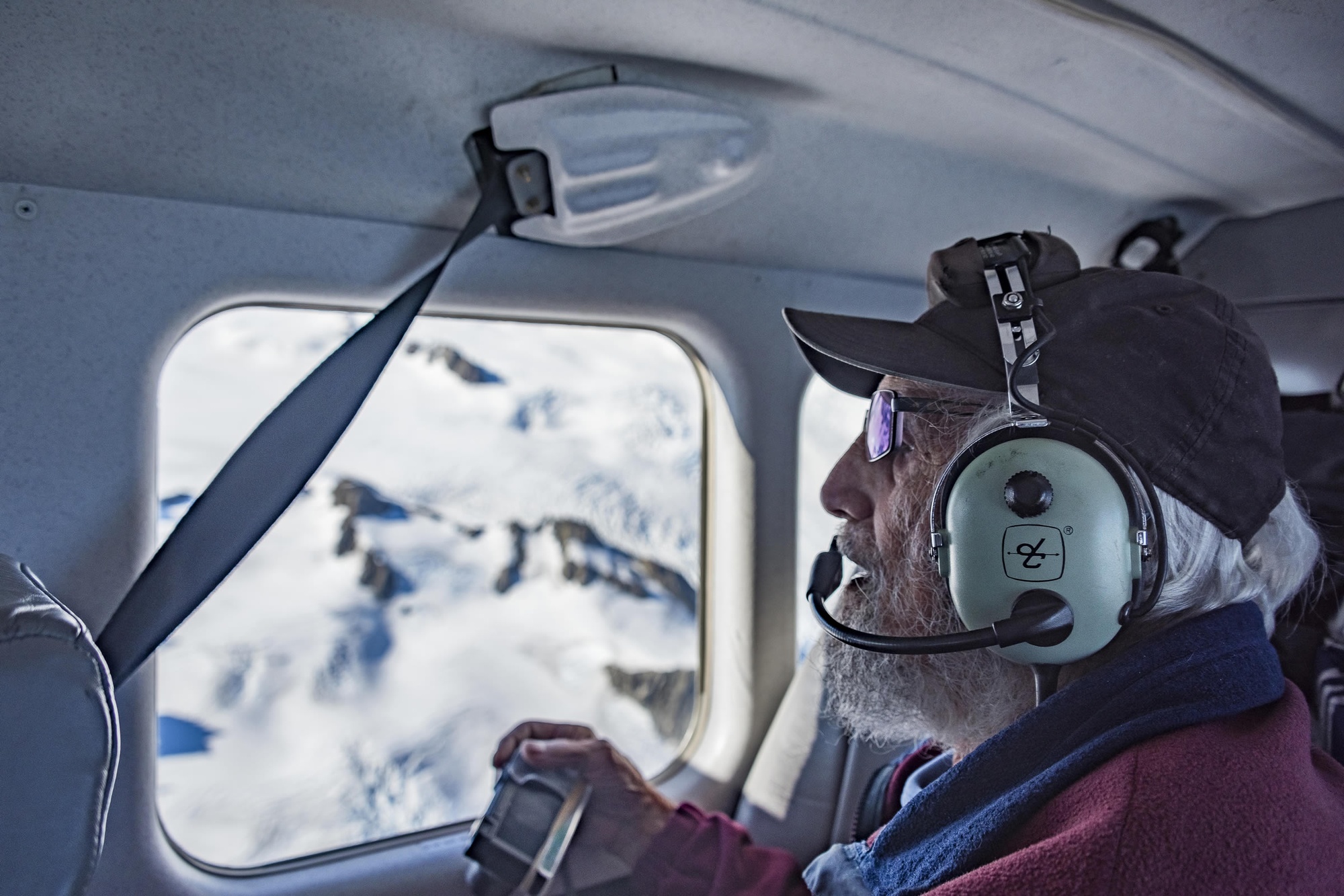
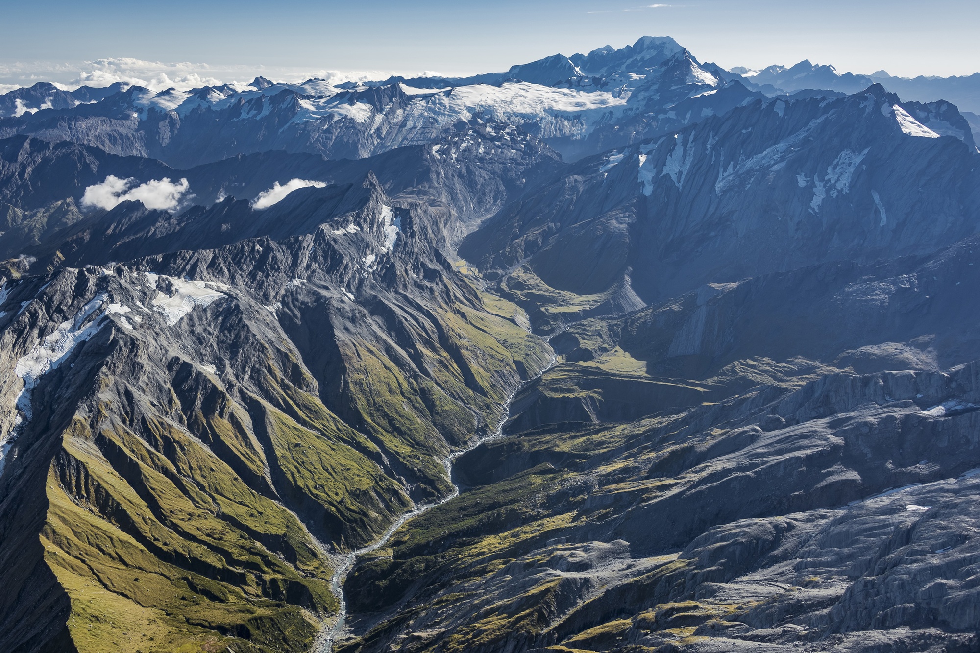
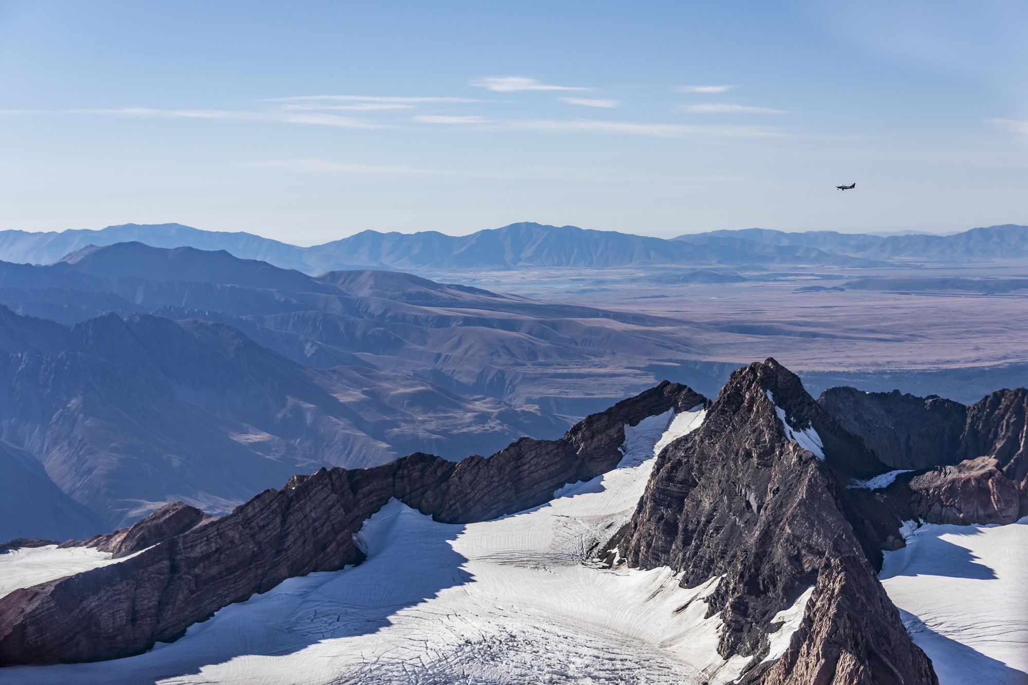
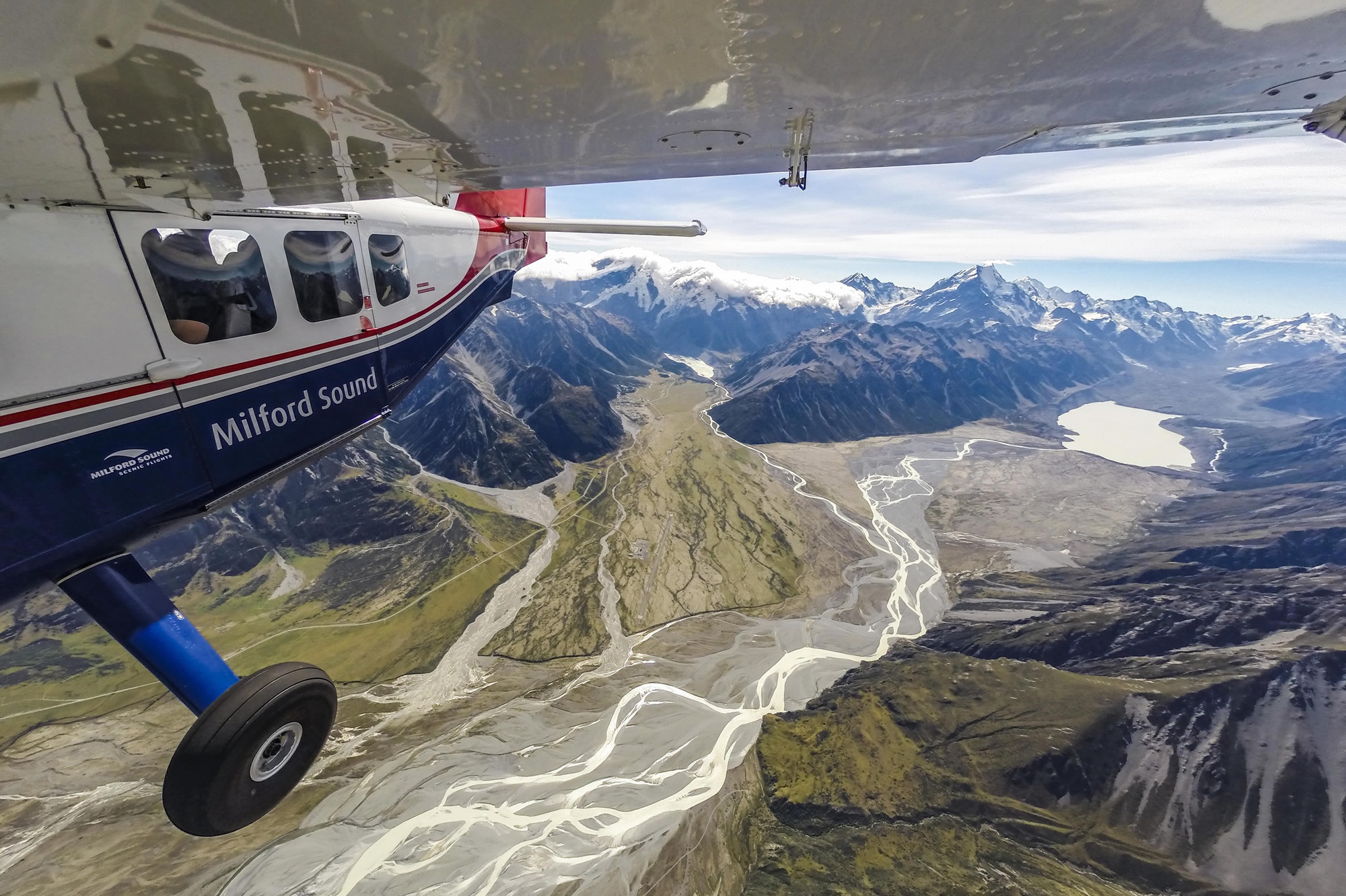
NIWA has carried out aerial surveys of over 50 of the South Island’s glaciers every year for more than four decades.

The surveys record the snowline on the glaciers at the end of each summer and provide a time line of glacier-climate interaction stretching back to 1977.

Look at the results of the 2018 survey – carried out after New Zealand's warmest summer on record.

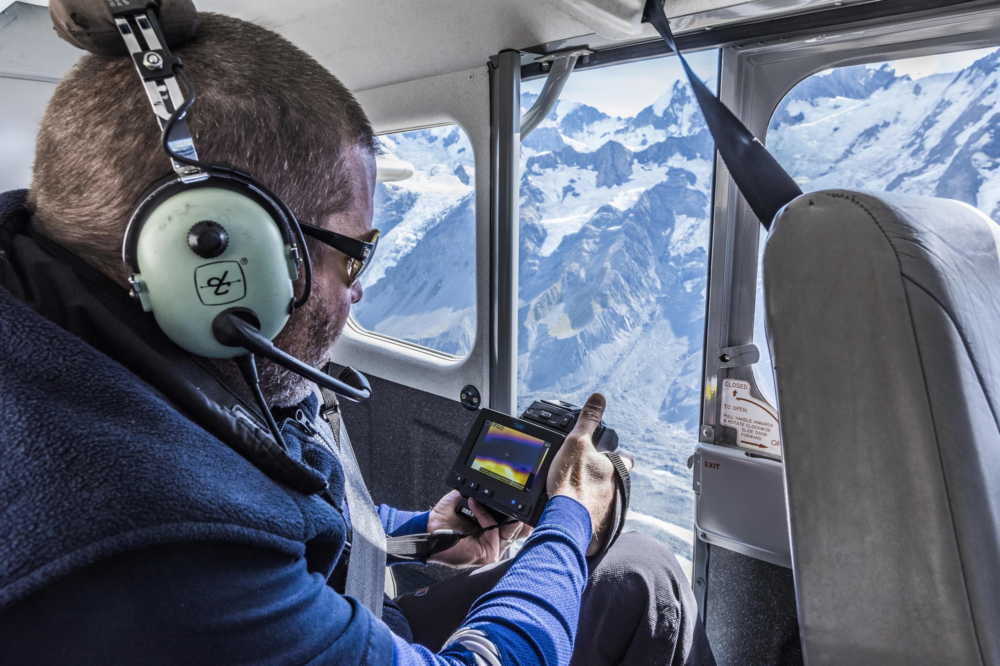
The surveys are carried out by hand-held oblique photography taken from light aircraft. Both the absolute and relative positions of the snowlines are recorded.

1 / 13

High above one of New Zealand's most famous glaciers - The Tasman. Since 1990 the ice has retreated an average of 180 metres per year. Tasman Lake at the terminus of the glacier is a result of the glacier's decline, before 1973 it did not exist. [Photo: Dave Allen]

2 / 13

The images will be used to create three dimensional models so scientists can precisely measure changes to the glaciers over time. 'Once these glaciers have gone we're not going to be able to capture these images again - it's an archive for the future.' Dr Brian Anderson of Victoria University. [Photo: Dave Allen]

3 / 13

The survey team includes pilot Andy Woods from Milford Sound Flights, whose experience flying in the area is invaluable. It's not all blue skies and calm winds - turbulence and cloud cover occasionally create a challenging environment to navigate. [Photo: Hamish McCormick]

4 / 13

Safely harnessed into position, NIWA's Dr Andrew Lorrey points an FLIR T640 infrared camera out of the open cabin door towards the Tasman Glacier to gather thermal data for the glacier ice, meltwater and the debris cover. [Photo: Dave Allen]

5 / 13

Aoraki Mt Cook with Lake Pukaki in the distance. [Photo: Dave Allen]

6 / 13

Dr Trevor Chinn has been documenting and mapping all of New Zealand's glaciers since the 1970s. He says the 2018 summer melt back is phenomenal and this year is the worst he's ever seen. Trevor estimates one third of the Southern Alps ice volume has disappeared between 1977 and 2018. [Photo: Dave Allen]

7 / 13

A changing landscape - cold monotones of high mountain ranges give way to warmer greens in Mount Aspiring National Park. [Photo: Dave Allen]

8 / 13

The Arawhata river winds its way from Mount Aspiring National Park towards Jackson Bay on the west coast of the South Island. Glacial silt suspended in the water gives the Arawhata, and many other rivers in the area, its distinctive turquoise blue colour. [Photo: Dave Allen]

9 / 13

Every year since 1977 scientists have been flying above New Zealand's glaciers to document changes in snow cover and ice extent. The summer of 2018 was one of the warmest ever recorded and it had an serious impact on the health of the glaciers. [Photo: Dave Allen]

10 / 13

Dr Huw Horgan of Victoria University with his camera trained on the upper reaches of Fox Glacier. The Fox is fed by four alpine glaciers and falls steeply to 300 metres above sea level. Since the 1970s it has fluctuated, but between 2009 and 2018 it has made a dramatic retreat. [Photo: Dave Allen]

11 / 13

Like an endangered species, many of New Zealand's glaciers are no longer easily accessible and several are on track to disappear completely in the coming years. [Photo: Dave Allen]

12 / 13

Melt water swiftly flows down the Tasman River towards Lake Pukaki. Water from this river is used for hydroelectric power generation, irrigation and recreation. What happens when the contribution from seasonal snow and ice melt changes in a warmer world? [Photo: Dave Allen]

13 / 13

The end of summer snow line survey team from NIWA, Victoria University, Alpine and Polar Processes Consultancy, and Milford Sound Flights. Left to right - Dr Huw Horgan, Dr Brian Anderson, Lauren Vargo, Dr Andrew Lorrey, Andy Woods and Dr Trevor Chinn. [Photo: Dave Allen]


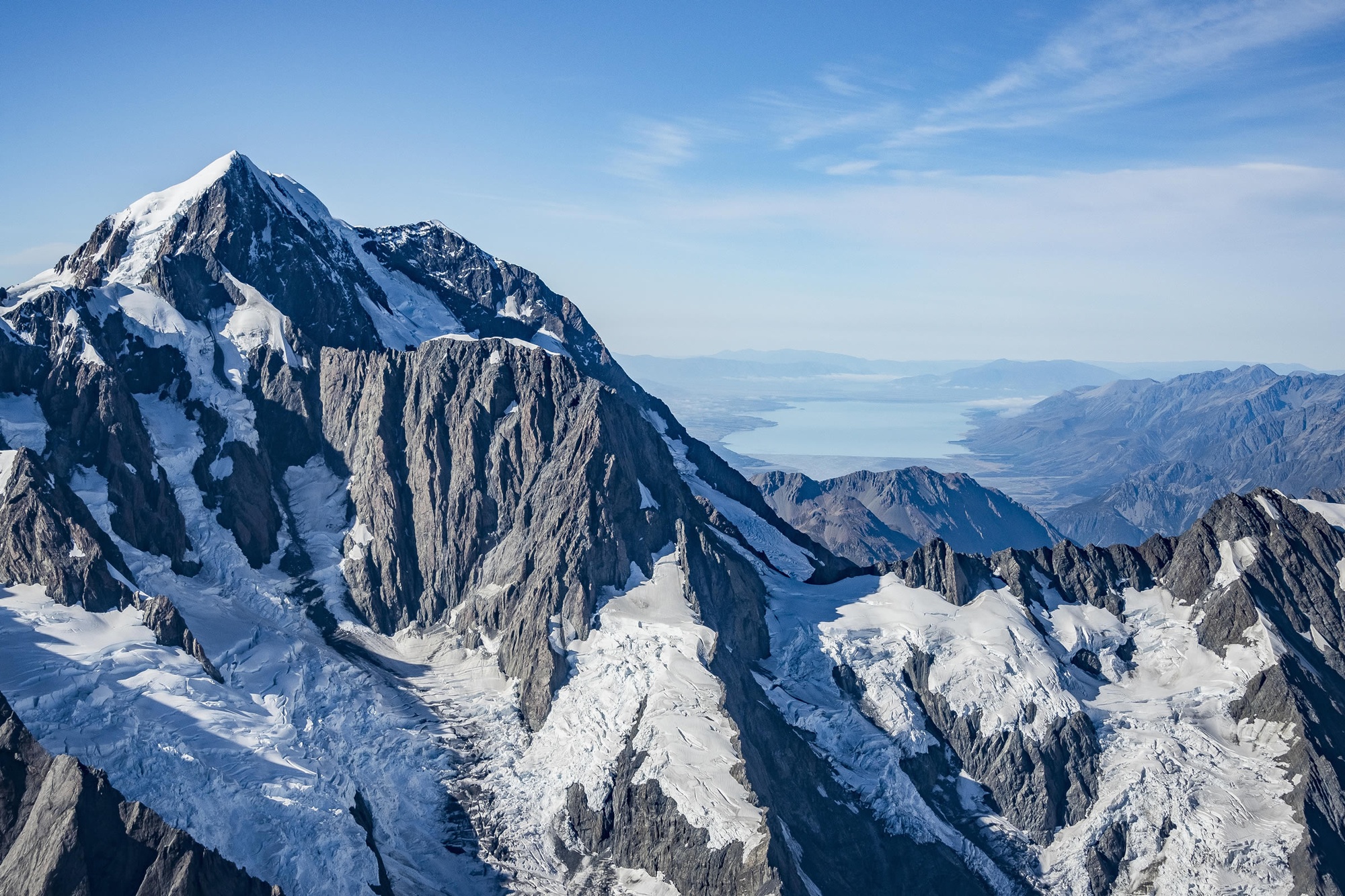
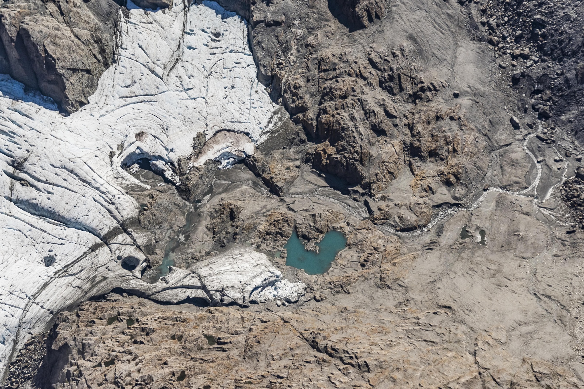
Glacier snowline altitudes, also known as Equilibrium Line Altitudes or ELAs, provide a direct value for annual glacier health.

They tell how much of the previous winter’s snow remains at the end of summer to contribute to long-term glacial ice. The higher the ELA, the less winter snow remaining, indicating the glacier has decreased in size. If the ELA is lower, a larger amount of winter snow remains and the glacier has increased in size (Willsman et al., 2015).

For more information on the End of Summer Snowline Survey see the Snow and Ice Research Group webpage.

Recent Summer Snowline Survey work


NZ snowline shrinks

New Zealand’s glaciers have all retreated and lost volume since NIWA started surveying them in 1977.

Scientists measure glaciers after record-beating summer

Climate scientists and glaciologists are taking to the skies this week to find out how New Zealand’s glaciers are faring following this summer’s record-breaking warmth.