NIWA is the primary source in New Zealand for information, data and advice about New Zealand's climate – past, present and future. Our goal is to help all sectors of society maximise the opportunities and minimise the risks associated with present and future climate.
Many of our services are of significant value to the primary sector:
Climate data and statistics
We provide the following.
- Web access, via DataHub, to past or present data from any station in the New Zealand climate and rainfall networks.
- Web access to a Virtual Climate Station Network (VCSN), which provides daily estimates of most climate parameters at all points on a 5km grid covering New Zealand
More about the Virtual Climate Station Network (VCSN)
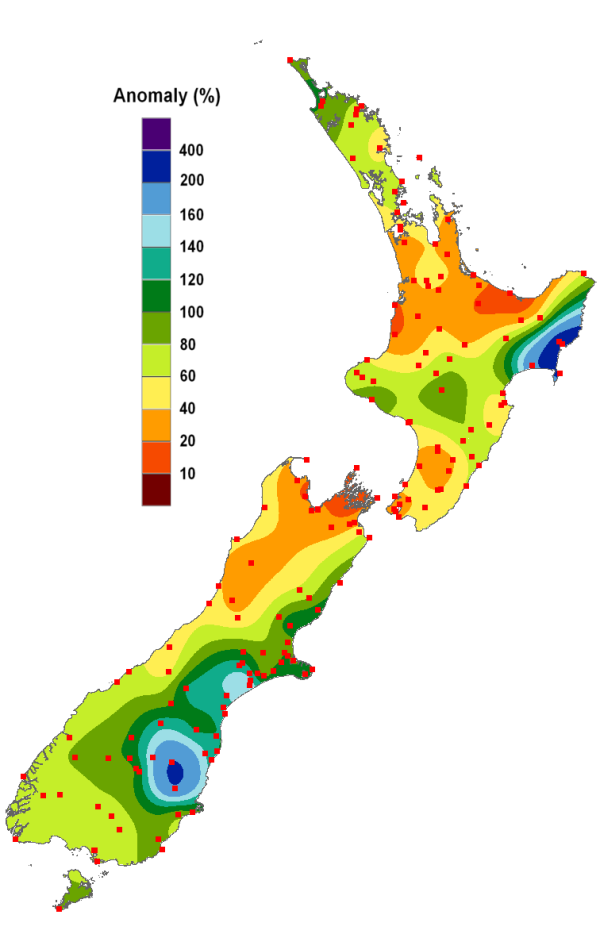
- Up-to-date maps and graphs of temperature, rainfall, soil moisture, growing-degree days, and their differences from long-term climate norms and recent years. These can show national, regional or location-specific data, and are delivered through EcoConnect.
Derived information
We can deliver information such as pasture growth indices, water availability and crop maturation as an integrated package via our forecasting tool, EcoConnect.
Guidance on land use
We collaborate with providers like LandCare Research to enhance the quality and detail of the information we can provide. We also can produce high-resolution maps of information such as one-in-five-year last frost dates and low rainfall totals, and deliver these via the web directly to you.
Outlooks
We can provide:
- extended-range (two weeks) and seasonal (three months) probabilities for rainfall, temperature and soil moisture – with comparisons to long term norms. These can be provided for VCSN locations or on a regional scale, and are delivered via our EcoConnect forecasting tool.
- extended-range and seasonal outlooks for derived information.
Tools
HIRDS is our high intensity rainfall design system, which can help you to plan and design drainage and other farm infrastructure which is likely to be affected by heavy rainfall events. HIRDS is freely available to the public.
We can also produce GIS maps of a range of climate parameters and projections on request.
Advice and information on adapting to regional climate
Our services include:
- scenarios relating to natural climate variability, such as El Niño and the Interdecadal Pacific Oscillation (IPO)
- climate change projections.
All of our services can be made available to help you manage climate-related risks affecting your business.


