-

Trace gas datasets - naming conventions and data formats
FacilityTrace gas datasets - naming conventions and data formats -

2013 - Kermadec Trench
News article17 January 2013Scientists set sail on NIWA's research vessel Kaharoa this week to film and explore many aspects of life in deep-sea habitats, and capture fish that are new to science, in the Kermadec Trench, northeast of New Zealand. -

Summer Series 4: Life in the (ex) stream - exploring New Zealand's fabulous freshwater fauna
News article15 January 2013Our freshwater fauna are wonderfully diverse and, according to NIWA Freshwater Ecologist Dr Richard Storey, there's nothing among them that we need to be afraid of. -

Tidal creeks – connections between freshwater and saltwater
Research ProjectAn experiment in Henderson Creek, Auckland, has demonstrated how tidal creeks variously import, export and deposit sediment, depending on the wind and freshwater runoff, and modulated by the tide. -

Summer Series 3: A mako shark named Carol
News article07 January 2013The mako shark is fast and fascinating. The shortfin mako, Isurus oxyrinchus, has been recorded swimming at speeds of about 100km/h. -

Summer Series 2: Get summer sorted with NIWA’s online summertime toolkit
News article04 January 2013Whether you're at the beach, in the bach, on the boat or by the barbecue, summer holiday fun hinges on knowing when conditions outside will be favourable and not-so-favourable for the activities you have in mind. -

Summer Series 1: Ready to rumble - the anatomy of a summer thunderstorm
News article03 January 2013 -

Summer Series 2013
This is a special series of stories put out to the media in the 2012/2013 summer. -

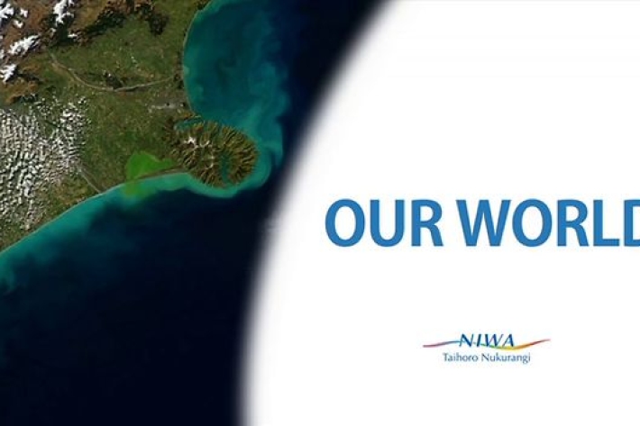
Our World
Compiled by NIWA from the United Nations report "Keeping Track of Our Changing Environment: From Rio to Rio+20 (1992-2012)". -

LakeSPI method summary
A summary of the LakeSPI method.

