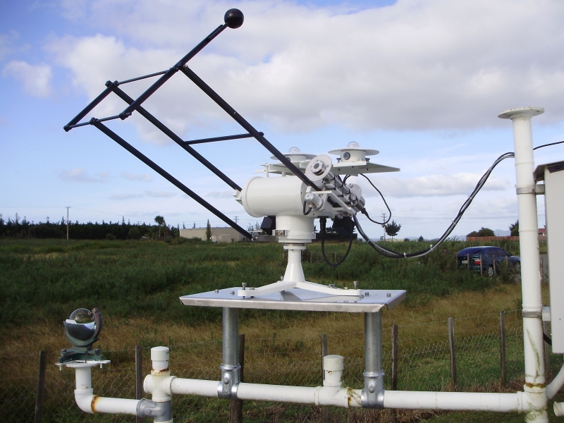
NIWA collects a vast range of environmental information about New Zealand’s environment from the sky, (remote sensing, upper atmosphere) to the seafloor (ocean geology, sea floor).
These observation operations are underpinned by NIWA’s instrument services, field services, lab services and support NIWA’s national monitoring networks.
NIWA instrument services
- Weather stations for various purposes.
- End-to-end water flow measurement and irrigation control systems including various sensor, logger, and actuator types.
- Water quality samplers and sensors.
- Electric fishing machines.
- Intelligent wave gauges.
Detailed list of NIWA's instrument systems
NIWA field services
- Experts in atmospheric monitoring and sampling (UV, Solar, greenhouse gases).
- Experts in hydrometric monitoring with ISO 9000 accreditation (water level, gauging, quality control)
- Experts in climate monitoring (climate stations, climate data quality control)
- Experts in sediment gauging
- Experts in water quality monitoring
- Fish screening
- Fish stock assessment
- Invertebrate sampling
- Benthic environments
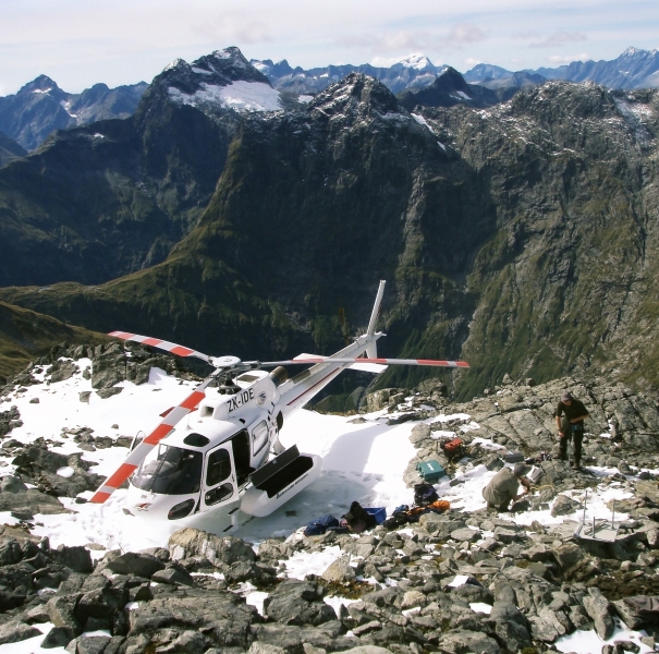
Nestled away in a quiet corner of Fiordland, a NIWA weather station quietly records local data on wind speed and direction, temperature, solar radiation, relative humidity, barometric pressure and rainfall and sends it via satellite to a web server. Watch the video to find out more about this NIWA weather station:
NIWA lab services
- Air quality and chemistry
- Water quality and chemistry
- Freshwater biodiversity and ecology (fish, invertebrates, algae)
- Marine biodiversity and ecology (fish, invertebrates, algae)
- Microbiology
- Pathology
- Radioactives
NIWA science expertise
- Various atmospheric monitoring, incl. greenhouse gas monitoring (ozone, CO2, methane, etc.)
- Climate and hydrometric (inc. soil moisture) monitoring
- Water quality monitoring: rivers, lakes, estuaries, beaches, oceans
- Irrigation monitoring and control systems
- Freshwater ecology and biology monitoring: fish (screening), invertebrates, macrophytes, algae, etc.
- Coastal monitoring: beach profiles, sedimentology, water quality, etc.
- Oceans monitoring: New Zealand’s research vessels, bathymetric surveys, moorings, buoy development and deployment.
- Marine fish monitoring: fish stock assessments, etc.
- Ocean floor monitoring: ocean geology, benthic environments, Invertebrates.


