RV Tangaroa voyage update
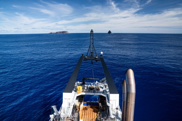
Tangaroa arrived at sunrise at its next site, located 40 km to the south-east of the Hunga Tonga - Hunga Ha’apai volcano (HT-HH).
27 April 2022
We are currently at the second of five sites used to measure the thickness and composition of ash on the seafloor following the January 15th eruption.
We started the day by examining the seafloor towards the main island of Tongatapu. As we got closer, the images from the seafloor clearly showed a layer of ash several centimetres thick overlaying the white bedrock of the main Tongan islands.
After surveying that area, Tangaroa then explored an unnamed volcanic seamount around 35 km south of HT-HH. In the science literature, this seamount is known as “Volcano 3” and is one of many, including HT-HH, that are part of the Tofua Volcanic Arc. This seamount is of interest because it is very similar to HT-HH in shape, depth, and size and would provide an insight on what HT-HH would’ve looked like in terms of the nature of the seafloor and the life around it before the latest eruption.
The images of “Volcano 3” are spectacular, with exposed submarine lava outcrops and a variety of marine life visible. We retrieved great samples of the rocks and example of the marine life from near the summit.
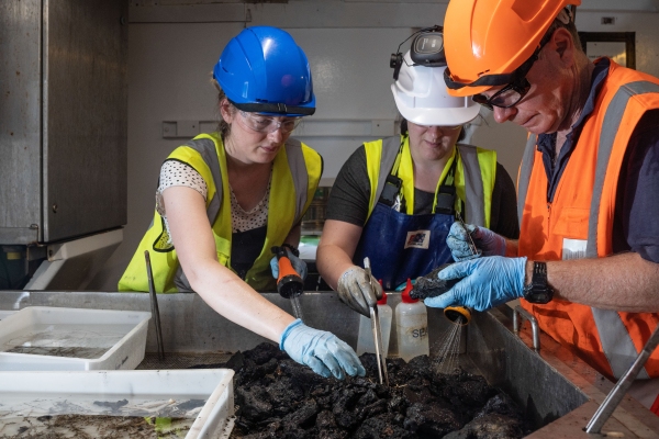
Later in the day, Tangaroa re-visited the valley through which the international communications cable ran, noting that the cable was broken along a 50 km length here by the Jan 15th eruption. Our first time here, on April 17th, showed a flat smooth seafloor covered in ash. At the time, the multibeam echosounder detected some subtle sediment waves in the valley near the base of “Volcano 3”. We deployed two multicorers at this site to sample the seafloor to see if the sediment waves are from material that either erupted from HT-HH on Jan 15th, are from an earlier eruption of HT-HH, or are actually from another nearby volcano.
The Tangaroa has now just arrived at the next site, located 25 km to the south-west of HT-HH. We will continue to sample more sites at increasing distances away from HT-HH to map the ash thickness and composition.


