Last year the NIWA atmosphere-ocean scientist was awarded $11.4 million from MBIE’s prestigious Endeavour Fund to develop CarbonWatchNZ.
This ambitious programme aims to build the world’s first complete national-scale picture of a country’s carbon balance based on measurements of greenhouse gases in the atmosphere.
This is precisely the sort of detailed information policy makers urgently require if New Zealand is to meet its goal of being carbon neutral by 2050.
The programme has already prompted the United Nations World Meteorological Organization to highlight New Zealand as an “exemplar” country, providing a template for other nations to follow for their own carbon reporting.
Looking down from above
“Traditionally, greenhouse gas emissions and uptake have been estimated using methods we think of as bottom-up,” Mikaloff-Fletcher explains.
Carbon dioxide (CO2) emissions from transport, for example, are currently calculated from estimates based on the amount of fuel burnt by New Zealand vehicles.
Forest carbon uptake is estimated by measuring changes in the circumference of trees in a number of set locations. This is combined with forest height and land cover information and scaled up across the country.
“In comparison, CarbonWatchNZ will give us a bird’s-eye view of our carbon emissions and uptake,” says Mikaloff-Fletcher.
The project involves measuring CO2 and methane (CH4) in the air above New Zealand at a network of sites around the country.
By combining these atmospheric measurements with information about winds and air movement over our cities, forests and farmlands, CarbonWatchNZ will measure the greenhouse gases we are emitting and how much carbon our landscapes absorb.
When these “top down” atmospheric observations are added to existing estimates from the ground up, New Zealand will be able to build the world’s first complete picture of a country’s carbon profile.

The lucky country
Mikaloff-Fletcher says New Zealand has “three unfair advantages” that make it the ideal place to perfect this approach.
Firstly, the air travelling across the oceans to New Zealand has not been in contact with land for days. Unlike most countries, changes in the amount of CO2 or CH4 as the air passes over New Zealand can be clearly identified and sourced.
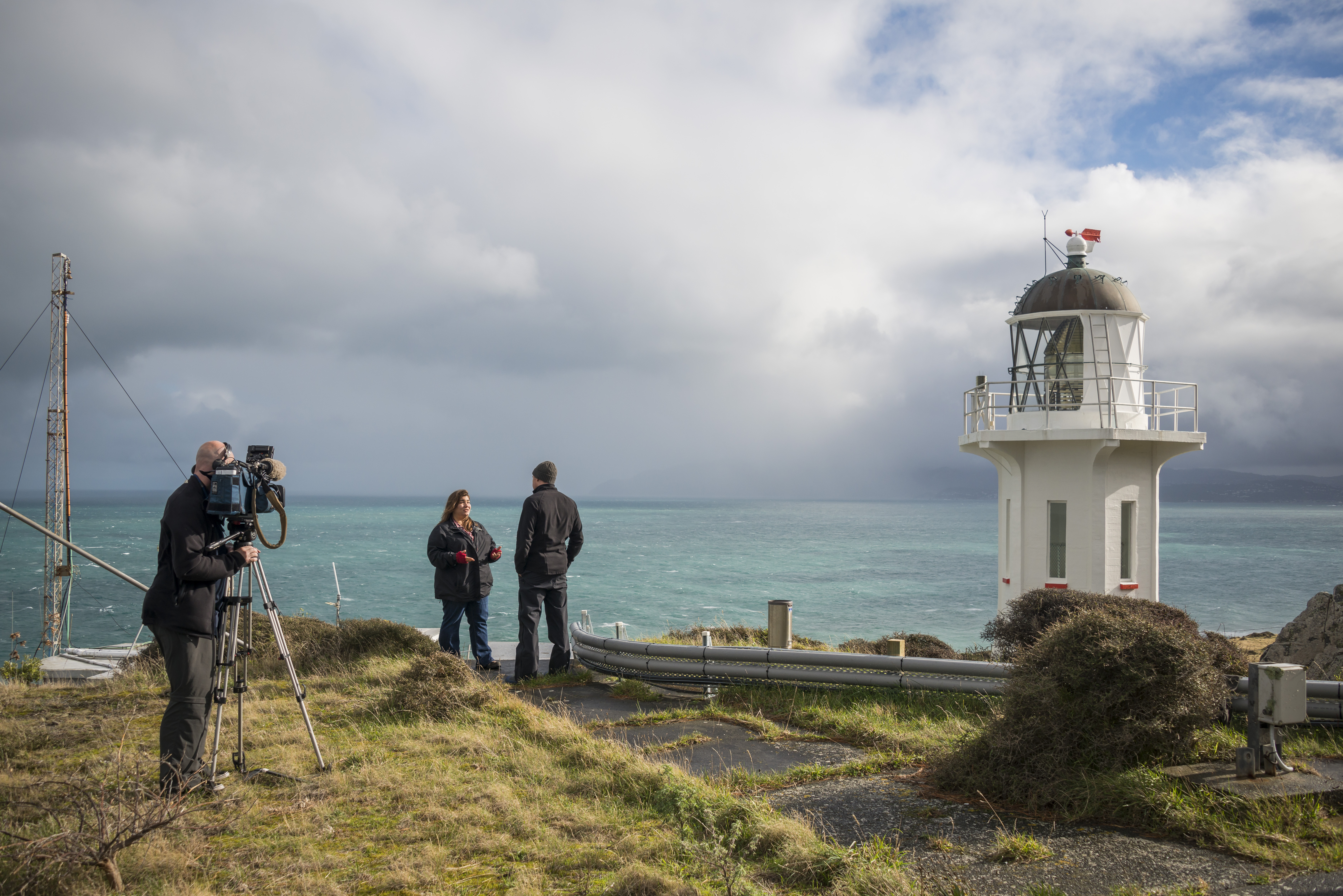
Secondly, NIWA already has an internationally renowned network of atmospheric monitoring stations: Baring Head at the bottom of the North Island, Lauder in Central Otago and Maunga Kakaramea near Rotorua. The datasets from these include some of the longest running greenhouse gas measurements in the southern hemisphere.
Thirdly, NIWA’s high resolution weather forecasting capabilities mean researchers can accurately model wind flow and clearly track the path of greenhouse gases across the country.
Equally, atmospheric measurements across Auckland will help decision makers monitor the effectiveness of steps taken to reduce urban emissions. Changes in CO2 concentrations above the city will directly reflect the impact of tree planting programmes or steps to cut vehicle numbers on city motorways.
Methane is a highly significant greenhouse gas in New Zealand due to our reliance on agriculture.
“Our government has invested heavily in reducing methane emissions from agriculture by food additives, vaccines and other interventions. It’s easy to see how well these things may work in a lab, but it’s much more complicated to know whether they work in real life. Our atmospheric measurements will help answer this question.”
Mikaloff-Fletcher is clear about the value of CarbonWatchNZ.
“The current best estimate is that 30 percent of all of the greenhouse gases we emit in New Zealand are offset by forests and other land use. The aim of this project is to get a better handle on our true carbon emissions and uptake. It will give us a clearer idea of what we can do to meet our long-term goal of being carbon neutral.”
Guiding decision making
CarbonWatchNZ is looking at the four landscapes that are most important to New Zealand’s carbon balance—our indigenous and exotic forests, our farmland and our cities.
By adding new monitoring stations at key sites such as Fiordland, the central North Island, Canterbury and across Auckland, CarbonWatchNZ will be able to track greenhouse gas emissions and uptake across these four target landscapes.
The results will give us a detailed understanding of the carbon uptake rates of native compared with exotic forests in key locations. This information can then be used in decisions about land management and tree planting to offset our greenhouse gas emissions.