
-

Environmental monitoring
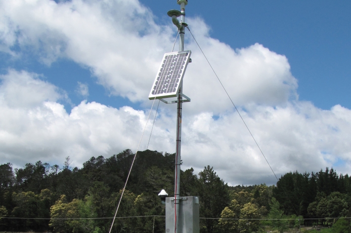
NIWA collects a vast range of environmental information about New Zealand’s environment from the sky to the seafloor. -

Map Sw North
Education ResourceBecause of its exposure to disturbed weather systems from the Tasman Sea, this climate zone is often quite windy, but has few climate extremes. -
NZ Drought indicator products and information
Drought is a common feature of New Zealand's climate. On average, every year or two somewhere in New Zealand experiences a drought. -
Climate and weather
Information about climate and weather and links to climate-related websites. -
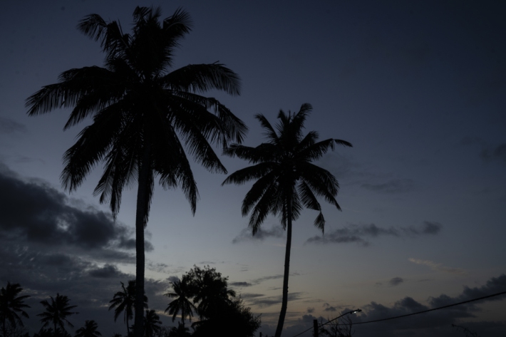
Island Climate Update
Publication seriesA monthly summary of the climate in the tropical South Pacific islands, with an outlook for the coming months. -
Climate summaries
Education ResourceIn this climate education resource, you can download this climate summary in a range of formats. -
Obtaining climate data from NIWA
NIWA maintains the national climate database for New Zealand, and can supply data in a variety of ways. -
Map W South
Education ResourceThe climate of this area is greatly dependent on its exposure to weather systems from the Tasman Sea and the lie of the Southern Alps to the east. -
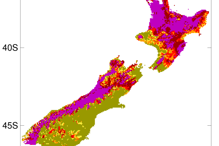
2012-2013 Drought
The 2012-2013 drought affected the entire North Island plus the west coast of the South Island. -
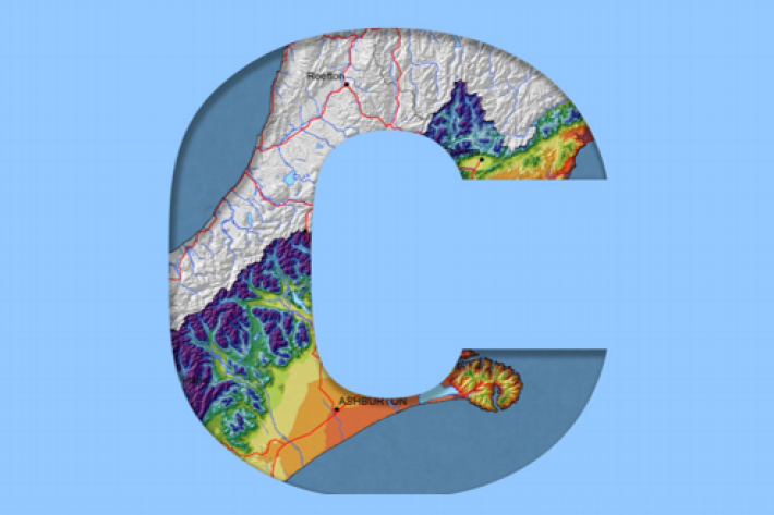
Canterbury
All aspects of the climate of Canterbury are dominated by the influence of the Southern Alps on the prevailing westerly airflows.