When Northland Regional Council (NRC) and Whangarei District Council (WDC) joined forces in 2011 to develop a wide-ranging strategy for improving water quality in Whangarei Harbour, they needed a reliable estimation of the contaminant load affecting the harbour, and an accurate analysis of where key contaminants were coming from.
“We needed to know which contaminants and catchment zones were really problematic in terms of harbour health,” explains NRC Policy Analyst Ben Tait. “That knowledge would enable us to target the right areas with our strategy, and take effective mitigating actions.”
NRC and WDC turned to scientists in NIWA’s Urban Aquatic Environments Group for help. Dr Annette Semadeni-Davies applied NIWA’s sophisticated contaminant load computer models to the task.
Highly valued
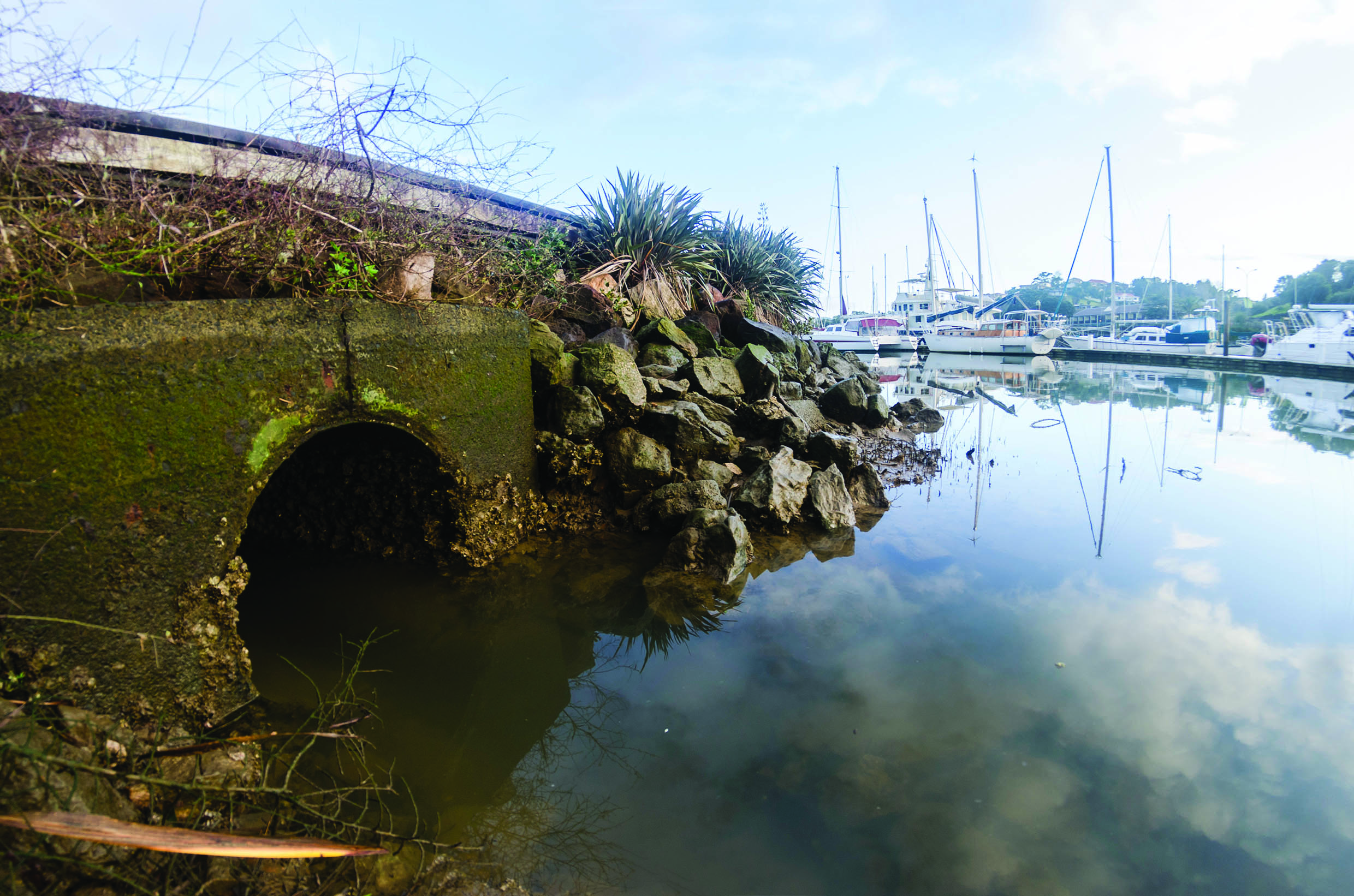
Whangarei Harbour is highly valued for the significant economic, environmental, recreational and cultural opportunities it offers to the people of Northland.
Local iwi source kai moana from the harbour’s sheltered coves and bays. The 105km2 body of water is an important nursery and feeding ground for commercial fish species, and supports a wide range of recreational pastimes. The harbour’s diverse habitats include mangroves, saltmarshes, seagrass meadows, intertidal flats, subtidal channels, rocky reefs and sand banks.
Long-term monitoring by NRC has shown that human activity is placing increasing stress on the health of the upper harbour – the area closest to Whangarei City. At times, contaminant levels are elevated.
Semadeni-Davies used NIWA’s Catchment Land Use for Environmental Sustainability model (CLUES – see niwa.co.nz/freshwater-and-estuaries/our-services/catchment-modelling) to estimate quantities of nutrients (total nitrogen and total phosphorus), total suspended solids (TSS) and faecal indicator bacteria (E. coli) arriving in the harbour from rural diffuse sources (those that cannot be attributed to a discrete source such as an outfall).
She then employed a recent addition to the NIWA toolkit, the Catchment Contaminant Annual Loads Model (C-CALM), to evaluate TSS loads, along with dissolved and particulate zinc and copper, originating from diffuse sources in urban catchments.
Great flexibility
“We’ve developed C-CALM as a toolbar for ArcGIS 10.1,” explains Semadeni-Davies. “It’s based on the Auckland Council Catchment Loads Model and relates the annual contaminant load from a particular source to the annual contaminant yield of that source, and the extent of the source within the stormwater catchment area.
“It partitions metals into particulate and dissolved forms, using pre-set particle size distributions to simulate the range of particle grain sizes for sediments from different sources.”
C-CALM can then adjust the load to account for any treatment facilities, such as filters, wetlands, wet-detention ponds and catch-pits, lying between the source and the receiving body of water. It does this by querying a treatment performance library, which contains customised values for each treatment option and catchment characteristic. Model users can also specify their own level of contaminant for a generic treatment option.
“This gives the model great flexibility for assessing the effectiveness of different stormwater treatment options,” Semadeni-Davies says.
C-CALM’s results are supplied as grouped layers in ArcMap – allowing geo-visualisation of contaminant sources – and as a table, which can be copied directly into reports and other software for further analysis.
They proved exactly what NRC and WDC needed.
“The results have been very useful,” says Tait. “They’re likely to assist with assessment of potential contaminant load limits for the harbour catchment.
“C-CALM and environmental monitoring showed us that heavy metals are not a significant contaminant. Instead, high sediment-accumulation rates and reduced water clarity in some waterways draining into the harbour are more pressing issues in terms of impact on ecosystem health. That discovery is now informing our management planning.”
Outputs from C-CALM and CLUES, adds Tait, showed the relative yields between urban and rural areas, “helping us to target more efficient sediment-mitigation actions”.
Planned mitigating steps include an upgrading of the Whangarei wastewater reticulation network and treatment plant, and a continuing focus by NRC on promoting and supporting good practice among primary producers in the catchment area.
C-CALM is ideally suited to local authorities with water quality management in their mandate. It is freely available to non-commercial users.
Contact Dr Annette Semadeni-Davies Urban Aquatic Scientist Email: c-calm@niwa.