NIWA scientists and field teams will be heading outdoors for the first snow mobilisation of winter later this week to make the most of what is expected to be the largest and longest wintry blast of the year.
A snow mobilisation is initiated by NIWA hydrologist Christian Zammit who analyses weather forecasts for potential locations of significant snowfall. His aim is to ensure teams collect as much information on the snowfall as possible to add to NIWA’s database and to assist clients such as electricity providers or building regulators.
Based on the forecast, locations are then selected from which to take snow measurements, and tend to be places where buildings or power lines might be at risk due to snow accumulation. A final decision on whether to mobilise is made overnight in order to be as successful as possible.
The teams record weather information on the way to targeted locations and then measure the depth and density of the snow.
“This is a very important part of our work,” Dr Zammit says. “We work closely with our forecasting team to determine when and where the snowfall is likely to occur and need to be able to mobilise quickly to get as much information as we can.”
Snow forecast
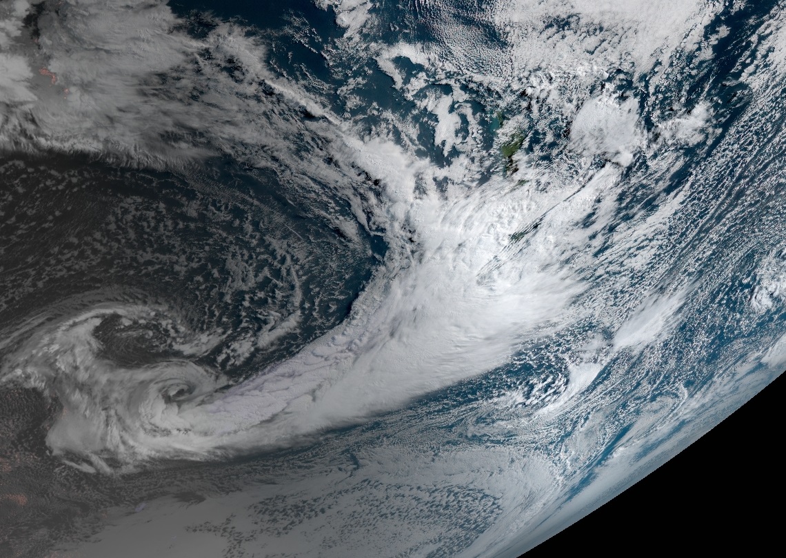
NIWA meteorologist Ben Noll says a massive dome of high pressure has developed over Antarctica which has resulted in a temporary northward displacement of stormy and unusually frigid conditions.
Near New Zealand, one piece of atmospheric energy from the Southern Ocean and another originally from the southern Indian Ocean will combine to create a powerful storm that will last through the weekend.
Mr Noll says heavy snow is forecast for the central North Island, including Mt Ruapehu, from tomorrow night until Sunday.
In the South Island the snow will be more extensive:
- Through to midday tomorrow: snowfall across interior Southland, Otago and the south of Canterbury, expanding to middle and northern Canterbury. Accumulations are expected mainly above 300m.
- Thursday afternoon into early Friday morning: snow levels dropping. Accumulations mainly above 200m across middle and northern Canterbury. Farther south, snow levels could drop below 200m with flurries possible to near sea level in Dunedin, Oamaru, and Timaru.
- Friday: periods of snow, mainly light, will likely continue. The most notable accumulations are expected above 200m in middle and northern Canterbury. Sleet is possible in places like Dunedin, Oamaru, and Timaru.
- Friday night into early Saturday: accumulating snow may drop below 200m. The heaviest falls will be across the north of Canterbury. Light snow to near sea level for Timaru, Oamaru, and Dunedin. Even Christchurch may see some snow.
- Later Saturday: accumulating snow mostly above 200m in middle and northern Canterbury. Easing at night.
Good news for ski fields
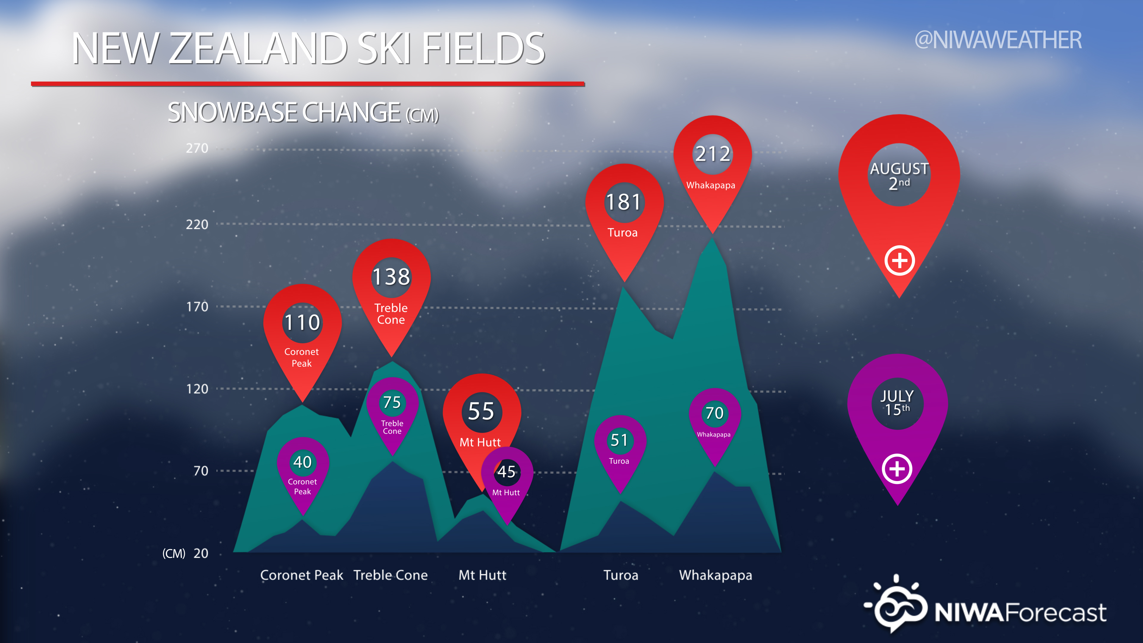
Meanwhile ski fields are already experiencing the benefits of new snow. As of yesterday Whakapapa had three times the snow base it had back on July 15th as the average depth increased from 70 cm to 212 cm. Coronet Peak’s snow base increased from 40 cm to 110 cm during that same period. Further increases in snow base are expected through this weekend at these fields and others.
Citizen scientists needed to help measure snow
NIWA is also asking for public help to measure the snow. With little scientific data available about snow in New Zealand, people can play an important role in helping scientists understand risk to buildings and infrastructure, such as powerlines.
Instructions on how to take snow measurements
Related links