-
Pacific Risk Tool for Resilience, Phase 2 (PARTneR-2)
Research ProjectThe three-year PARTneR–2 project aims to help countries in the Pacific become more resilient to the impacts of climate-related hazards. -
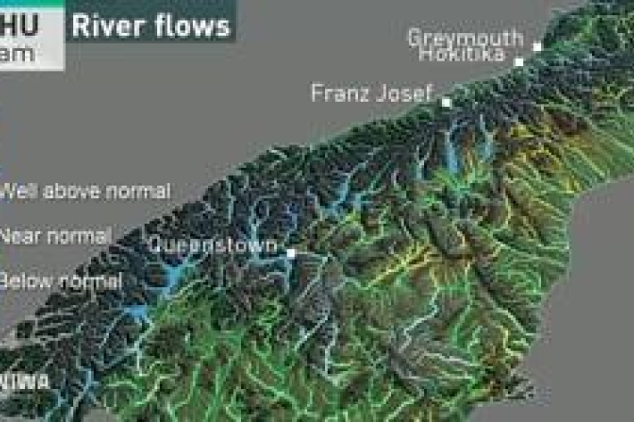
River flow forecasting
Research ProjectNIWA is developing a national river flow forecasting tool for New Zealand that aims to support and strengthen our planning for and response to extreme rainfall events. -

Tsunami generated by underwater volcanoes
Research ProjectMarsden-funded research investigating how erupting volcanoes can cause deadly and damaging tsunamis. -
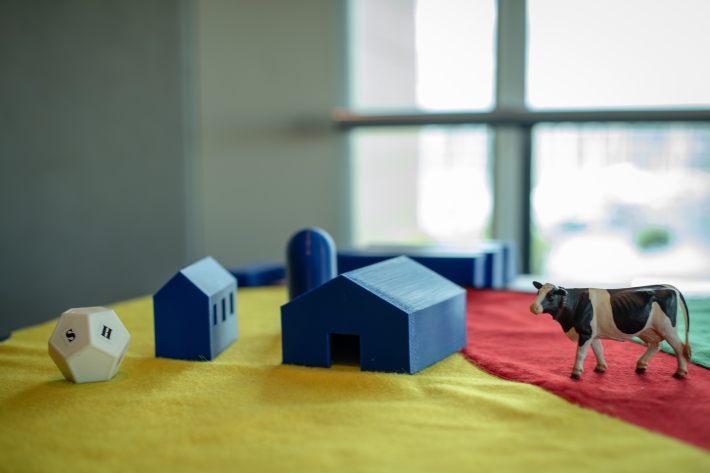
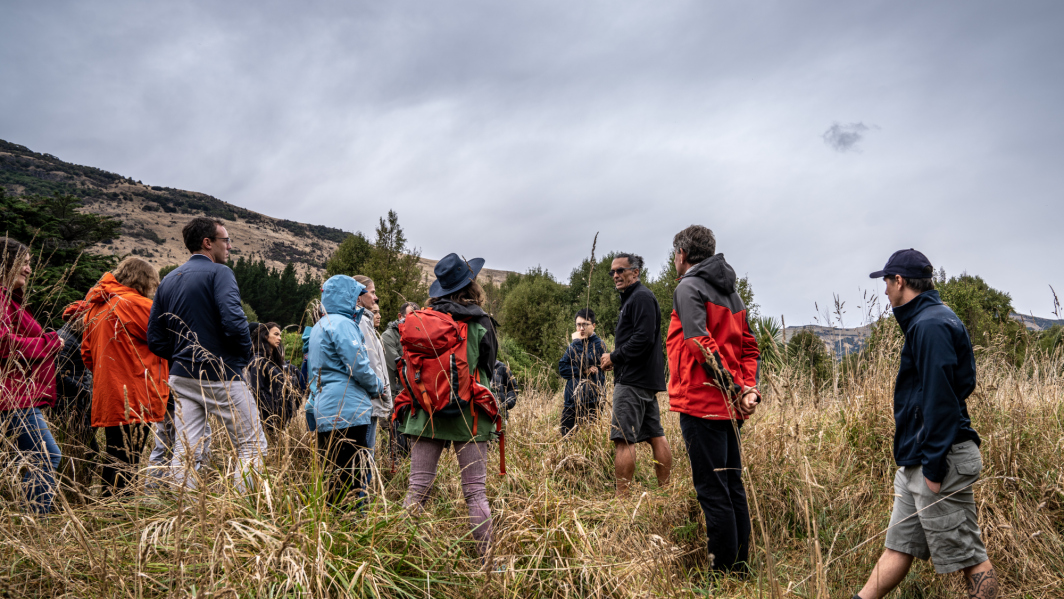
Adaptive futures: a serious game for climate change adaptation
Research ProjectNIWA is using serious games to look at problems holistically, support understanding and give a framework for climate change adaptation decision-making. -
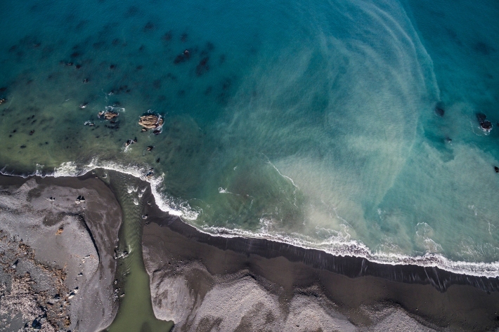
Flood-harvesting effects on braided river geomorphology
Research ProjectThe alp-fed braided rivers of Canterbury are treasured for their landscape, recreational amenities, salmon- and trout-fishing, and unique riverine environments – which provide habitat to a host of endangered birds – but they are under threat from land-use intensification and a growing demand for irrigation water. -
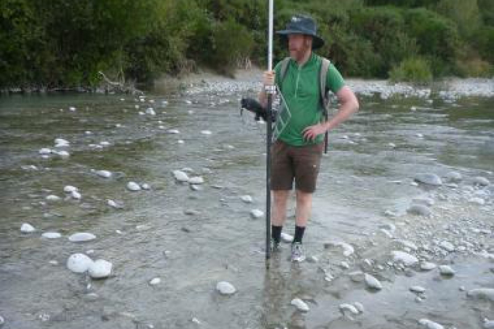
Suspended sediment dynamics in New Zealand Rivers: Impacts of catchment characteristics on the timing of sediment delivery during runoff events
Research ProjectFine sediment is the most pervasive and significant contaminant in New Zealand’s rivers, estuaries, and coastal areas. -
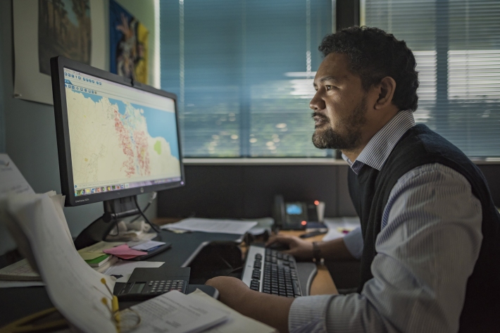
River forecasting: capabilities versus user requirements
Research ProjectCurrently there are gaps in understanding of user decision making processes and public needs and requirements for river forecasting in New Zealand. This project aims to bridge NIWA river forecasting aspirations and capabilities with both the public and decision makers’ requirements. -
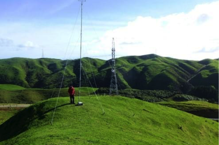
Estimating design wind speeds in complex terrain
Research ProjectThe current method for calculating wind speed-up is inadequate, and can grossly under-predict correct design wind speeds in NZ's complex terrain. -
PARTneR (Pacific Risk Tool for Resilience)
Research ProjectUnderstanding how hazards impact people and the environment provides the foundation for informed decision making for a resilient Pacific -
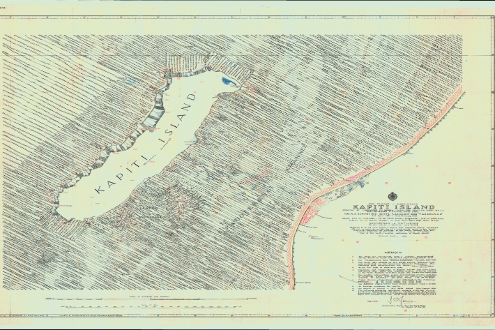
Revealing Kapiti Island's submarine landscape
Research ProjectWe are using modern techniques to map seafloor surrounding Kapiti Island, an area of significant cultural and environmental value to New Zealand. -
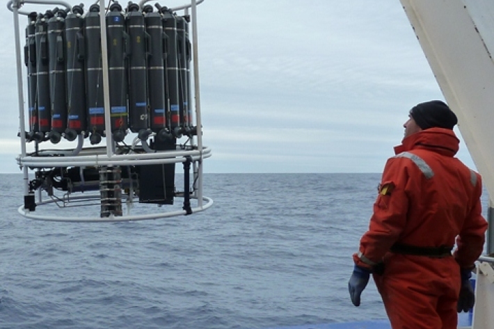
Oceans 20/20
Research ProjectThe Ocean Survey 20/20 (OS 20/20) programme aims to provide NZ with better knowledge of its ocean territory. -
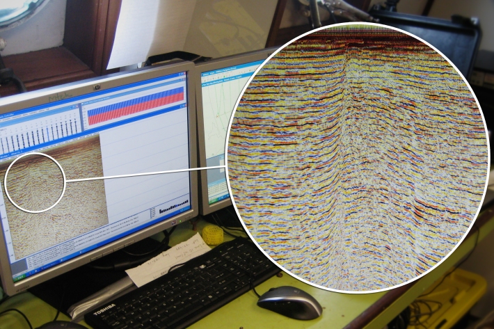
Submarine faulting beneath Pegasus Bay
Research ProjectIn September 2010 and February 2011, two devastating earthquakes (M7.1 and M6.3 respectively) hit the Canterbury region