-
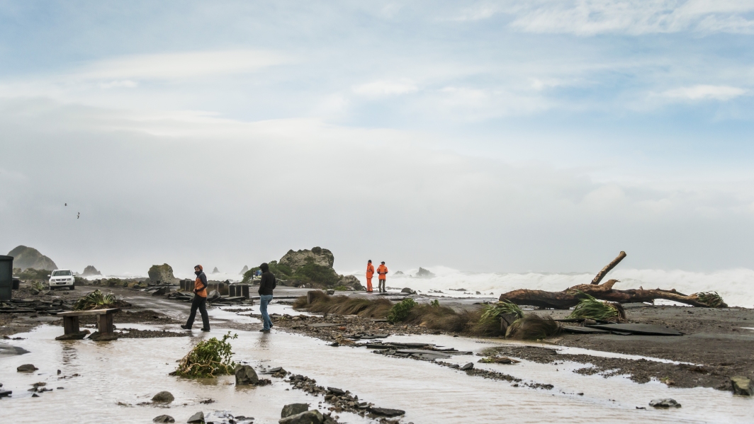
Extreme coastal flood maps for Aotearoa New Zealand
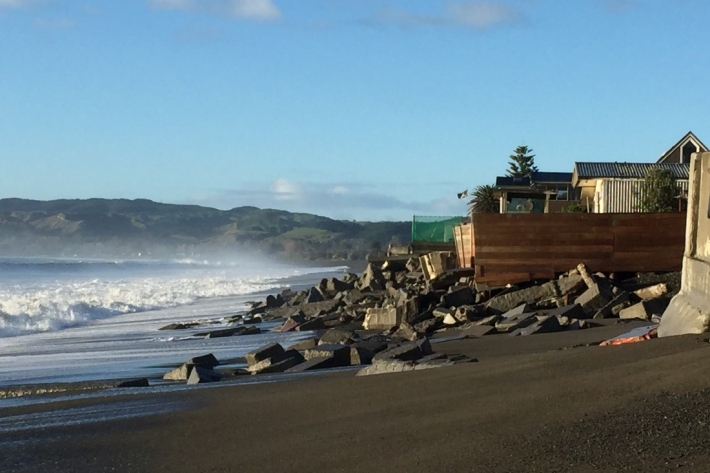
ServiceDecisions about how we adapt to sea-level rise need to be based on information about our exposure to coastal flooding. -
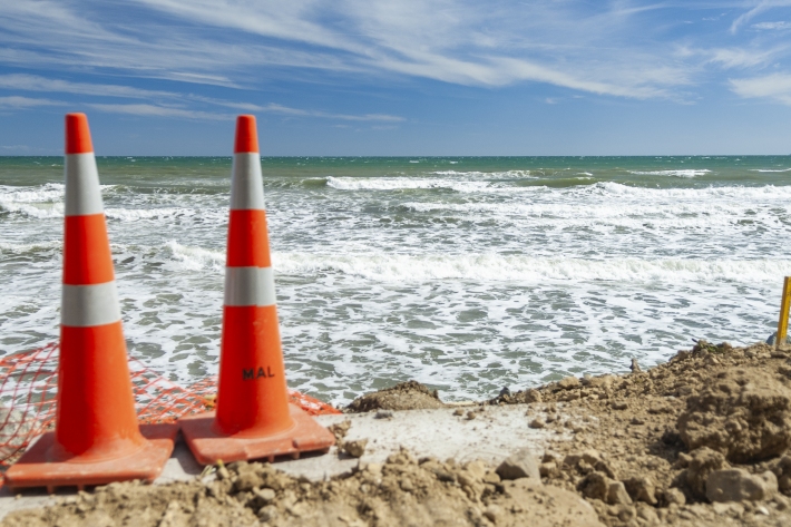
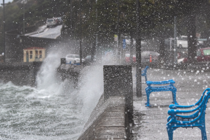
Storm-tide red-alert days 2026
ServiceStorm-tide red alerts mark the highest king tides, crucial for emergency and coastal hazard managers to monitor. -

Storm-tide red-alert days 2025
ServiceStorm-tide red alerts mark the highest king tides, crucial for emergency and coastal hazard managers to monitor. -

Tide Forecaster
ServiceNIWA's Tide forecaster provides tidal data for any point in New Zealand. -
Cam-Era
ServiceCam-Era is a network of computer-controlled cameras that monitor the New Zealand environment for research and resource management. These are also useful for surfers and swimmers. -
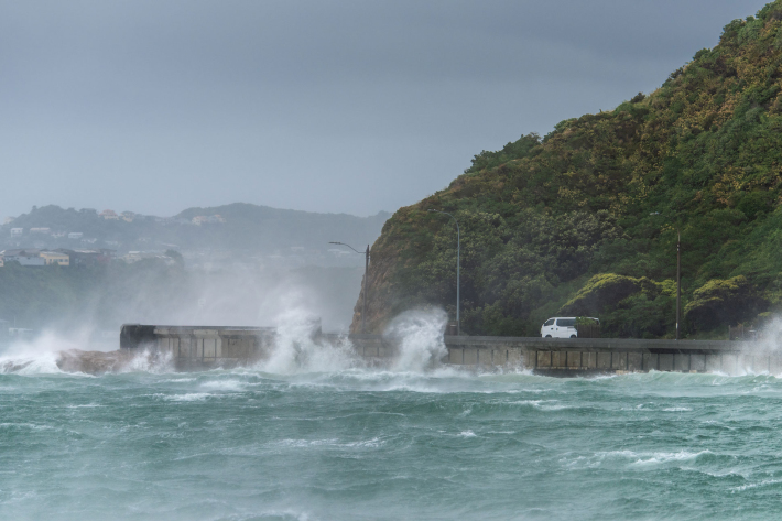
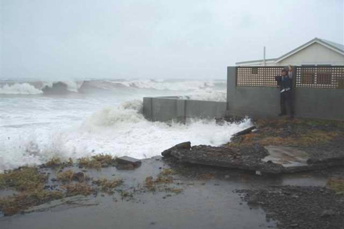
Storm surge and wave forecasting
ServiceWe combine capabilities in weather, wave, storm surge and tide forecasting with tide gauge observations. -
Sea level observations (near real-time)
ServiceThis system combines daily sea-level data from NIWA, regional councils, port companies, Antarctica NZ, Bureau of Meteorology and territorial authorities. -
Planning for coastal adaptation
ServiceCoastal risk exposure for New Zealand, adaptation guidance for local government and relevant summaries of previous court cases and Building Act 2004 determinations. -
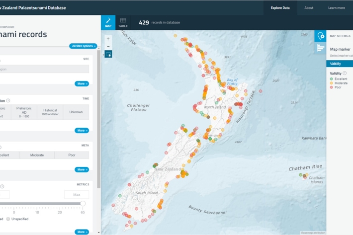
New Zealand Palaeotsunami Database
Software Tool/ResourceThe New Zealand Palaeotsunami Database (Database) brings together all known information about tsunamis that occurred prior to written records.