
-
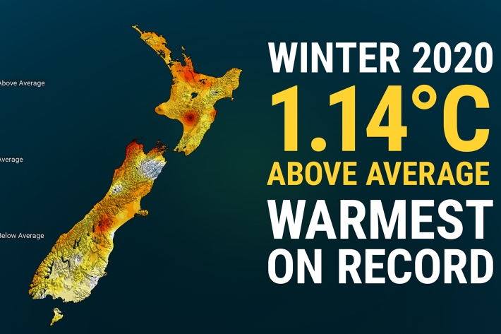
Winter 2020 – NZ’s warmest winter on record
Media release06 June 2017New Zealand has just experienced its warmest winter on record, according to official NIWA climate data. -

Climate mapping
Read about how NIWA can map any aspect of climate to help guide your organisation's response to a changing and variable climate. -
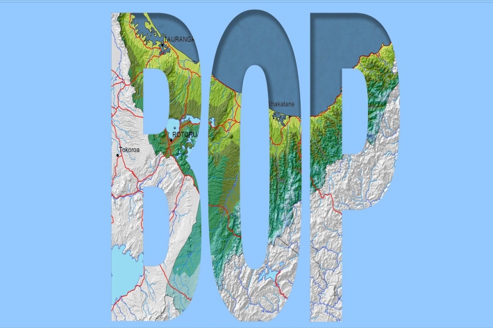
Bay of Plenty
The topography of the North Island has a profound effect on the weather of the Bay of Plenty region. -
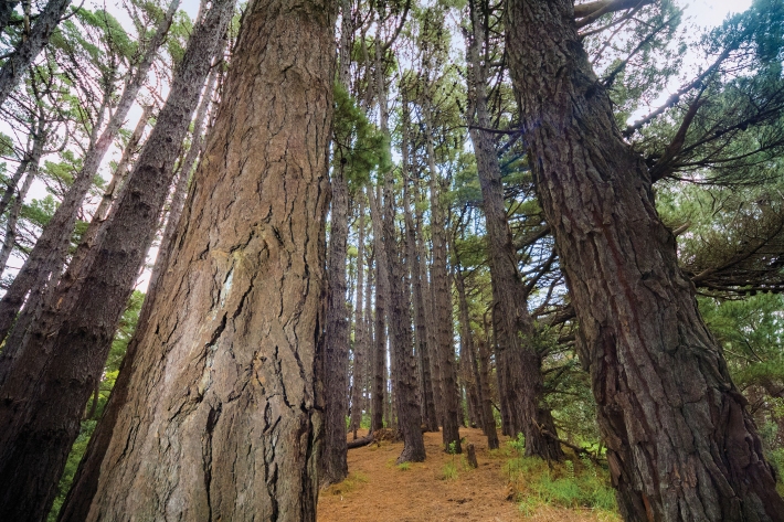
Native forests absorbing more carbon dioxide
Media release06 June 2017New Zealand’s forests and other land areas may be absorbing up to 60% more carbon dioxide than has been calculated, with much of this uptake likely occurring in native forests, NIWA scientists have discovered. -
Mean daily minimum temperatures (°C)
These datasets are available in a range of formats. -
Map North
Education ResourceThis is a sub-tropical climate zone, with warm humid summers and mild winters. -
Map Scott
Education ResourceScott Base, Antarctica Antarctica is the coldest, windiest and driest continent. -
Other Climate data products
Short-term to long-term data estimation -
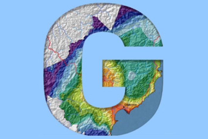
Gisborne
In comparison with regions exposed to the west, Gisborne experiences a greater number of weather and climatic extremes. -
Using trigonometric functions to model climate
Education ResourceYour task is to create a model of the data to predict the times during the year that a location would be pleasant to visit
