
-
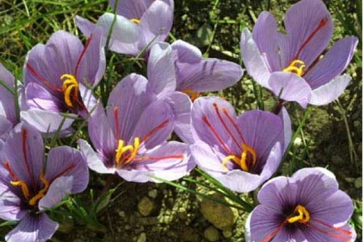
Assessment of crop and tree species growing potential using climate, soil and topographic information
Research ProjectThis project demonstrates how to assess high value alternative land-use options by means of a quantitative analysis of the growing potential of selected niche crops and tree species. -

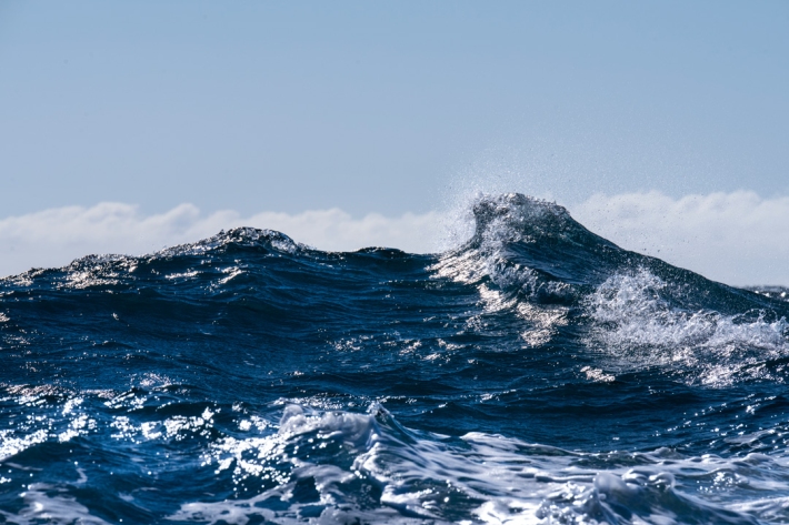
Wave hazard research
Research ProjectNIWA collects wave data, develops and verifies wave forecasting systems, and is developing and producing wave projections. -

Definitions of drought
There are several definitions of drought, depending upon whether it is viewed as a hazard or a risk. -
Lesson 9: Ngā Tohu o te Taiao – Māori environmental indicators
Education ResourceThis lesson will explore the use of Māori environmental indicators [tohu] to anticipate local weather and climate conditions. -
Marlborough
The main characteristic of the Marlborough climate is its dryness. Summer droughts are frequent, and the region is often swept by warm, dry northwesterlies. -
Climate change, global warming and greenhouse gases
Climate data and common terms explaining the causes and effects of climate change. -
Island Climate Update
Publication seriesA monthly summary of the climate in the tropical South Pacific islands, with an outlook for the coming months. -
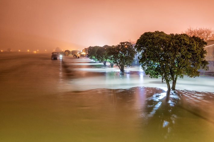
Understanding and predicting floods and their impacts
Feature story06 June 2017Floods are not unusual in New Zealand, but those that hit us early this winter broke records. Why did they occur? Should we expect more? Can we predict future floods? -
'Eleven-station' series temperature data
Research ProjectTemperature trends from 1930s to present day -
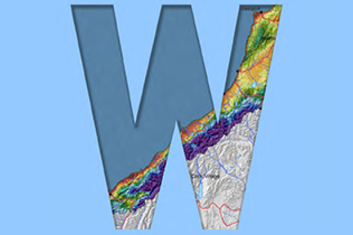
West Coast
West Coast is New Zealand’s wettest region, and this may be attributed to its exposure to the predominant westerly airflow over the country, combined with the orographic effect of the Southern Alps.