
-
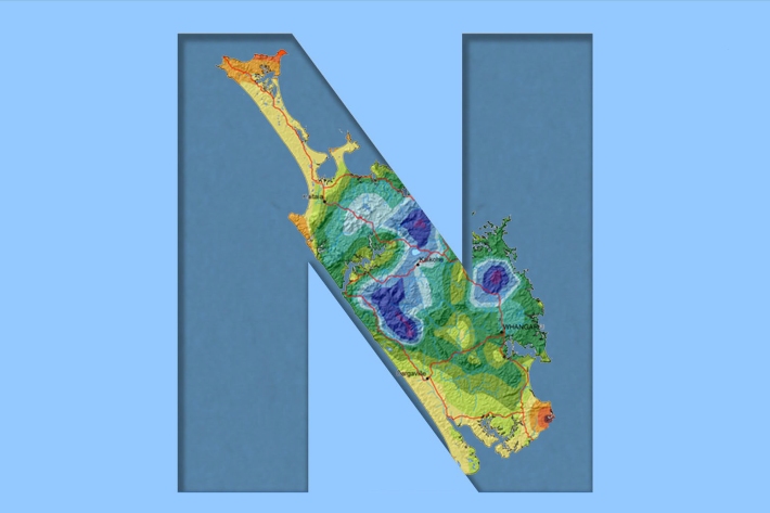
Northland
Northland, with its northern location, low elevation and close proximity to the sea is characterised by a mild, humid, and rather windy climate. -
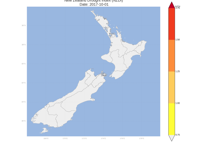
New Zealand Drought Monitor
ServiceThe New Zealand Drought Monitor is a system for keeping track of drought conditions across New Zealand based on a standardised climate index. -
Daily climate maps
These climate maps are updated daily and are based on data from our National Climate Database. -

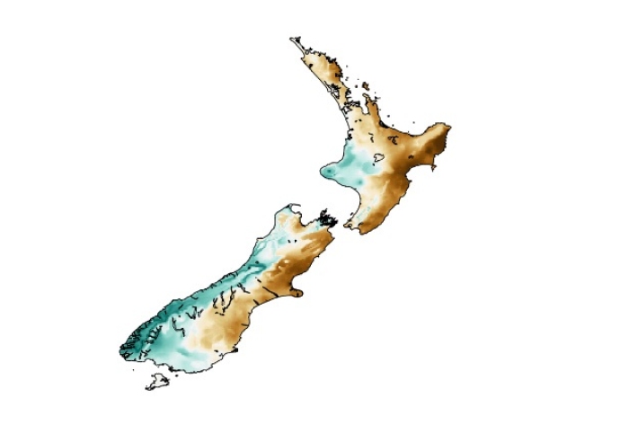
Mean daily maximum temperatures (°C)
These datasets are available in a range of formats. -
El Niño maps and charts
View a collection of maps showing the impact of past El Niño and La Niña events. -
Map E South
Education ResourceThe climate of this zone is greatly dependent on the lie of the massive Southern Alps to the west. -
The Intergovernmental Panel on Climate Change (IPCC)
Education ResourceThe Intergovernmental Panel on Climate Change (IPCC) is charged with assessing the most up to date scientific, technical and socio-economic research on climate change. -
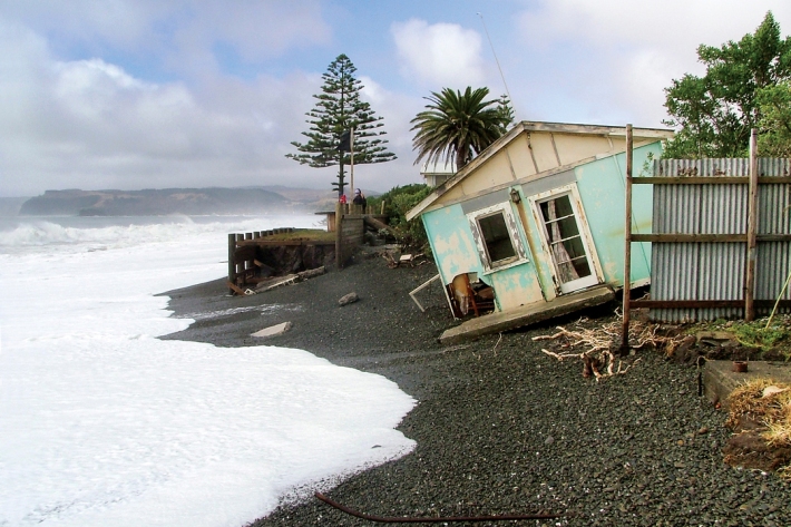
Sea-level rise
Education ResourceOne of the major consequences of climate change is rising global sea levels. -
Floods
Education ResourceRiver floods occur when water spills from a river channel onto land that is normally dry, and are one of New Zealand's costliest natural hazards. -

Climate Summaries
Publication seriesView annual, seasonal and monthly summaries of temperature, rainfall and sunshine data from across New Zealand. -
Mean monthly temperatures (°C)
These datasets are available in a range of formats.