-

NIWA's Hotspot Watch for 2 February 2018
Hotspot02 February 2018North Island hotspots continue to be found across much of Gisborne, northern Hawke’s Bay, and Tararua west to Horowhenua and Kapiti Coast. A small hotspot has also emerged across the east coast of the Coromandel Peninsula. The only hotspot in the South Island continues to be located in Southland, but it has decreased significantly in size and strength due to the recent heavy rainfall. -

NIWA's Hotspot Watch for 25 January 2018
Hotspot25 January 2018Current North Island hotspots are found in coastal Gisborne, interior Wairoa, as well as small portions of Kapiti Coast, Horowhenua, and Tararua. The only hotspot in the South Island continues to be a sizeable one which covers much of southern and interior Otago and nearly all of Southland. -

NIWA's Hotspot Watch for 18 January 2018
Hotspot19 January 2018A weekly update describing soil moisture across the country to help assess whether severely to extremely dry conditions are occurring or imminent. Regions experiencing these soil moisture deficits are deemed “hotspots”. Persistent hotspot regions have the potential to develop into drought. -

NIWA's Hotspot Watch for 11 January 2018
Hotspot11 January 2018A weekly update describing soil moisture across the country to help assess whether severely to extremely dry conditions are occurring or imminent. Regions experiencing these soil moisture deficits are deemed “hotspots”. Persistent hotspot regions have the potential to develop into drought. -

NIWA's Hotspot Watch for 21 December 2017
Hotspot21 December 2017A weekly update describing soil moisture across the country to help assess whether severely to extremely dry conditions are occurring or imminent. Regions experiencing these soil moisture deficits are deemed “hotspots”. Persistent hotspot regions have the potential to develop into drought. -
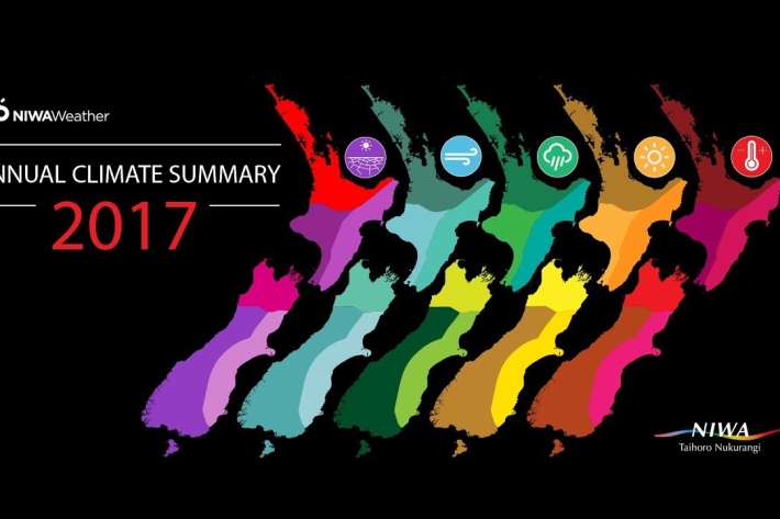
Summer Series 2017 - NIWA's Year of Weather
Feature story21 December 2017Four seasons with a little bit of everything.
It started with the bummer summer… then came the fires, rain, flooding and a very weird November.
But it’s all in a year of weather as NIWA wraps up the seasonal highlights. -

NIWA's Hotspot Watch for 14 December 2017
Hotspot14 December 2017A weekly update describing soil moisture across the country to help assess whether severely to extremely dry conditions are occurring or imminent. Regions experiencing these soil moisture deficits are deemed “hotspots”. Persistent hotspot regions have the potential to develop into drought. -

NIWA's Hotspot Watch for 7 December 2017
Hotspot08 December 2017A weekly update describing soil moisture across the country to help assess whether severely to extremely dry conditions are occurring or imminent. Regions experiencing these soil moisture deficits are deemed “hotspots”. Persistent hotspot regions have the potential to develop into drought. -
Warming ocean to alter ecosystems and affect fisheries by end of century, says NIWA scientists
Feature story05 December 2017Rapid warming of the ocean near Tasmania may provide a good indication of how the water around New Zealand will change as the planet warms, say NIWA scientists. -

‘Weather detectives’ saving historical records
Media release01 December 2017More than 50 “weather detectives” from 20 countries will be in Auckland next week to share their experiences saving snippets of meteorological history that will ultimately help scientists better understand the processes of climate variability and change. -

NIWA's Hotspot Watch for 30 November 2017
Hotspot30 November 2017A weekly update describing soil moisture across the country to help assess whether severely to extremely dry conditions are occurring or imminent. Regions experiencing these soil moisture deficits are deemed “hotspots”. Persistent hotspot regions have the potential to develop into drought.