-
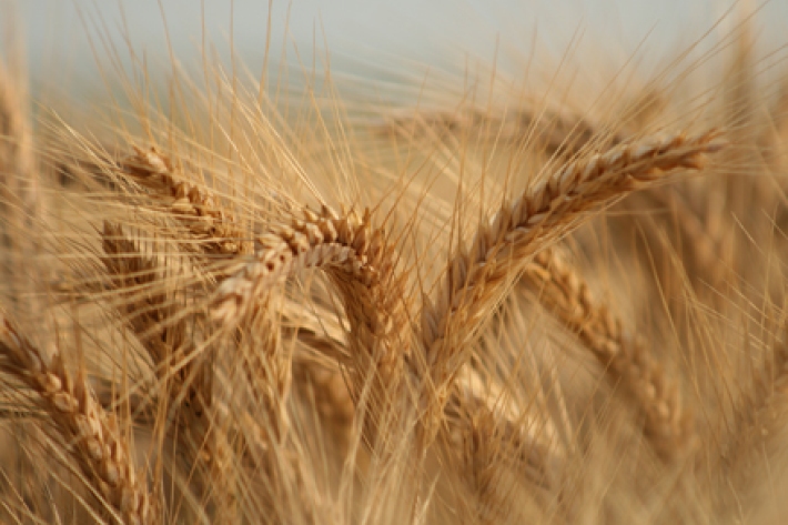
Agriculture
The most common agricultural activities in Aotearoa are dairy, cropping, sheep, and beef farming. -

Bio-oil from wastewater algae
Research ProjectThis project will demonstrate the commercial feasibility of producing bio-oil by the conversion of algae biomass that has been grown in wastewater treatment facilities. In particular we aim to maximise algae production in High Rate Algal Ponds (HRAP) by adding carbon dioxide, and demonstrate energy efficient conversion of algal biomass to bio-oil. -

Has the climate changed in the past?
The Earth's climate has exhibited marked "natural" climate changes, with time scales varying from many millions of years down to a few years. -
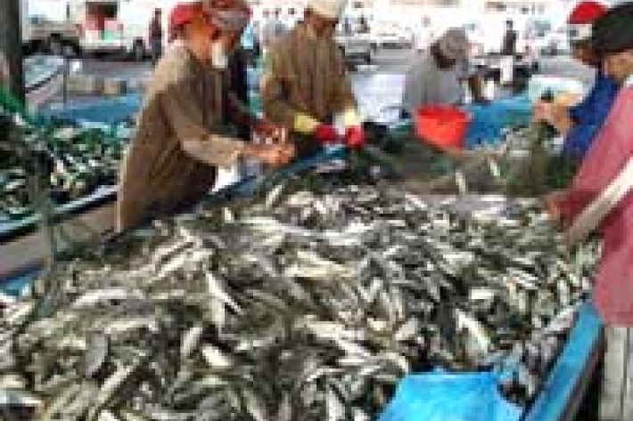
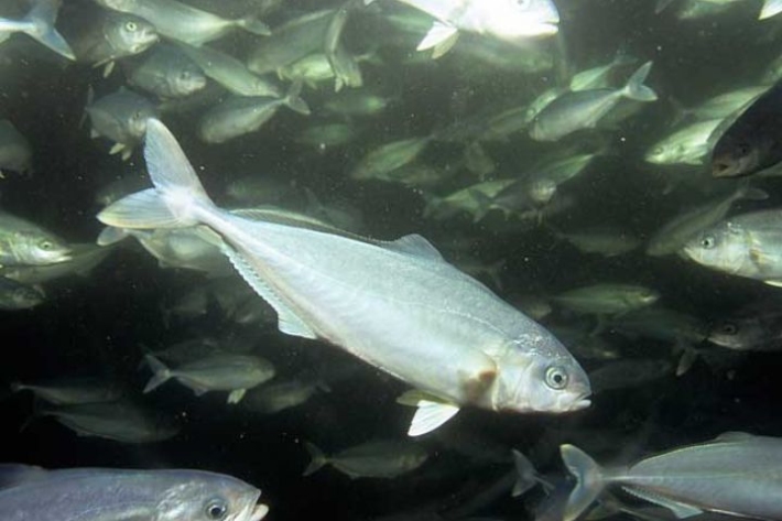
Fish resources assessment survey of the Arabian Sea coast of Oman
Research ProjectA primary aim of the Sultanate of Oman Ministry of Fisheries Wealth is to ensure that fisheries are developed and managed for the advantage of the people of Oman in a manner that is sustainable and maintains biodiversity. -
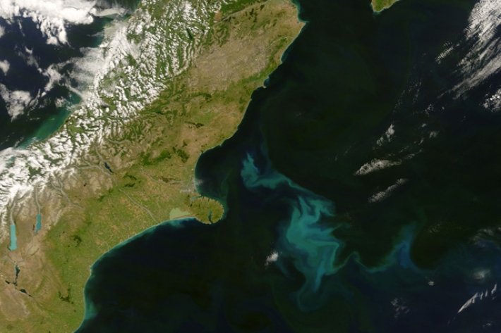
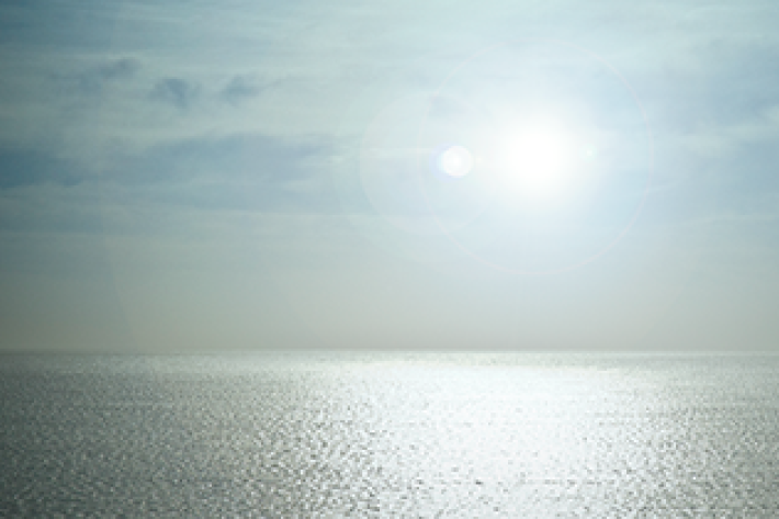
Remote sensing of phytoplankton biomass and productivity
Research ProjectSatellite images can be used to measure phytoplankton biomass in the ocean around New Zealand in order to understand ocean ecosystems, fish populations and greenhouse gas absorbtion. -
Cyclone Bola still making its mark after 21 years
News article02 April 2009 -
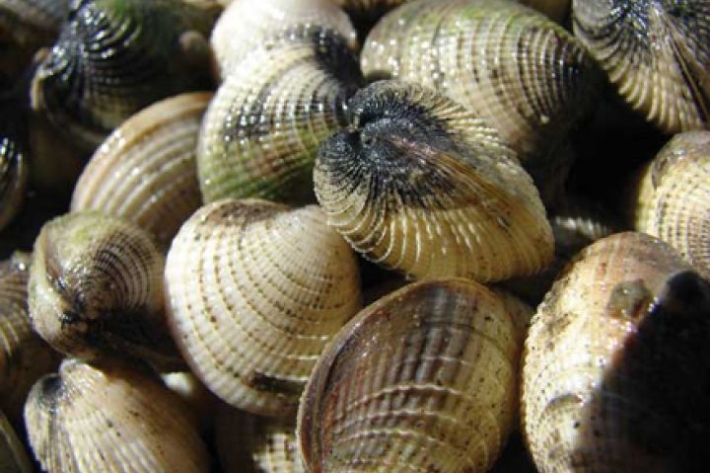
Estuarine Ecodiagnostics
Research ProjectEstuaries are highly valuable systems that provide enormous economic and cultural benefits to all kinds of people. However, expanding human populations and urban development around estuaries is increasing contaminant loads, with metals and polycyclic aromatic hydrocarbons (PAHs) accumulating in sediments. -
Why is there water flowing in a river when it isn’t raining?
In the absence of rain, most of the flow in a river is water that drains slowly from the ground. -

Ngā Waihotanga Iho - Iwi estuarine monitoring toolkit
Research ProjectNgā Waihotanga Iho, the estuarine monitoring toolkit for Iwi, has been developed to provide tangata whenua with tools to measure environmental changes in their estuaries. While Ngā Waihotanga Iho is based on sound science principles, it is also underpinned by tangata whenua values. -
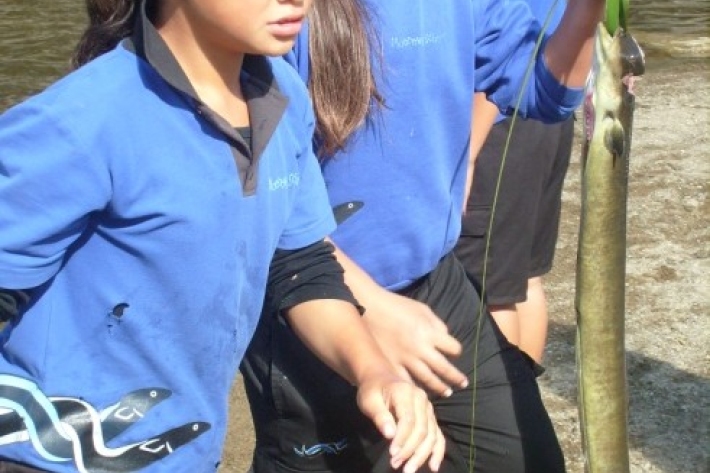
Mātauranga Māori and sustainable management of New Zealand fisheries
Research ProjectUsing a collaborative case study approach, the aim of this project is to assist tangata whenua to bring together different, yet complementary knowledge systems - distinct Māori knowledge and conventional fisheries and ecosystem information. -
Te Kūwaha tools and resources
NIWA is constantly developing new tools and resources for use by specific stakeholders, communities, and schools.