-
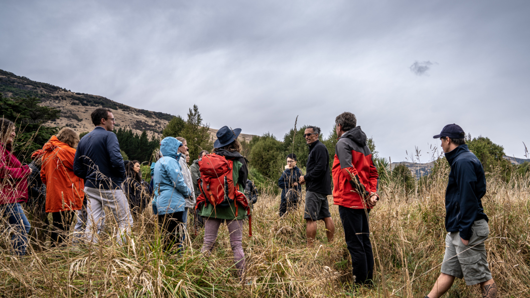
Cyclone impacts on fisheries and seabed ecosystems - KAH 2303 & 2306
VoyageKaharoa Voyages KAH 2303 & 2306 -
High Intensity Rainfall Design System (HIRDS)
ServiceHIRDS is a simple online tool that can estimate the magnitude and frequency of high intensity rainfall at any point in New Zealand. -
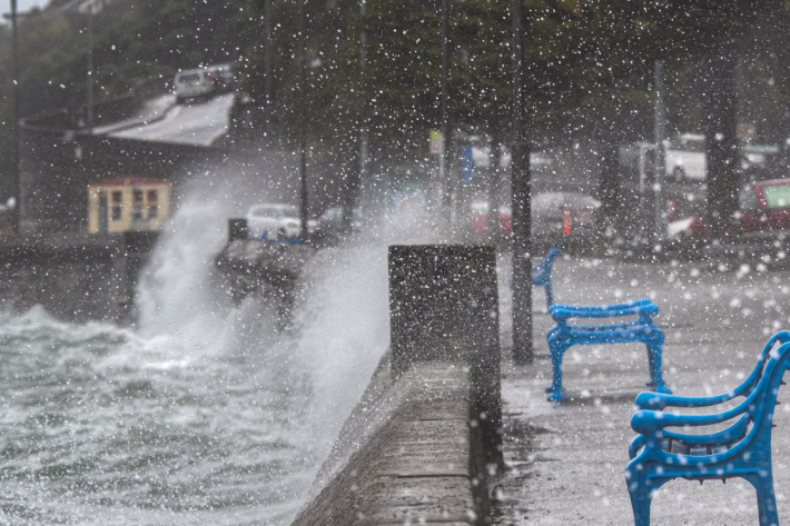
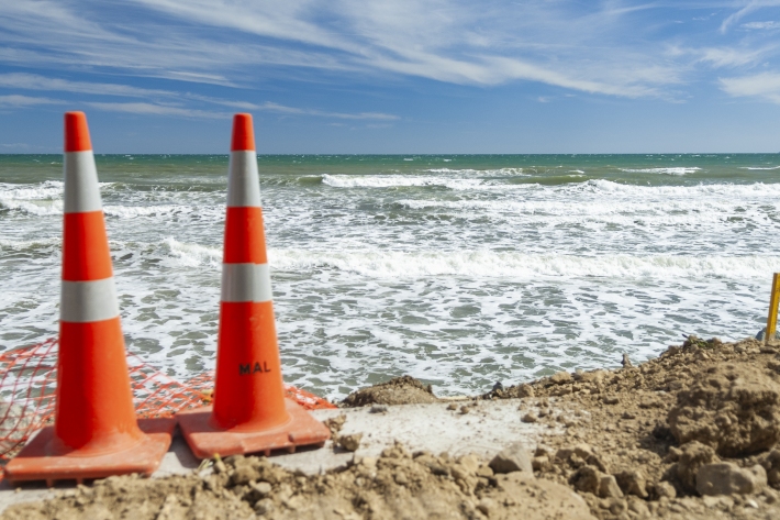
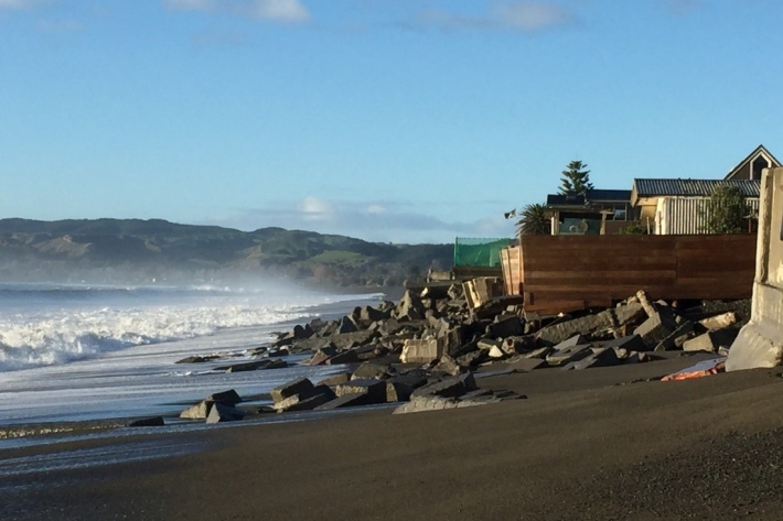
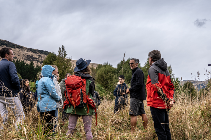
Responding to and preparing for extreme weather events
Research ProjectFollowing extreme weather events in 2023, NIWA reprioritised research to help affected communities recover and prepare for the future. -

Tonga eruption and tsunami shock the world
The Hunga-Tonga Hunga-Ha'apai volcano generated the biggest atmospheric explosion recorded on Earth in more than 100 years. -
Extreme coastal flood maps for Aotearoa New Zealand
ServiceDecisions about how we adapt to sea-level rise need to be based on information about our exposure to coastal flooding. -

River flow forecasting
Research ProjectNIWA is developing a national river flow forecasting tool for New Zealand that aims to support and strengthen our planning for and response to extreme rainfall events. -

My Coastal Futures online game
Education ResourceThe My Coastal Futures game was developed to help people understand climate change impacts and start thinking about how they might adapt. -

High resolution drought forecasting
Research ProjectNIWA and the Ministry for Primary Industries (MPI) are working together to develop a new drought forecasting tool. -
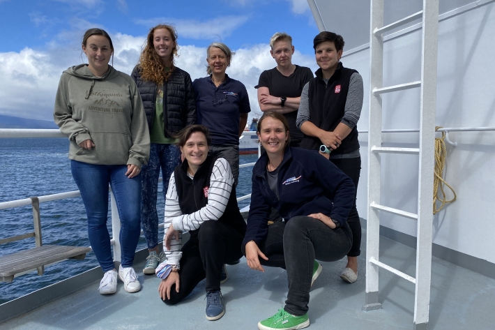
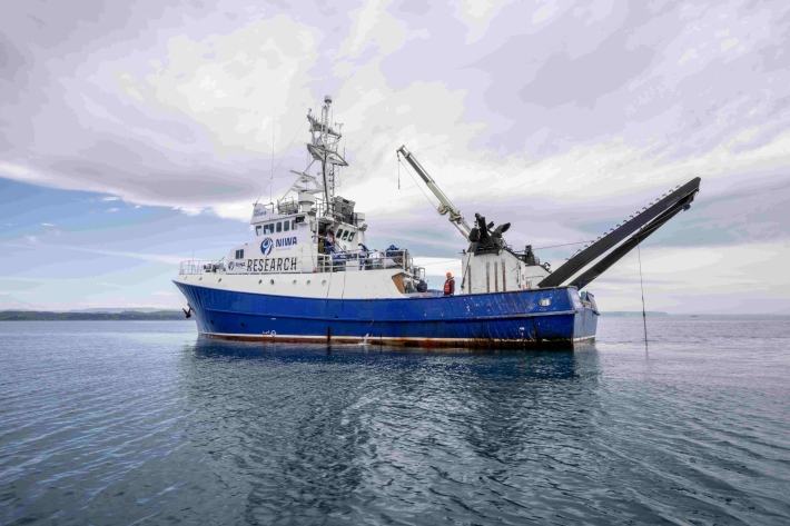
Tasman Sea tsunami - TAN2111
VoyageYou’ll be blown away by what these women in science are doing onboard RV Tangaroa in the Tasman sea! -
RiskScape software
Research ProjectRiskScape is a software application for analysing natural hazard consequences. -
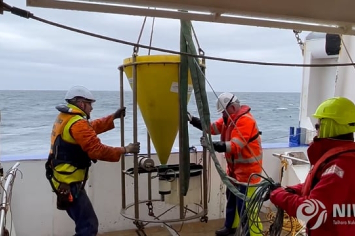
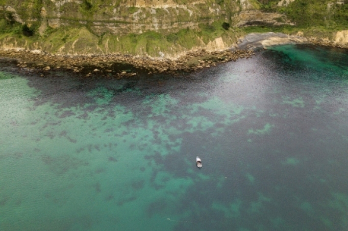
Kaikōura Canyon - TAN2112
VoyageKaikōura Canyon reveals its muddy secrets -
Mā te haumaru o ngā puna wai o Rākaihautū ka ora mō ake tonu
Research ProjectThis five-year NIWA-led research programme is developing a system to map flood hazard consistently across the whole country. It will reveal how our flood risk might change over the next 100 years because of changes to rainfall and sea level from climate change, as well as due to land-use changes.