Small transmitters on Weddell seals are helping protect more than a million square kilometres of Antarctic ocean. The seal-tracking project is one component of a five-year NIWA-led programme to understand the different ecosystems components in the fragile environment of the world’s largest marine protected area.
“It took about 20 years to get marine protected areas established in the Southern Ocean to complement the work done by the Commission for the Conservation of Antarctic Marine Living Resources (CCAMLR) on managing fisheries and preventing over-exploitation,” says NIWA scientist Dr Matt Pinkerton. “NIWA scientists have been at the forefront of all that research, from when one New Zealand vessel started commercial fishing in the Ross Sea area in 1997. It is not an easy task since a lot of countries don’t want to tie up areas from fishing”.
The breakthrough came in 2017, when all 26 CCAMLR members agreed to a New Zealand and the United States proposal to establish the world’s largest marine protected area (MPA), covering 1.55 million km2 of the Ross Sea region. NIWA’s current scientific programme studies how the area can be monitored and seeks to understand how different ecosystem components work.
“The research is very diverse and spans from the physical oceanography, right through to the phytoplankton, zooplankton, fish, penguins, seals and even whales. We have collaborators from many parts of the world, including Australia, US, Japan, UK, China and Korea.”
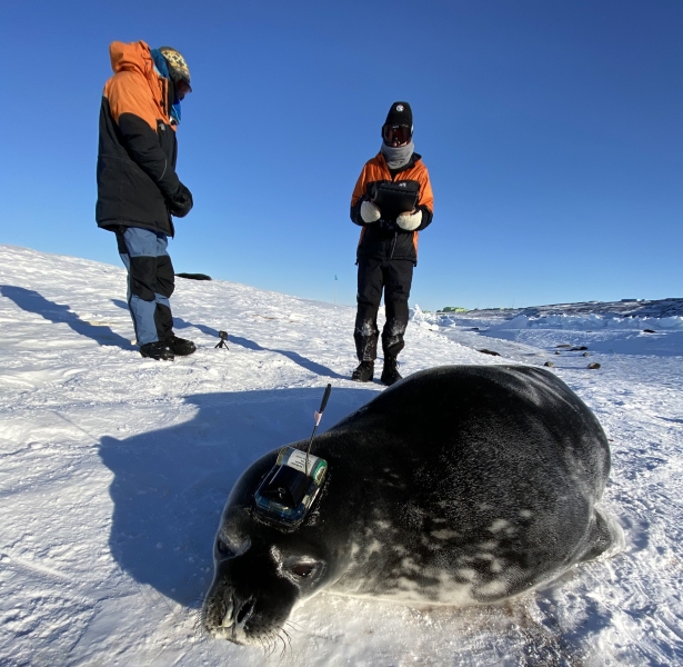
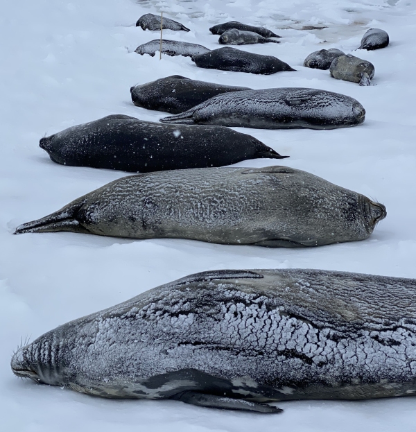
As part of the NIWA programme, an international team of scientists is tracking Weddell seals in the Ross Sea. The seals eat toothfish, which is a major target for commercial fisheries in the area. Using satellite tags, scientists are trying to figure out where the seals go during winter, how much toothfish they are consuming and what protection the marine protected area offers them.
“A lot of the Ross Sea shelf has been closed to fishing, to try to stop the overlap between where the fishing takes place and where the seals are foraging, especially when the females have the pups on shore and can’t go very far. With this data, we are trying to figure out if we need to modify the management of the fishing industry,” says Dr Pinkerton.
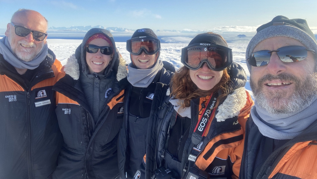
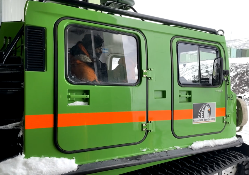
He co-supervises University of Canterbury PhD student Rose Foster who was part of the international team which tagged the seals this summer. “We were there for five weeks, staying at Scott Base and travelling by Hägglund out to the seals each day,” she says.
“We managed to get 18 tags on, selecting seals based on their breeding history and age, while also making sure they had moulted enough to ensure the tag would stay on for the winter. We'd sedate the seal, weigh her, take blood samples, lengths, girths, swabs, a whisker and fur sample, and ultrasounds to measure blubber thickness before attaching the tag. We tagged females that had bred and others that had not to see if they display similar foraging behaviours.”
This work builds on previous studies led by NIWA scientists in summer 2018/19 looking at how seals saw the world and also where they travelled relative to the boundaries of the Ross Sea MPA. The information gathered by each seal over the coming months will help highlight the areas most frequently used and the depths at which they forage. The marine protected area is currently set up for a lifespan of 35 years. After this time, all the countries involved must agree on its effectiveness in protecting marine life for it to continue.
“New Zealand has a special responsibility to continue making sure that the fishery is carried out in a way that doesn’t damage the ecosystem. We do more research on the effects of fishing in the Ross Sea than any other country in the world. You have to maintain the reproductive capacity of the fishing stock that you are fishing, but you also must not allow that fishing to affect other species in the ecosystem,” says Dr Pinkerton.
Data from the seals’ travels will aid this quest.

