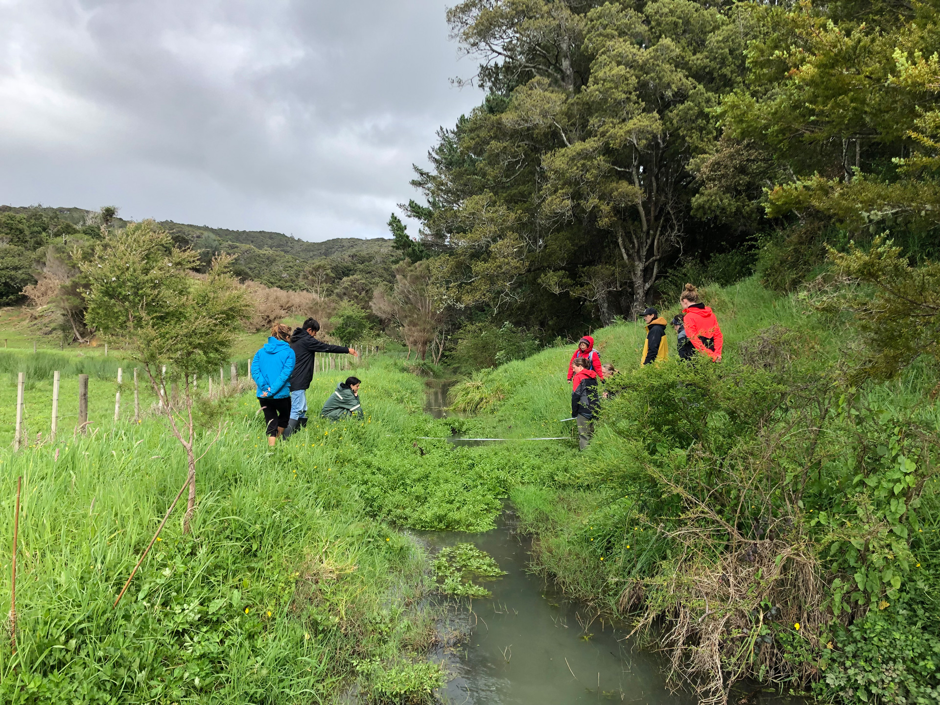
Electronic field form templates have been developed to support community-based monitoring (CBM) groups to capture stream health observations and measurements in an efficient and standardised way.
The ArcGIS-based Survey 123 forms, for use on mobile phones, tablets or computers, form part of a larger NIWA-led project to develop a national quality assurance framework to support the growing number of community-based freshwater monitoring groups in Aotearoa.
The framework focuses on monitoring of stream health and aims to ensure that CBM data are of a known quality and fit for purpose. It includes over 25 variables used to describe physical, chemical and microbiological water quality, aquatic life, physical habitat and hydrology. Many of these variables are also relevant to monitoring of lakes and coastal waters.
“As with all monitoring, establishing a clear purpose is critical to informing what a group will monitor, where, when, and how,” NIWA scientist, Juliet Milne said.
“An electronic monitoring and quality plan template is therefore a central component of the framework.”
A guidance document is also in development that outlines the framework, the information needed to support completion of a monitoring and quality plan, and for each monitoring variable, the measurement methods and necessary supporting observations and quality checks.
A range of methods are being catered for, including both field kit and lab-based measurements.
The project is being championed by Greater Wellington Regional Council on behalf of all regional councils and has been funded through an MBIE Envirolink Tool Grant. It is supported by partnerships with a wide range of government and non-government organisations, including The Mountains to Sea Conservation Trust, EOS Ecology and Hill Laboratories.
“Regional councils want to better support catchment and community groups to collect, visualise and share their freshwater data” says Greater Wellington senior freshwater scientist Dr Amanda Valois.
“The use of ArcGIS Survey123 field forms enable groups to collect data quickly and consistently and the design ensures that critical supporting information needed to interpret and make use of the data is also captured.”
The electronic forms are entering a trial phase with CBM support organisations and catchment groups. This includes working with Wai Connection – Tatai ki te wai, a new nationwide project led by Mountains to Sea Community Trust that will be supporting catchment groups across Aotearoa with freshwater management and monitoring.
The CBM QA guidance document and templates will be accessible online and freely available for use by 31 October 2023.