
-
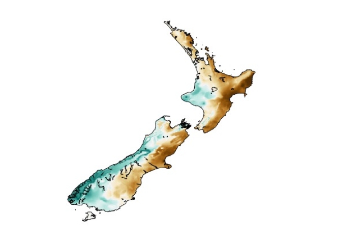
El Niño maps and charts
View a collection of maps showing the impact of past El Niño and La Niña events. -

Map E South
Education ResourceThe climate of this zone is greatly dependent on the lie of the massive Southern Alps to the west. -
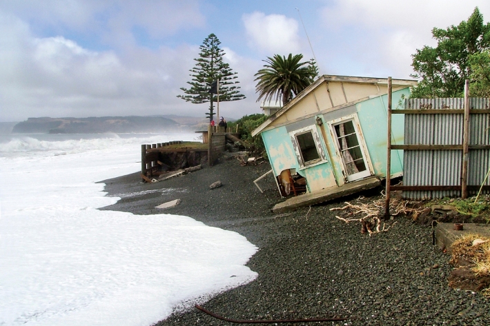
Sea-level rise
Education ResourceOne of the major consequences of climate change is rising global sea levels. -
Floods
Education ResourceRiver floods occur when water spills from a river channel onto land that is normally dry, and are one of New Zealand's costliest natural hazards. -
Mean monthly temperatures (°C)
These datasets are available in a range of formats. -
Map I South
Education ResourceThe climate of this zone is largely dependent on the lie of the Southern Alps to the west, but many areas are also sheltered by high country to the south and east. -
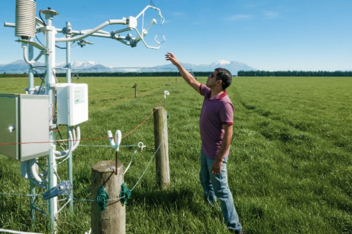
Farming and the primary sector
Farmers are making business decisions everyday which are influenced by environmental factors. We can help farmers to improve decision-making, mitigate farm environment risk, and to become more productive, efficient, competitive and sustainable. -
The Intergovernmental Panel on Climate Change (IPCC)
Education ResourceThe Intergovernmental Panel on Climate Change (IPCC) is charged with assessing the most up to date scientific, technical and socio-economic research on climate change. -
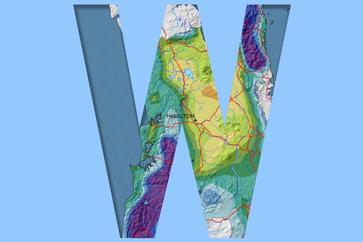
Waikato
Waikato exhibits a range of climates due to the variety of landscapes in the region.