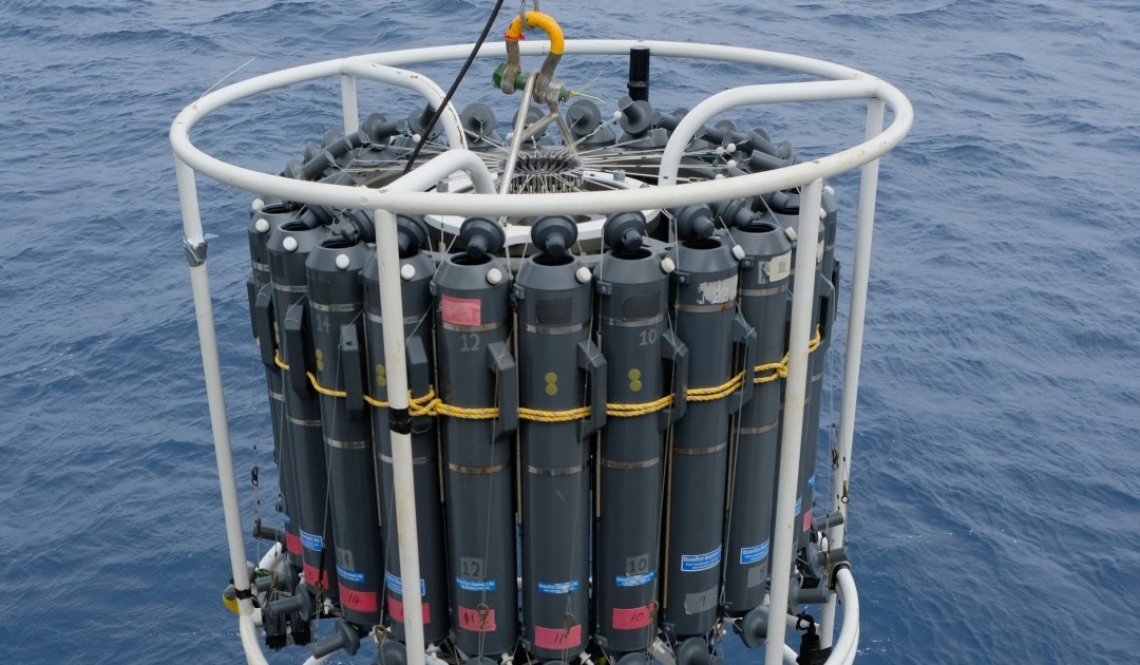
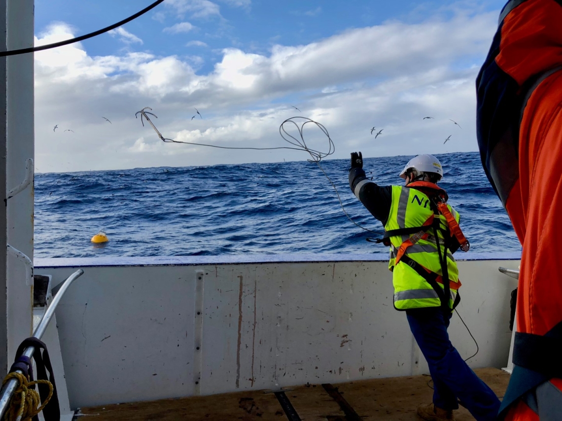
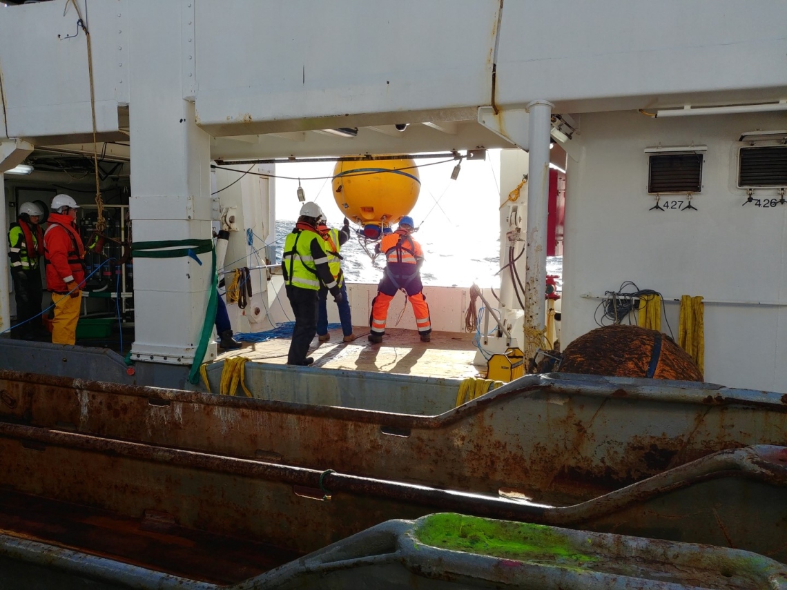
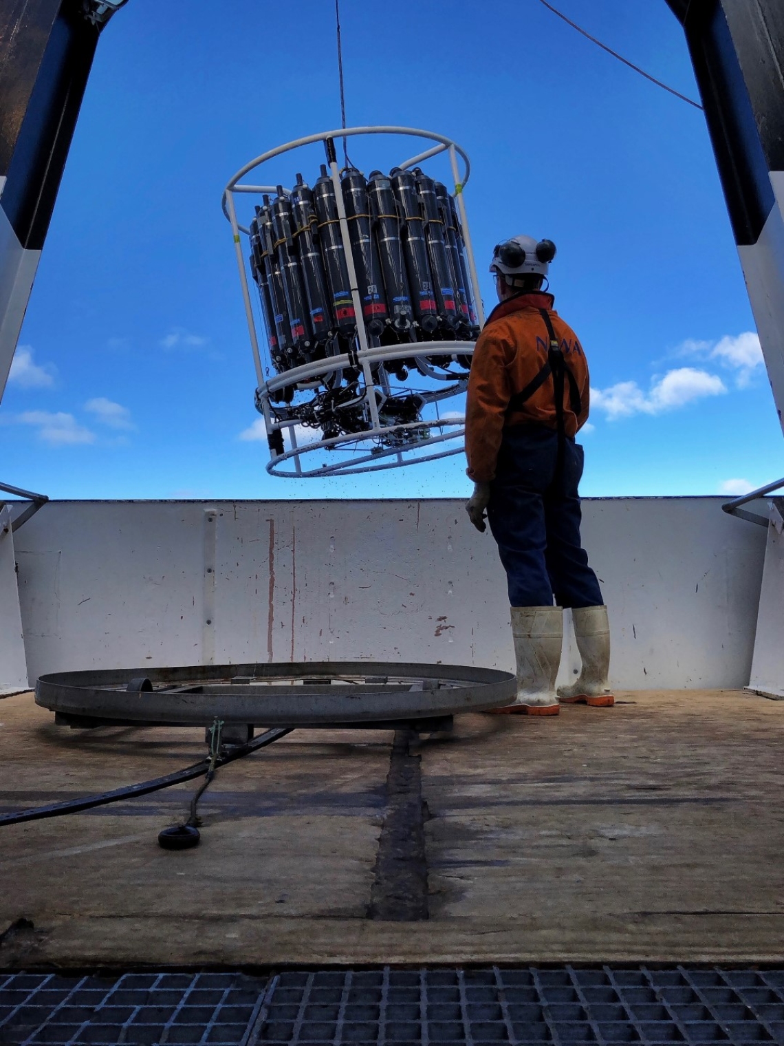
RV Tangaroa headed to the Campbell Plateau in April 2018, to the southeast of the South Island, to recover moorings and undertake a CTD survey.
The Campbell Plateau is an interesting area which separates the Subantarctic Front which flows around its southern flank from the Subtropical Front to the west and north.
These moorings will hopefully provide the first year-long time-series of physical conditions to define the annual cycle over Campbell Plateau. The region is interesting in that surface waters get sufficiently cold in winter to mix all the way down to the bottom (~800m), forming a deep layer of uniform water that is called Subantarctic Mode Water. This mode water then gets 'capped' the following spring by warmer surface water, effectively sequestering Carbon Dioxide and heat. The mooring time-series will allow this process to be quantified for the first time and will be used to estimate how much mode water is formed and whether it moves off the plateau - making it of global rather than local significance.
In addition, Campbell Plateau is an anomalous region in that sea level there is dominated by mass changes rather than thermal changes which are more generally the norm. The mass changes amount to water either piling up or draining off the plateau. The reasons for these mass changes are currently unknown, but will be informed by the moored data.
Two of the CTD transects repeats earlier work to provide measurements of change. The first is across the Southland Current east of Otago, the second is across the Subantarctic Front southeast of Campbell Plateau. A third transect runs parallel to the Solander Trough between Stewart and Auckland Islands.
The voyage departed Wellington on Wednesday 11 April 2018 and returned on Tuesday 24 April 2018.
Voyage update: 17 April 2018
Phil Sutton, Voyage Leader
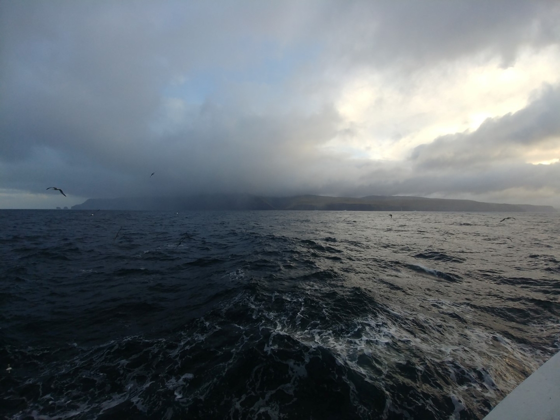
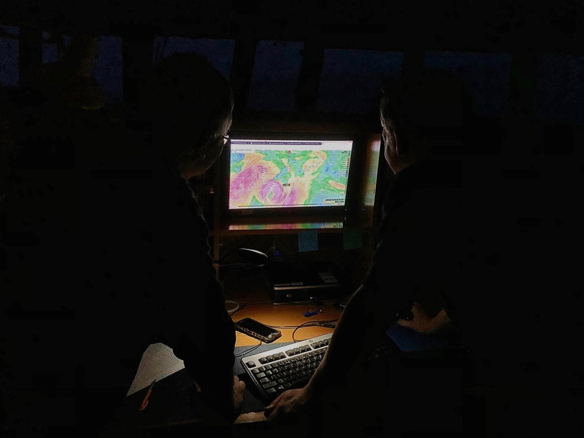
The voyage so far has been hampered by bad weather. First of all, the sailing from Wellington was delayed because of the storm on the Wahine anniversary (perhaps an inauspicious choice for a sailing day). We did had a good run down the east coast of the South Island and managed to complete our CTD transect off Nugget Point. We then headed south for the first mooring recovery, but had to delay operations for a day waiting for the wind to ease.
The mooring was successfully recovered yesterday in trying conditions, but with more high winds forecast, we continued south to shelter in the lee of Auckland Island. We are now heading to the second mooring site to undertake a CTD and then recover the mooring if conditions allow - the weather forecast looks far less than great.

