Approved by the United Nations Commission on the Limits of the Continental Shelf, New Zealand was made sovereign over 1.7 million square kilometres of seafloor in addition to its control of the Territorial Zone and Exclusive Economic Zone.
These areas combined, including the Ross Dependency and the area of search and rescue responsibilities, mean New Zealand governs one of the largest maritime estates in the world, accounting for nearly 10 per cent of the world’s oceans. Initiated to clarify rights to oil, gas and mineral resources, the UN approval of New Zealand’s proposal gave New Zealand exclusive rights to develop and manage resources in the acquired area. New Zealand was just the fourth country in the world to gain the UN’s rubber-stamp of its extended continental boundaries.
The new boundaries were the result of survey and research work that began in 1999 involving the Ministry of Foreign Affairs and Trade, Land Information New Zealand, the Institute of Geological and Nuclear Sciences, and NIWA.
RV Tangaroa's role
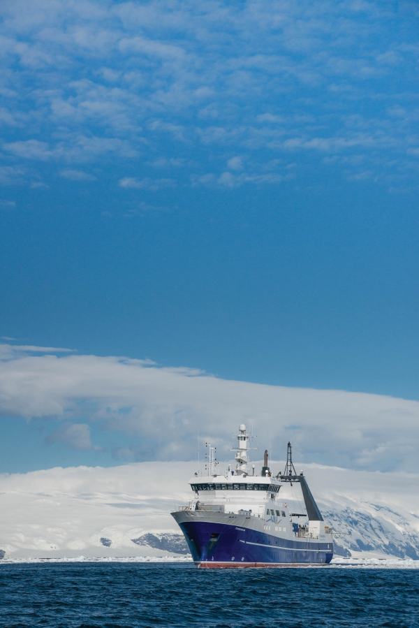
NIWA’s flagship research vessel, Tangaroa, played a pivotal role in obtaining much of the data and research that went into the successful proposal to the UN.
“Tangaroa provided that key information,” says NIWA General Manager of Research Dr Rob Murdoch.
“There was a whole bunch of historical information, but Tangaroa did the remaining survey work to provide the data that enabled New Zealand to make the claim.
“It grew New Zealand’s area of jurisdiction by another 25 per cent, about 1.7 million square kilometres, with rights to manage any resources associated with the seabed only, not the water above it, as we do with the EEZ.”
Dr Murdoch said Tangaroa had obtained the seismic and multibeam data on multiple voyages, travelling a total of more than 30,000km.
“It was the only vessel that could’ve done that work – it was data that only we had the equipment and the vessel to gather.”

