River floods occur when water spills from a river channel onto land that is normally dry, and are one of New Zealand's costliest natural hazards.
Large floods occur less frequently than small floods and are classified by the Annual Exceedance Probability (AEP) of a given river peak flow. An AEP of 0.67% for a given flood level means there is a 0.67% chance of having a flood exceed that level in any year. The reciprocal of AEP is Average Return Interval (ARI) so that a "150 year ARI flood" is (more correctly) termed a 0.67% AEP flood. Duration, depths, velocities, rate of rise and overall volume of floodwaters are all relevant to the flood hazard.
Our research indicates there is a 50% chance of one or more 0.67% AEP flood events in populated New Zealand catchments in any given year1.
Floodwaters follow a downslope direction and pond where outflow is constricted. They carry sediment and build flood plains. Many New Zealand towns and cities are located on these flood plains. Areas prone to flooding can be predicted by mapping historic flood inundation zones and by undertaking hydraulic model studies.
Climate variability affects this likelihood and the location of flooding. During El Nino conditions floods are more likely to occur in the South and West of NZ.
Causes of floods
Floods are usually caused by heavy or prolonged rainfall but can also occur due to landslides triggered by heavy rainfall or earthquakes, failure of dams or hydraulic structures, or high sea levels at river mouths
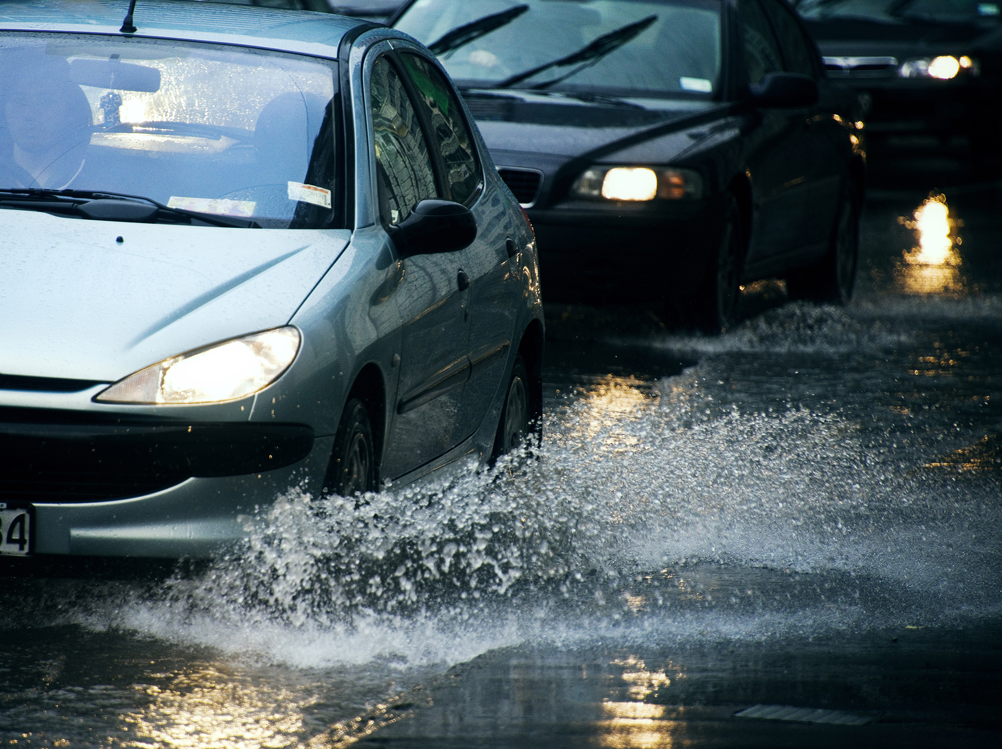
Consequences of floods
Most New Zealanders reside in coastal regions, and many communities are situated on active floodplains. Floods damage housing, infrastructure and farmland by:
- saturation
- hydrodynamic forces
- ground scouring or deposition
- transport of debris or pollutants.
River flood research at NIWA
NIWA is researching ways to predict flooding so that we are better able to judge areas at risk from flooding and better able to predict water depths and velocities should flooding occur. Such data is used for:
- quantifying risk (calculating damages should a flood occur in a particular area)
- town planning (identifying hazardous locations where building should be restricted)
- deciding safe evacuation routes and flood resilience and resistance for critical infrastructure (such as power and water supplies) in the event of a serious flood.
Areas prone to flooding can be predicted by mapping historic flood inundation zones and by undertaking hydraulic model studies.
In order to forecast flood inundation we must first predict the distribution of heavy rainfall which determines the rise and fall of the river flow (called a hydrograph) which, in turn, determines the overbank spreading of floodwaters.
For predicting the likelihood of inundation, we rely on analysis of historic river flow records to derive representative flood hydrographs for various recurrence intervals.
The process of modelling inundation incorporates components shown in the first diagram to the right.
This process requires:
- a robust hydrodynamic model that can simulate shallow and deep water, wetting and drying of areas, flow through vegetation and breaching of floodbanks
- a high-resolution representation of topography that has vertical accuracy of ±0.15 m or better. The bathymetry (underwater topography) can change during a flood due to scour and sediment deposition
- a geo-referenced map of surface roughness to allow calculation of water velocities over roads, fields, floodplains and through scrub, trees and buildings
- knowledge of tides and storm surge if the location is near the coast.
NIWA's Flood Frequency Tool
Providing the most comprehensive assessment of flood hazard across New Zealand rivers.
River flooding is a major threat to the safety and well-being of communities, infrastructure, and taonga. Floods are also a vital component of natural ecosystems. Understanding the magnitude and frequency of floods across New Zealand is therefore vital in managing flood risk and in understanding ecosystem dynamics.
Co-developed by research scientists and regional councils and updated with the latest flood and geo-spatial data, NIWA’s Flood Frequency Tool provides the most comprehensive assessment of flood hazard across New Zealand rivers. Freely available to councils and practitioners, users can obtain estimates of peak flood flows for a range of exceedance probabilities used for engineering and planning purposes.
Go to the Flood Frequency Tool
Contact Dr Shailesh Singh for enquiries about the Flood Frequency Tool.
Two reports describing the development and final form of the flood frequency model are available:
Regional Flood Estimation Tool for New Zealand Part 1 - August 2016 [PDF 2.6MB]
Regional Flood Estimation Tool for New Zealand Part 2 - June 2018 [PDF3.6MB]