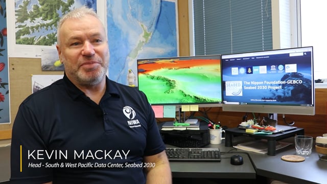
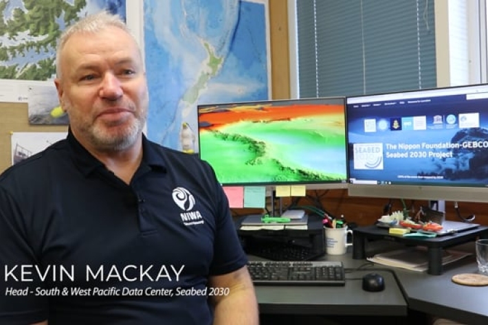
NIWA is leading a New Zealand partnership to map the South and West Pacific Ocean's seabed as part of a worldwide initiative to map the entire globe’s seafloor.
Called Seabed 2030, the project is a collaboration between The Nippon Foundation of Japan and the General Bathymetric Chart of the Oceans (GEBCO).
The project aims to combine all existing bathymetric (depth to the seafloor) data into a unified database; encourage efforts to collect and submit new data; and generate maps that are freely available to the public at a global resolution never achieved before.
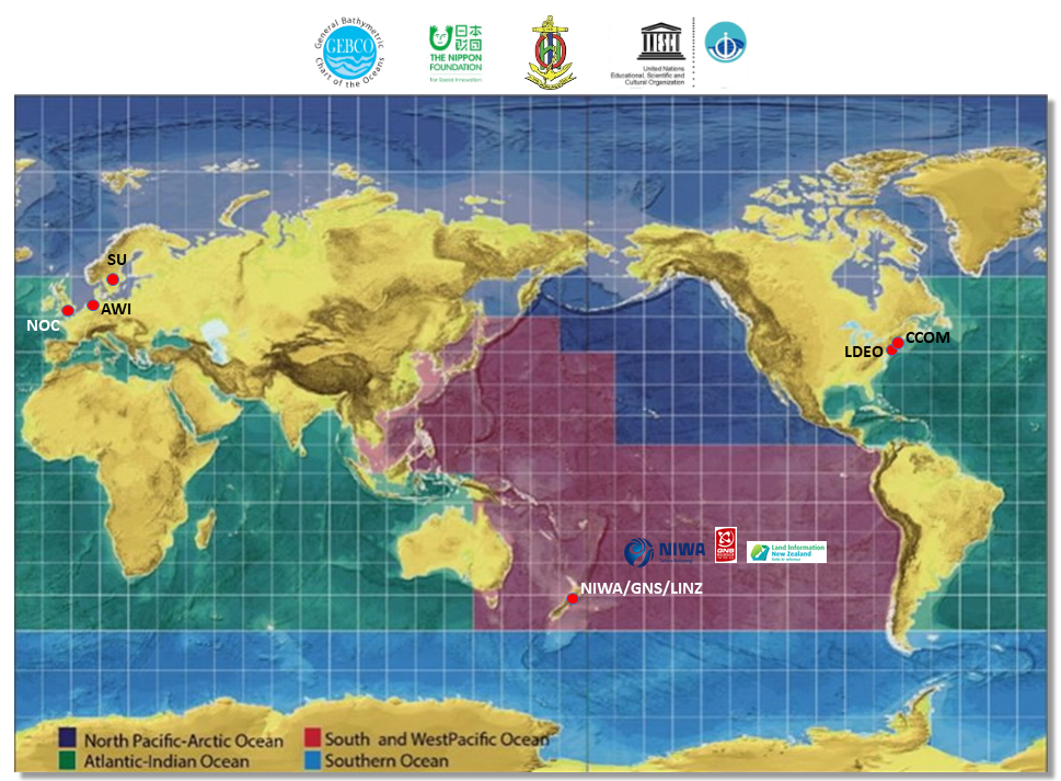
The work is being coordinated through four regional centres around the globe, with NIWA, GNS Science, and Land Information New Zealand (LINZ) jointly governing the South and West Pacific Ocean Regional Data Assembly and Coordination Center.
The regional centers are responsible for championing mapping activities; assembling and compiling bathymetric information; and collaborating with existing mapping initiatives in their regions.
The South and West Pacific center is based at NIWA in Wellington and looks after an area equivalent to a quarter of the world’s oceans - some 124 million square kilometres. It covers the Pacific Ocean from South America to Australia and the western part of the Northern Pacific Ocean to Japan, taking in the Exclusive Economic Zones of 39 countries and territories. The area includes the world’s two deepest trenches—the Mariana and Kermadec Trenches, both of which are more than 10km deep.
Currently less than 20% of the world’s ocean floor is adequately mapped. The project is aiming for the bold target of 100% coverage by 2030.
Why map the ocean floor?
Currently the topography of the ocean floor is less well known than the surfaces of Mercury, Venus, Mars, and the moon.
And yet knowing the depth and shape of the seabed is fundamental to understanding our world and will benefit mankind.
Knowledge of the shape of the seafloor is crucial for understanding the ocean movement patterns that distribute heat between the tropics and the poles—a key component of Earth’s climate system.
Detailed measurements of ocean depth are also crucial for modelling tsunami development and the resulting inundation of coastal areas.
The depth of our ocean floor affects tides, fishing resources, sediment transport, underwater geo-hazards, cable and pipeline routing, mineral extraction, oil and gas exploration and development, infrastructure construction and maintenance and much more.
The mapping process
Bathymetric maps are made by piecing together data as it is received from around the world. Identifying gaps - where bathymetric data are missing - is essential before new mapping expeditions can begin. Scientists are first establishing databases and sharing information to identify these data gaps.
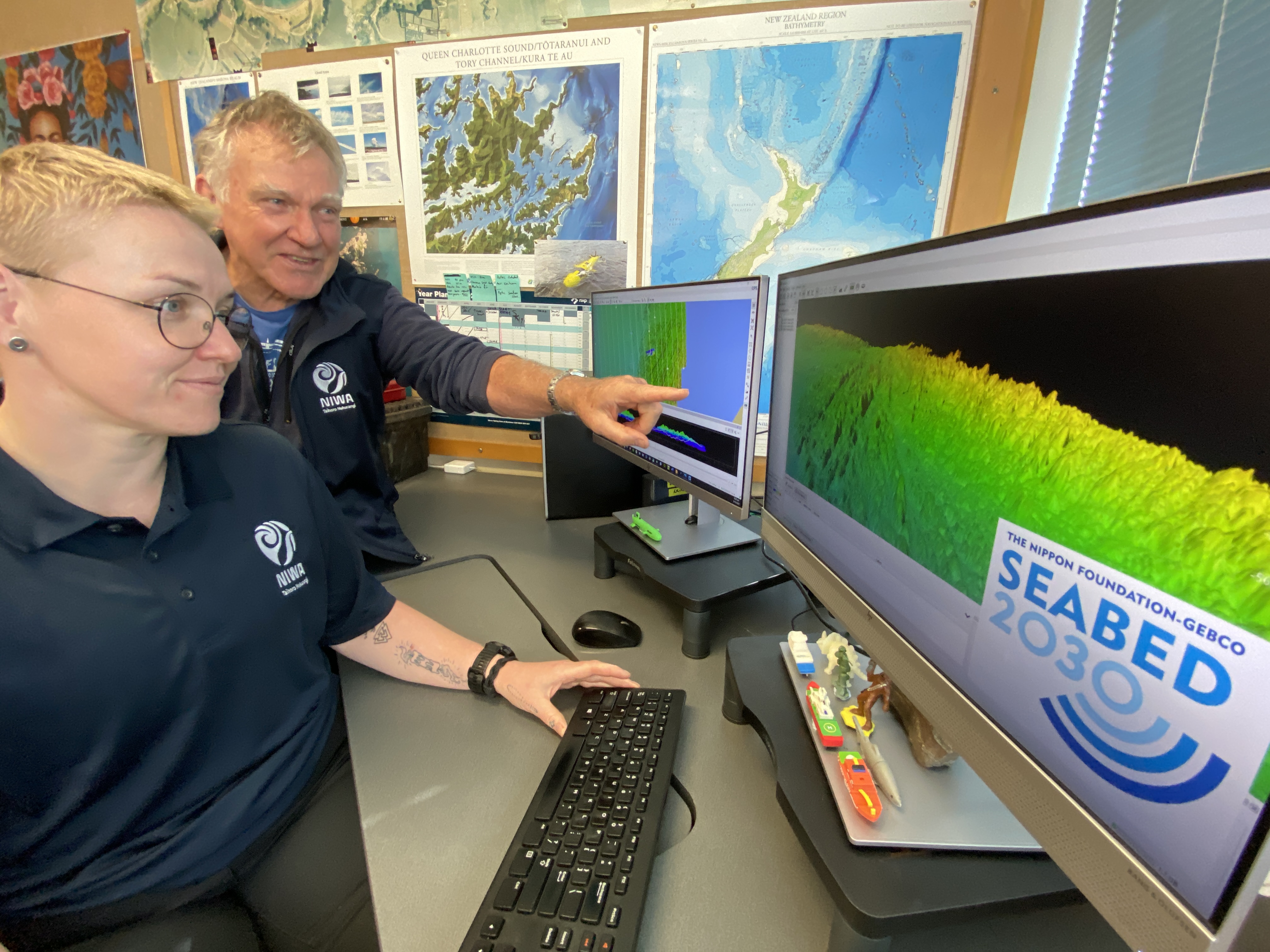
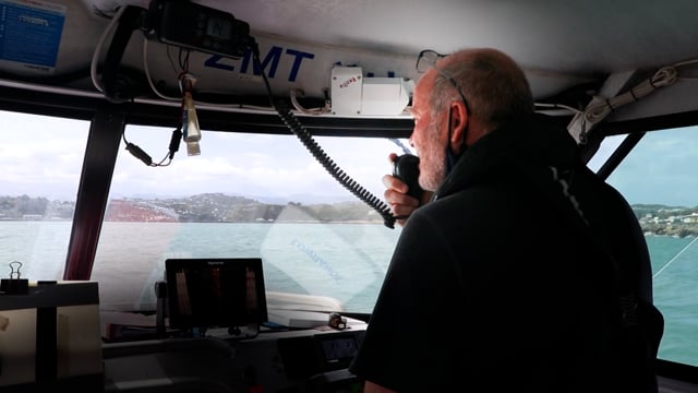
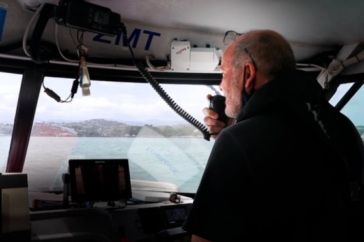
Data are gathered using acoustic technology. Modern echosounders emit a swathe of up to 800 high-frequency sound waves beneath the hull of a vessel. The time taken by each soundwave to travel from the vessel, bounce back off the seabed and return is used to calculate the depth of the seafloor.
A significant number of government and research organisations, institutions, universities, and businesses around the world have agreed to participate in the project, and this number is expected to grow.
Land Information New Zealand (LINZ) - New Zealand’s charting authority - is mapping the seabed in several coastal areas around the country, with plans for more mapping over the next decade to support safety at sea.
As data are collected, they are sent to a global center in Southampton, UK, where they are compiled into the final product – a bathymetric grid of the seafloor. Every year, a new compiled grid is published as a map and digital product from new data acquired over time.
The completed maps are being released on NF-GEBCO Seabed 2030’s official website and will also be made available for online resources such as Google Earth and ESRI’s Ocean Basemap.
Filling the gaps
The Seabed 2030 Project team is aware that bathymetric data is likely to exist in a range of locations and encourages those holding such information to submit it to help fill the significant gaps.
Academics, government agencies, the fishing industry and the shipping industry are all likely to hold a range of useful bathymetric information.
With so little of the ocean mapped, any existing data can help complete the map. The GEBCO global map already combines data from a variety of sources and instruments (e.g.: single beam, multibeam, ENCs, seismically derived data, satellite altimetry, LIDAR, etc). Regardless of the instruments used, spatial resolution, age or format – your data can help!
To contribute data:
https://www.gebco.net/about_us/contributing_data/
Data for the SW Pacific Ocean:
https://data-niwa.opendata.arcgis.com/pages/seabed2030
-
Seabed 2030
Did you know NIWA is leading a NZ partnership in a worldwide initiative to map the entire globe’s seafloor? Found out more about the Seabed 2030 initiative. -
Mapping the oceans through citizen science
The Seabed 2030 South and West Pacific Ocean Data Center is one of four global Regional Centres, each being responsible for data gathering and mapping in their territory.
Find out more:
-
Seabed 2030
Did you know NIWA is leading a NZ partnership in a worldwide initiative to map the entire globe’s seafloor? Found out more about the Seabed 2030 initiative. -
Mapping the oceans through citizen science
The Seabed 2030 South and West Pacific Ocean Data Center is one of four global Regional Centres, each being responsible for data gathering and mapping in their territory.
