RV Tangaroa voyage update
Tangaroa is now 100 km south-west of Hunga Tonga - Hunga Ha’apai volcano (HT-HH), surveying in 2,440 m of water in the Lau Trough.
29 April 2022
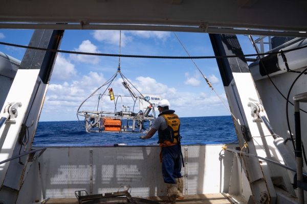
By sunrise, Tangaroa had completed sampling along the south-west ash gradient line. The last site was amongst a series of abyssal hills and our sub-bottom profile of the seafloor showed only a thin layer of sediments. This contrasted with the much thicker deposits seen along the south-west ash gradient line. Images captured from our Deep Towed Imaging System also showed abundant animal burrows and tracks, which suggests the atmospheric ash plume did not reach that far in this direction.
Attempts to core proved to be a struggle in this area and we did not get enough material to complete the analysis, so we sampled again at another site located away from the abyssal hills and slightly closer to Tongatapu.
Tangaroa is now sailing east, back towards Tongatapu to survey an unnamed seamount referred to by scientists as “Volcano 1”. This area is significant, as it hosts a well-documented community of mussels living on an active hydrothermal vent. These ecosystems are very vulnerable to external environmental factors and we are interested in assessing the impacts of the recent atmospheric HT-HH ashfall on these benthic communities.


