Surveying work carried out by NIWA scientists this week is helping provide new insights into the tsunami risk from undersea landslides in the Kaikoura Canyon.
The Kaikoura Canyon is a submarine canyon just off the east coast of the South Island, and connects the continental shelf with deep ocean basins to the north. Submarine landslides are one of the main processes that create submarine canyons. Landslides in the head of Kaikoura Canyon are thought to occur about once every 200 years on average.
Modelling by NIWA scientists in 2006 looked at the potential severity of tsunamis off the Kaikoura coast, either triggered by submarine earthquakes or as a result of a submarine landslide of sediment occurring at the head of the Kaikoura canyon.
The modelling showed that a submarine landslide at the head of the canyon would cause a significant tsunami that would arrive in South Bay with very little warning, with the crest of the wave about 13 metres above sea level (see below for more details).
Now NIWA scientists are using new technology to determine the size, shape and physical character of the sediment deposit in order to further assess the tsunami hazard if a landslide occurred.
"This is the most dynamic and active submarine canyon on the New Zealand margin, coming to within 500 metres of the shoreline and dropping to 1000 metres deep within 5 kilometres of the shoreline," says NIWA Marine Geologist Dr Joshu Mountjoy.
"Kaikoura is a very active seismic region and with the potential for large earthquakes, any unstable sediment could collapse during a good shake and generate a tsunami. We need to know just what the hazard is from such events to ensure the resilience of coastal communities."
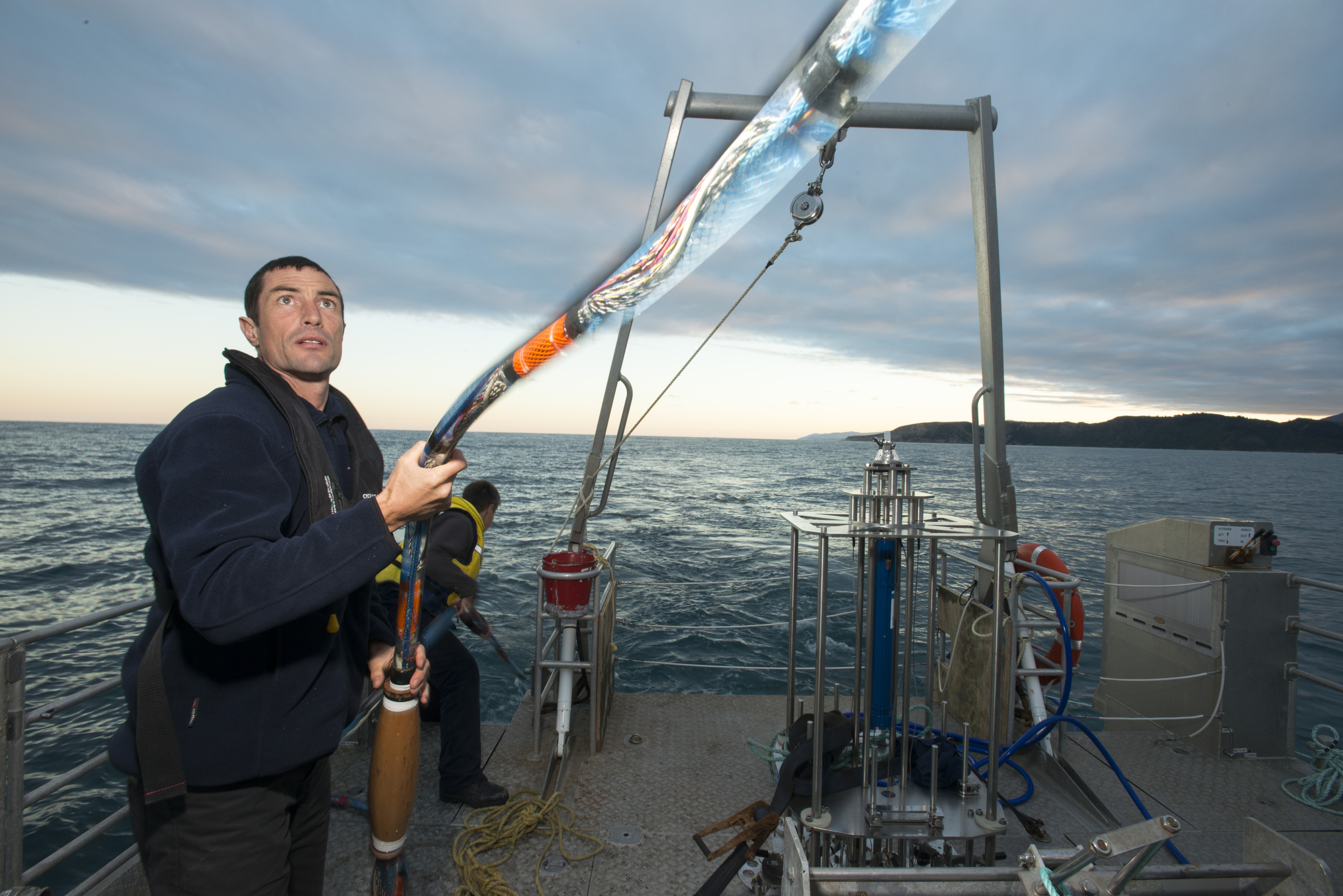
By collecting multibeam bathymetric data, boomer seismic reflection data and sediment core samples, the team mapped the shape of the seafloor, determined the thickness of the sediment and collected sediment samples to analyse how much sediment is accumulating in the canyon head due to ocean currents and large storm activity.
"Since the previous work was carried out on the Kaikoura Canyon head in the 1990s, new scientific techniques now allow us to determine the rate at which sediment has accumulated here over the last century" says NIWA scientist Dr Alan Orpin "and this has big implications for how much sediment accumulates in the canyon head" he adds.
Geophysical data collected this week will be combined with a geotechnical field and laboratory investigation of the sediment deposit and then fed into new tsunami source and inundation modelling to get a better idea of the scale of the potential tsunami risk.
"The best result from this work would be that the amount of sediment at the head of the canyon has been over-estimated in the past and the hazard is much lower that thought – but we won't know the answer to that until we have analysed the new data collected this week," says Dr Mountjoy.
NIWA's survey vessel Ikatere was used to do the survey work, which is co-funded by NIWA and Environment Canterbury.
Shifting Sands - Tsunami hazard off Kaikoura, NZ from NIWA on Vimeo.