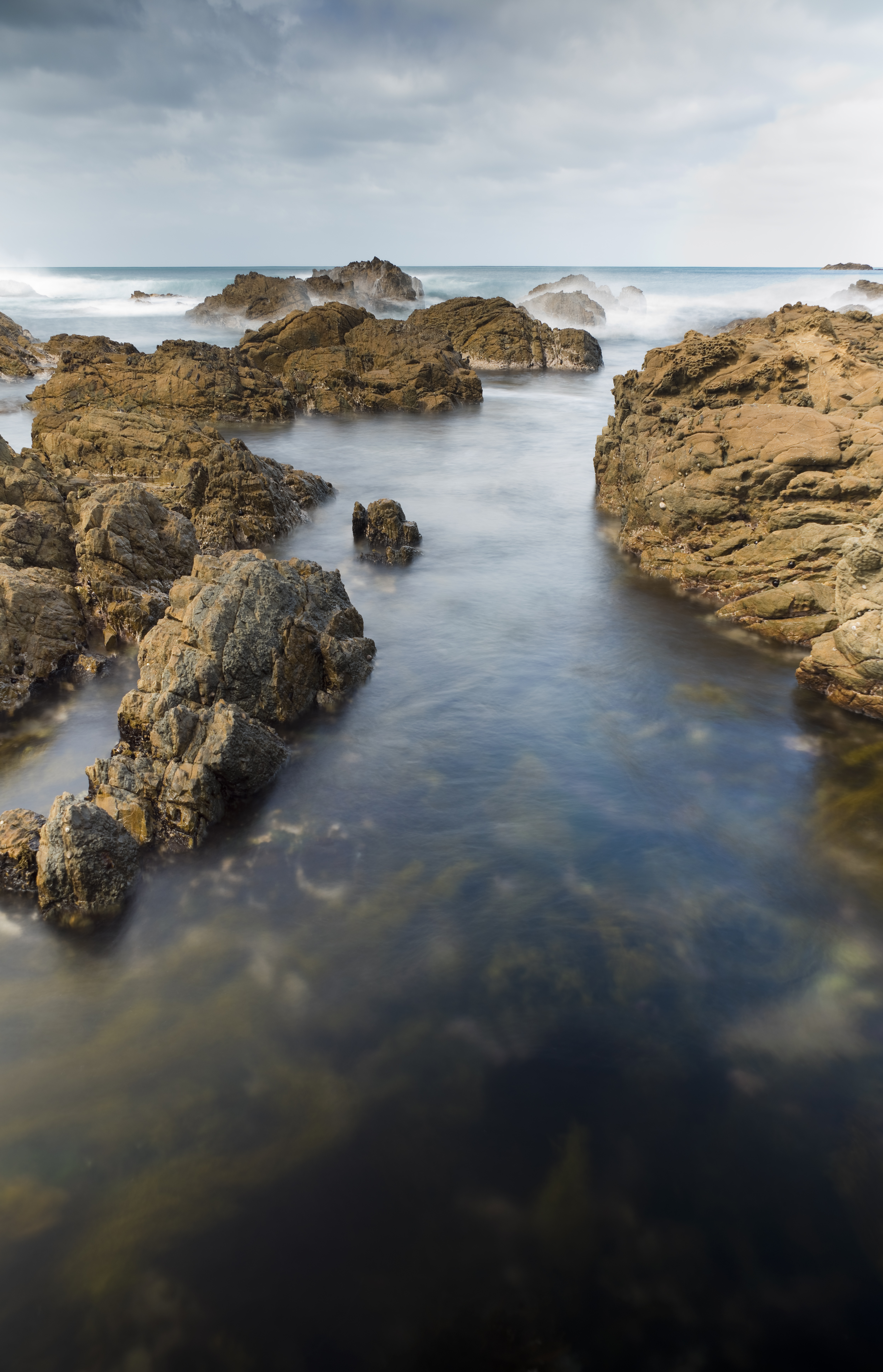
The coastal type classification describes the coast in terms of exposure, the type of foreshore sediment, inland and coastal geography .
From here you can find out about the different types of coast, their physical properties and how to use this information with Coastal Explorer.
These classifications were created using advice from expert panels including regional council staff, knowledgeable locals, university staff and consultants. The primary focus of the classification was to help assess and map hazards around the New Zealand coast, particularly the vunerability of different places to coastal erosion, inundation and the climate change.
What is covered in Coastal Explorer
The geographic coverage includes the New Zealand mainland and offshore islands at a basic scale of 1:50,000. We have started by classifying and mapping the open coast unconsolidated shores and beaches.
How we got the information
The coast was mapped using information from a wide variety of sources including 1:50,000 topographic maps, aerial photographs, RNZN hydrographic charts, various publications and reports, New Zealand Land Resources Inventory (NZLRI), the National Land Cover Data Base (LCDB), and the Estuarine Environment Classification database.
Numerical models were used to generate the tide, storm surge and wave data. In assembling the coastal and beach type information site visits were made to many beaches to obtain information that could not be collected from existing sources, and parts of the coast were flown by light aircraft to obtain oblique aerial photographs.