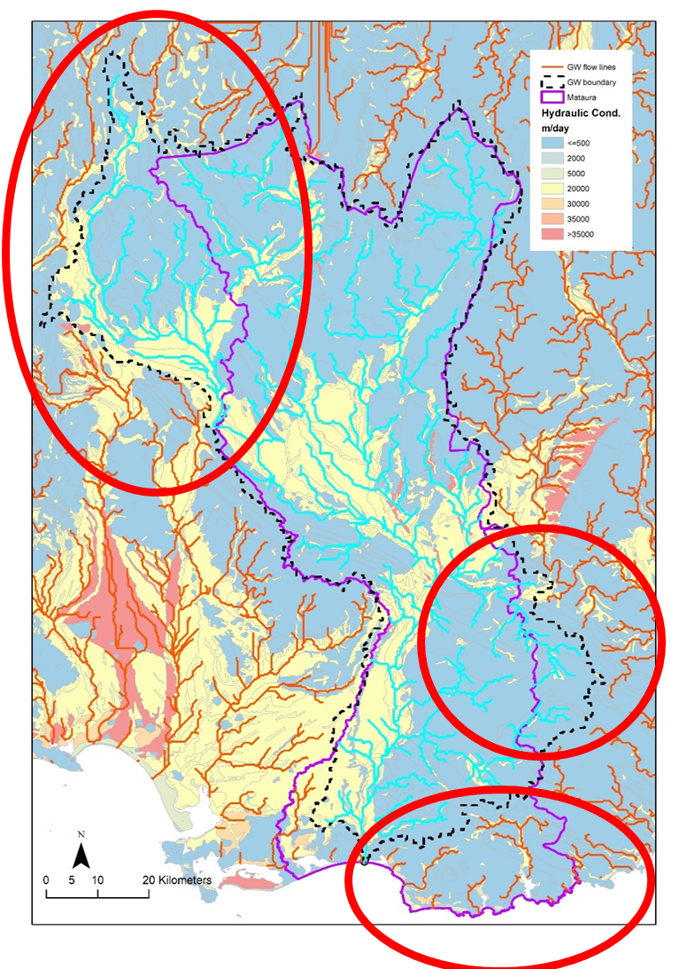
· Development of a simple methodology (based on existing data) to generate the locations of groundwater catchments that discharge to surface river network. This is illustrated in Figure 2 where the outline of the surface water and groundwater catchments (associated with the Mataura Freshwater Management Units in Southland) are represented by the purple line, and dashed line respectively. Areas where surface water catchment does not match groundwater catchment are circled in red.