Intensive land use increases nutrient runoff to rivers, lakes and estuaries with adverse effects on ecosystems. Determining what combinations of land use and management enable the health and services of these ecosystems to be maintained or restored is a major challenge for councils.
The science of nutrient generation, transport and effect is complex. In collaboration with Hawkes Bay Regional Council, NIWA are currently measuring the spatial and temporal changes in nutrient concentration and periphyton biomass that occur along the Tukituki River in Central Hawkes Bay. As part of the study, we have developed a mechanistic computer model TRIM (Tukituki River Model), which is being used to manage nutrient inputs and land use.
The Ruataniwha Plain in the middle Tukituki catchment supports large areas of dryland and irrigated farmland, with an expansion of irrigation proposed. In this area the mainstems of the river (Tukituki and Waipawa) have relatively low total phosphorus concentrations (<10 mg P m-3) and periphyton biomass (<50 mg Chlorophyll a m-2), although many tributaries originating on the plains are enriched. Nitrate concentrations (c. 1 g N m-3) are generally high.
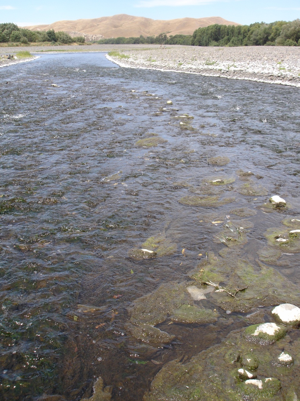
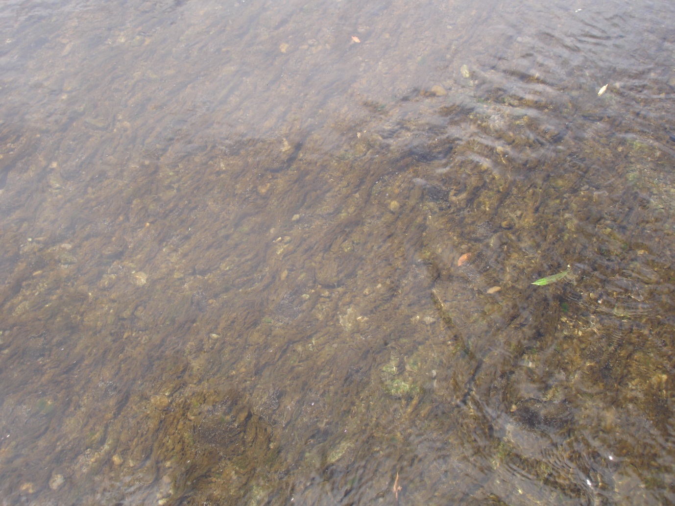
Currently wastewater discharges from the townships of Waipukurau and Waipawa enter the Tukituki River and increase phosphorus concentrations (although current consents will require reductions in the near future). This in turn increases the growth rate of periphyton, producing unsightly periphyton growths that adversely affect swimming and trout fishing in the lower Tukituki, especially during summer low flows. During these low flows, phosphorus concentrations decrease with distance. Downstream of the townships' discharges, concentrations of dissolved reactive phosphorus go from a maximum of 30-40 mg P m-3 to a plateau of 2-5 mg P m-3 in the lower river. Over the same distance, nitrate concentrations decrease from 1500-2000 mg N m-3 to below detection. Periphyton biomass is difficult to quantify and is spatially variable. However, biomass is highest just below the townships (300-400 mg Chlorophyll a m-2) and decreases with distance, but in places is high (c. 100 mg Chlorophyll a m-2) even in the lower Tukituki. The decrease in nitrate concentration is much larger than can be explained solely by periphyton uptake.
There is evidence that significant denitrification (microbial conversion of nitrate to nitrogen gases that are lost to the atmosphere) occurs in the Tukituki – an important finding because denitrification is reported to play only a minor role in many rivers. It is not clear whether phosphorus reaches a plateau in the lower Tukituki because of: (a) recycling from dead and decaying periphyton biomass (viz., phosphorus spiralling), (b) low periphyton growth caused by low nitrate concentrations, or (c) phosphorus release from fine sediment in the stream bed. It is important to quantify these three processes as they help guide catchment management.
Further investigations are underway using a combination of experimental work and modelling using TRIM.