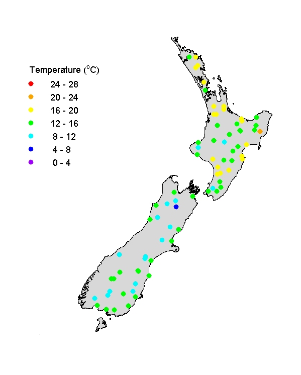
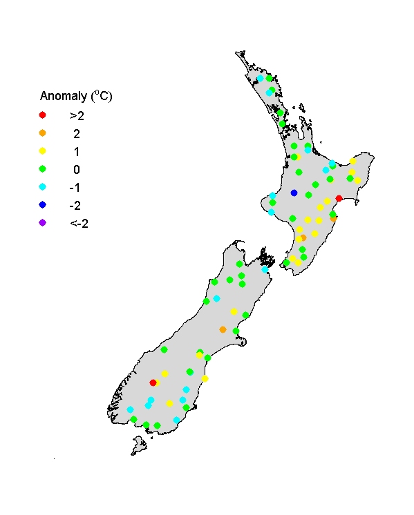
River Temperatures (OND)
Spring river water temperatures ranged mostly from 8-12oC in the southern South Island and alpine catchments to 16-20oC in the north and east of North Island - showing the typical broad altitudinal and latitudinal (S-N) trends. River water temperatures were fairly typical for spring except for higher than normal temperatures in the east and south-central parts of the North Island (the lower Mohaka River at HV5 was >2oC warmer than typical), and some south-eastern-flowing rivers of the South Island (notably the Shotover River at AX3), broadly consistent with a pattern of fine weather and low river flows in these areas.
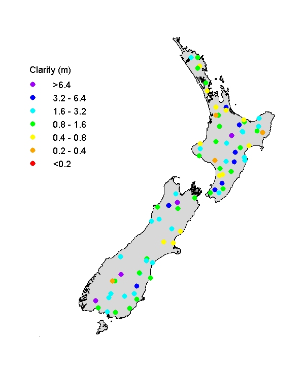
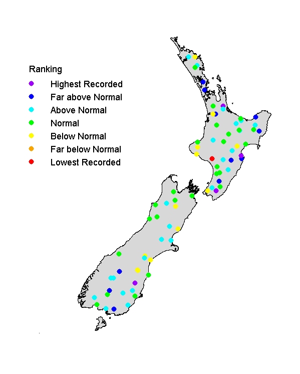
Visual clarity of rivers (OND)
Visual clarity of rivers ranged widely, from <0.4m to >6 m, probably reflecting soil types and erosion resistance of rocks, with pastoral land use in catchments typically yielding lower visual clarity than forest. Visual clarity was fairly typical for spring at most river sites, consistent with fairly normal flows (visual clarity is strongly inversely related to flow state in rivers). Some rivers were clearer than typical where flows were relatively low in the east and south-central parts of North Island and in parts of the South Island. However, the lower Whanganui River (WA4) was unusually turbid (<0.4 m).