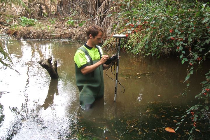
Walking the whole length of streams is slow and difficult, but by far the best way to learn about their environmental condition.
Waitakere City Council, like all district and city councils in Auckland, is required to develop an Integrated Catchment Management Plan (ICMP) for the area it administers. To develop a robust ICMP, the Council needed detailed information on all the main streams and rivers flowing through the built-up area of the city, and all the points where the city’s stormwater system interacts with these waterways.
It needed to know about the current health of the waterways, any problems being caused by structures such as bridges, culverts and stormwater inflows, and any potential problems. These could include pollution, erosion, flooding, or risks to public safety or health. To help with its stream restoration programme, ‘Project Twin Streams’, the Council also wanted to know where there is greatest potential to improve the health of the urban stream network.
Walking the streams
Walking the whole length of streams is slow and difficult, but there is no better way to collect detailed environmental information. NIWA stream ecologist Christian Hyde, and an engineer from Beca Environmental, walked over 60 km of Waitakere City’s urban streams over a period of three years. The streams walked ranged from small, often hard-to-find, headwater tributaries, to the two large ‘Project Twin Streams’ rivers and estuarine Henderson Creek. The team used a kayak to navigate the larger waterways.
They recorded information about a wide range of parameters in a searchable map-based GIS format, hyperlinked to site photographs. These parameters included:
- channel morphology
- flow types (chutes, riffles, runs, pools)
- stream bed sediment load
- basic water quality (pH, temperature, dissolved oxygen, clarity)
- riparian vegetation
- barriers to fish migration
- instream plant growth
- areas where erosion and pollution were evident.

Inspecting a culvert and pipe bridge. (Photo: Richard Storey, NIWA)
Are Waitakere’s streams in good condition?
We concluded that the general health of Waitakere urban streams is very good compared to urban streams in other places. Some problems were identified – for example, migration of native fish was being blocked by culverts in places; many of these culverts could be easily modified to allow fish passage. As a result of our survey, Waitakere City Council is now in a position to prioritise certain streams for restoration actions such as these.
Sites with the most severe erosion can now also be prioritised for remediation works. We found very few incidents of sewage overflows, which cause damage to aquatic ecosystems and risks to public health; also only a few isolated incidents of oil spills or other pollution. Our survey meant that Waitakere City Council’s GIS-based inventory of stormwater pipe discharges to streams was updated with a number of new records. This will help the Council to find the source of any problems that may be caused by these discharges in future.
Streams for people
The survey also highlighted the high amenity value of many Waitakere urban streams. Many people enjoy walking and jogging beside the waterways, swimming, kayaking, and even (on the city boundaries) gathering eels for food. Recording how and where residents interact with their local streams helps the Council manage them more effectively to enhance public use and enjoyment.
Streams for inanga
Finally, the survey indicated that the mouths of many small urban streams in Waitakere City provide, or potentially provide, good quality spawning habitat for inanga (whitebait). These spawning habitats could enhance inanga populations, not only in Waitakere, but because of the enclosed nature of Auckland Harbour, also in many other Auckland streams. So our stream survey may help to enhance this ecological function in the future, potentially benefitting inanga populations over a wide area.
Contact: Dr Richard Storey