The ideal research platform
NIWA proudly owns and operates RV Tangaroa, a 70 m Ice Class scientific platform.
The research vessel supports oceanographic and fishery surveys throughout the South Pacific, New Zealand, the sub-Antarctic islands and the Ross Sea.
The diverse range of modern and sophisticated equipment available onboard enables sampling and measurements to be taken from the sea surface, through the water column to the seabed and below.
Tangaroa is New Zealand’s only ocean-going research vessel, equipped with dynamic positioning, allowing her to remain stationary or track a precise path over the seabed, even in the often-challenging Southern Ocean environment.
The vessel is operated by 15 full time crew employed by NIWA, highly experienced in deploying, recovering and operating a broad range of scientific equipment.
The vessel can survey the seafloor to hydrographic quality, and is able to produce high-resolution imagery of the geology up to 200m below the seabed, and even deeper using NIWA’s multichannel seismic system.
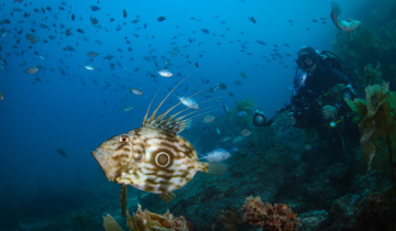
NIWA can provide or source most key equipment required for ocean science including a range of fishing nets and acoustic sounders developed for fishery and water column surveys, varying models and makes of autonomous and remotely-operated underwater vehicles, an assortment of underwater cameras, seabed landers, and moorings.
Tangaroa is an ideal vessel for ocean exploration, atmospheric, fishery and marine geology research.
Our services and expertise
NIWA has more than 40 years of experience working in New Zealand’s marine realm and has conducted 14 voyages to Antarctica and many more in sub-Antarctic waters.
We provide world-class services and expertise, and can easily adapt to support new and innovative opportunities, making every project a success.