This research project aims to establish connections between weather and river flow forecasting, inundation prediction, and the associated risks to people and assets, using the RiskScape platform.
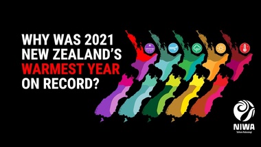
It's official, 2021 was Aotearoa New Zealand’s warmest year on record. The year 2021 finished with an average temperature of 13.56°C in New Zealand, this was 0.95°C above average (relative to the 1981-2010 baseline) and surpassed 2016 to become the country's new warmest year on record. Read more at Annual Climate Summary 2021.
The NIWA and MetService assessment of named tropical cyclone (TC) activity indicates 9 to 12 named TCs could occur in the Southwest Pacific basin between November 2021 and April 2022. The seasonal outlook is for normal to slightly above normal activity in terms of overall named TCs in the region.
The NIWA and MetService assessment of named tropical cyclone (TC) activity indicates 8 to 10 named TCs could occur in the Southwest Pacific basin between November 2020 and April 2021. This seasonal outlook is for normal to below normal activity in terms of overall named cyclone systems in the region.
Forecasting sea surface temperatures several months in advance is challenging. To give us insights into what might happen around Aotearoa New Zealand in the months to come, NIWA scientists have combined predictions from eight different climate models from institutes around the world.
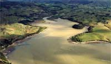
A weekly update describing soil moisture patterns across the country to show where dry to extremely dry conditions are occurring or imminent. Regions experiencing significant soil moisture deficits are deemed “hotspots”. Persistent hotspot regions have the potential to develop into drought.
This research project aims to establish connections between weather and river flow forecasting, inundation prediction, and the associated risks to people and assets, using the RiskScape platform.
Forecasting sea surface temperatures several months in advance is challenging. To give us insights into what might happen around Aotearoa New Zealand in the months to come, NIWA scientists have combined predictions from eight different climate models from institutes around the world.
El Niño continued during October and will likely intensify over the next three months. It has around a 100% chance of persisting during this time. There’s an 80% chance of El Niño continuing through autumn, maintaining an important influence on Aotearoa New Zealand’s climate.
A weekly update describing soil moisture patterns across the countryto show where dry to extremely dry conditions are occurring or imminent. Regions experiencing significant soil moisture deficits are deemed “hotspots”. Persistent hotspot regions have the potential to develop into drought.
El Niño has officially arrived. A majority of NIWA’s criteria for classifying an El Niño event were satisfied during September. In particular, the Southern Oscillation Index was firmly in El Niño territory, suggesting the atmosphere has become coupled to the ocean.
Forecasting sea surface temperatures several months in advance is challenging. To give us insights into what might happen around Aotearoa New Zealand in the months to come, NIWA scientists have combined predictions from eight different climate models from institutes around the world.
NIWA meteorologists say people living in the North Island are likely to get the best views of the Matariki star cluster, particularly on Friday morning.
The monthly NINO3.4 Index anomaly (in the central equatorial Pacific) at the end of June was +0.93˚C. This is warmer than it was at the same time during the development of strong El Niño events in 1997 and 1982.