
What lies beneath Wellington Harbour?
What lies beneath Wellington Harbour?
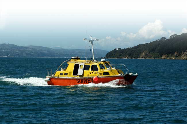
Pelorus in Evans Bay, Wellington Harbour. (Photo: Alan Blacklock, NIWA)
All will be revealed through detailed seafloor mapping of Wellington Harbour, with a survey due to be completed in late January 2008. NIWA’s 10.5 m survey launch Pelorus will criss-cross the harbour, directing 254 sonar beams simultaneously at the seafloor to produce detailed images of its lumps, bumps, surface texture, and features like shipwrecks and springs.
The project is a joint venture between NIWA, the Department of Conservation (DOC), and Greater Wellington Regional Council.
“The survey will increase our understanding of the harbour and aid decisions about its management in terms of things like shipping and wastewater discharges,” says Felicity Wong, Manager of DOC’s Marine Conservation Unit. Results will be made available to the public in the form of a poster-sized map.
The simulations are already being used by environmental managers to underpin risk assessments to aid prediction of sediment effects.
“The multibeam images will pick out rocky reefs around the edge of the harbour and distinguish between different substratetypes, such as rock, rippled sand, or gravel,” says Dr Ian Wright, leader of NIWA’s National Centre for Coasts & Oceans. “This information can indicate what types of animals you’d expect to find living in different parts of the harbour.”
The survey will also map sediments deposited by the Hutt River and take a close look at undersea freshwater springs near Matiu-Somes Island, the 1942 wreck of mine sweeper South Seas, and possible keel and anchor drag marks around the container terminal.


