
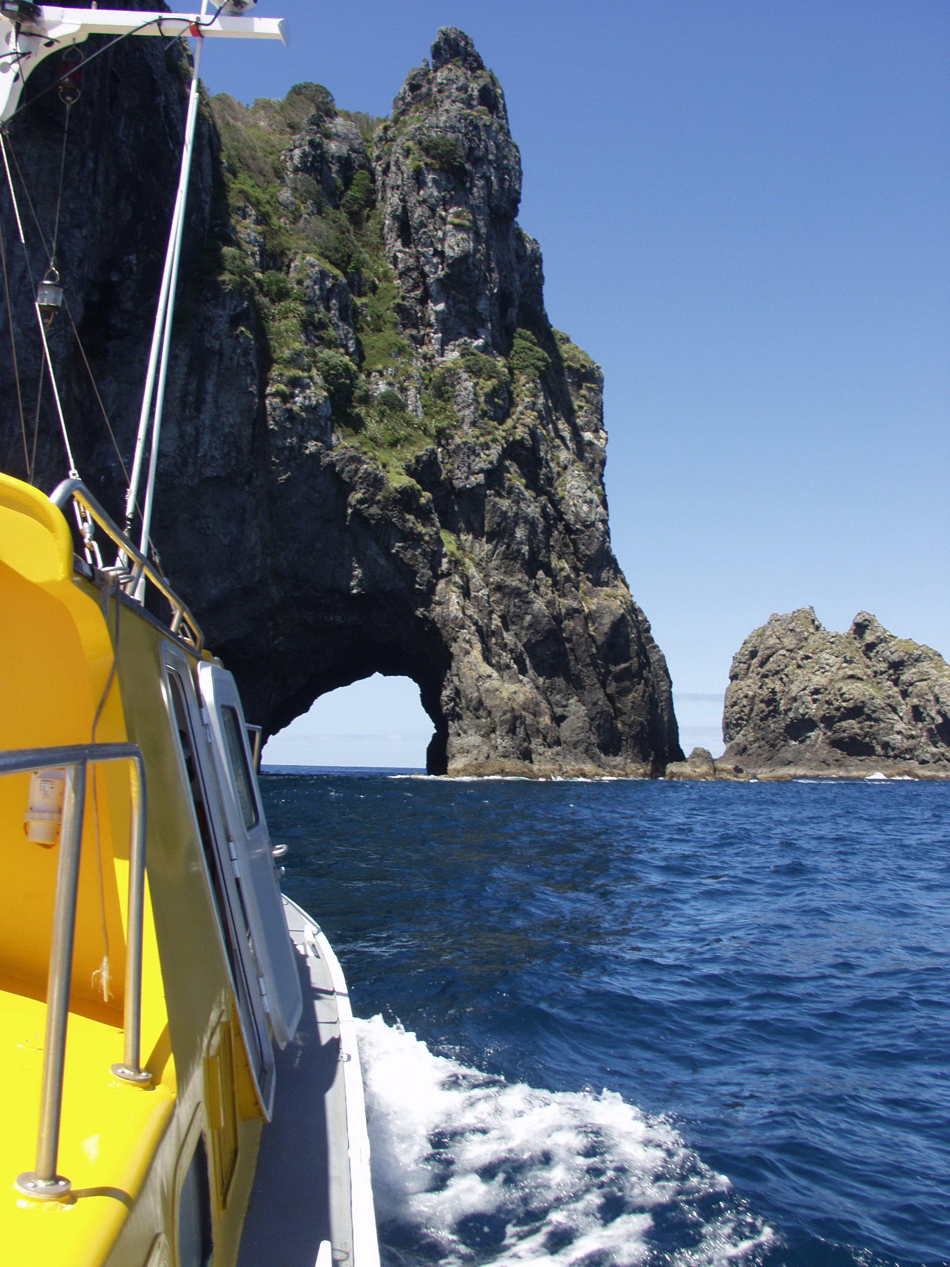
Bay of Islands Coastal Survey complete
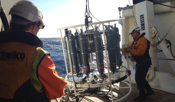
The Bay of Islands coast is under increasing pressure from human activities, both land-based and marine. As part of the government’s Ocean Survey 20/20 programme, Land Information New Zealand (LINZ) commissioned NIWA to carry out a comprehensive survey of the region’s seafloor habitats and biodiversity.
Patterns in seafloor sediments and biodiversity
While the primary goal was to gather and capture data for later analysis, some clear patterns have emerged:
- Sediments become progressively sandier and less rich in organic matter further out from the coast, partially reflecting effects of land use.
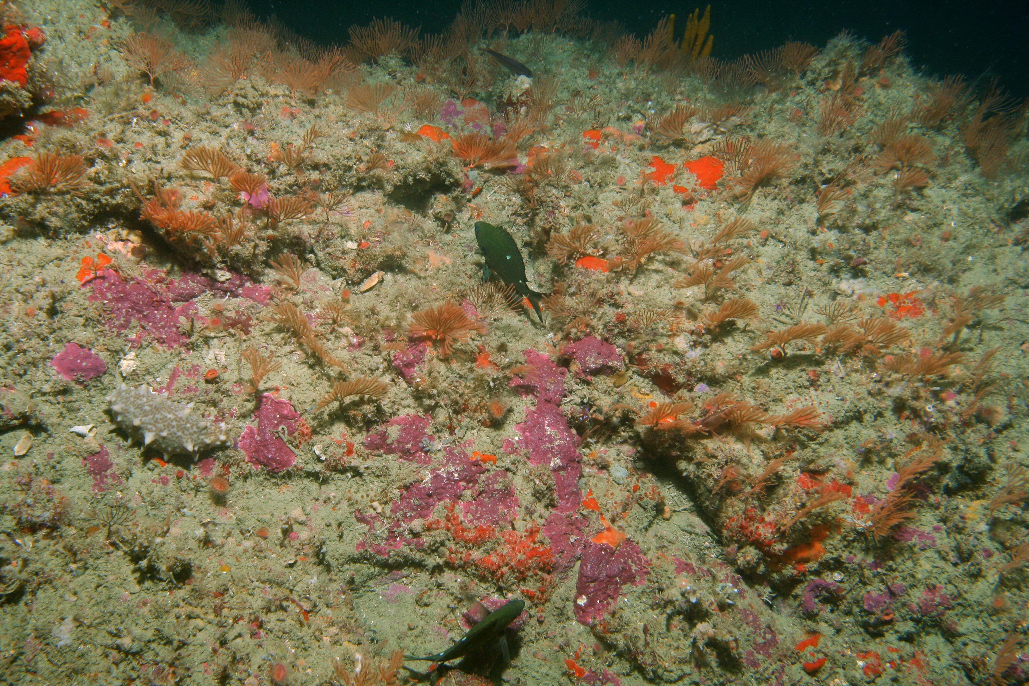
- The most complex seafloor communities are found on the rocky reef systems and in the sheltered coastal areas such as Te Rawhiti Inlet; with simpler communities found around the upper estuarine inlets and in the middle of the Bay proper.
- Overall species diversity is higher at subtidal rocky reefs in the outer Bay than in the inner areas, probably due to lower amounts of suspended sediment reaching these outer areas.
- The complexity and species richness of soft sediment systems is enhanced by habitat-forming species, including seagrass meadows, rhodolith and shellfish beds, and tubeworm mats.
- The Bay appears to be an important nursery ground for snapper, with juveniles associated with higher levels of seafloor complexity, such as horse mussel beds and patch reefs.
These patterns will help identify areas of conservation value and assess human impacts on the marine environment. Data gathered on accumulation rates and sources of sediments, and levels of microbes and heavy metals, are helping to identify threats to the marine environment and human health.
Sedimentation a major stressor in the Bay:
- Rates of sediment accumulation in the shallow parts of the Bay are at the upper end of averages estimated for other North Island systems.
- They’ve also increased in intensity over the last 100 years due to deforestation and associated land-use changes.
- Annual sedimentation rates today are about 20 times higher than they were before humans first settled the area about 730 years ago.
- Rivers and inlets (especially Kawakawa) are important as sources and depositional sites of sediments and pollutants.
Sedimentation affects plants and suspension-feeders living in sheltered coastal areas, as they are highly sensitive to lowered light levels and food content respectively.
“As well as reducing biodiversity in the inner Bay, sedimentation has reduced the extent of subtidal seagrass meadows and other more structured seafloor habitats that juvenile snapper and other species utilise as nurseries, says NIWA project leader Dr Mark Morrison. This has a high likelihood of cascading negative effects into coastal fisheries production.”
The project was coordinated by Land Information New Zealand (LINZ), and was carried out in conjunction with the Department of Conservation and Ministry of Fisheries, with input from local stakeholders including the Northland Regional and Far North District councils, tangata whenua and Bay of Islands Maritime Park Inc.
NIWA contact: Dr Mark Morrison


